69 Cambridge Terrace, Christchurch Central City
12 reports on record since June 2016 · 9 with photographs. The street’s heaviest record is 2 Cambridge Terrace — 251 reports on file. Indicative rating valuation and school zones, hazards, bin day and what stood here before.
What gets reported here
Photographed here 9 on record


Reported here
 Road Signage —
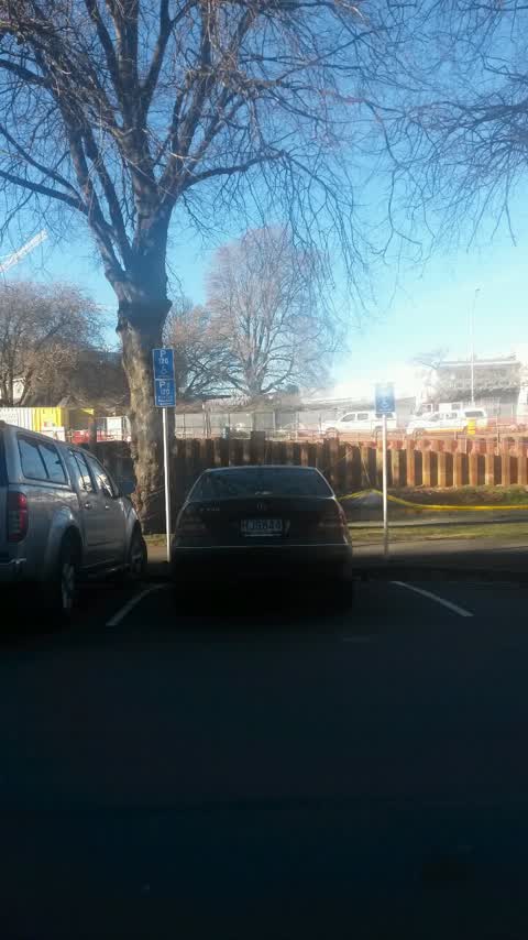
hi this is parking warden 218, right opp 69 Cambridge tce. p$120 mon sun 9am 6pm sign has gone missing. people are misusing the car park as
 Road Signage —
Found sign on cone in the river ,needs to get put back up on the poll
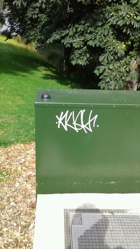
 Graffiti somewhere else —
 Poles and Signage - General —
Pole is not hold in the ground properly
 Poles and Signage - General —
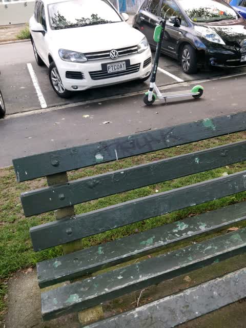
- Dumped Rubbish —
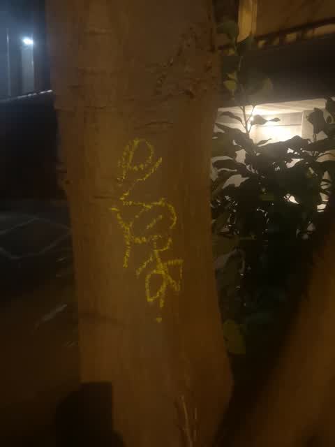
- Graffiti —
- Vandalism - General —
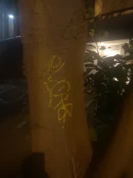 Graffiti —
Graffiti —
Roading/Streets —
Disabled yellow road markings need painting opp 69 Cambridge Tce. URGENT. Continuous complaints regarding this space being taken advantage o
Also reported on Cambridge Terrace
- 2 Cambridge Terrace — 251 reports
- 357 Cambridge Terrace — 116 reports
- 88 Cambridge Terrace — 92 reports
- 351 Cambridge Terrace — 81 reports
- 129 Cambridge Terrace — 80 reports
- 343 Cambridge Terrace — 79 reports
- 230 Cambridge Terrace — 74 reports
- 131 Cambridge Terrace — 72 reports
The street’s crash record
NZTA’s record names Cambridge Terrace in 44 crashes that hurt somebody since 2006 — 11 seriously hurt, nobody killed.
The green nearby
- Tiffany Reserve — 53 m to the edge
- Friendship Corner — 126 m to the edge · Botanic
- Bridge Of Remembrance — 144 m to the edge · Botanic
- Scott Statue Reserve — 346 m to the edge · Botanic
- Botanic Gardens — 348 m to the edge · Botanic · 21 ha
Parks within half a kilometre, measured to the boundary — the council’s open data.
The civic shelf nearby
- Scales — 93 m away · Car park
- Civic Offices — 254 m away · Council office
- Re:start - Lichfield St — 372 m away · Car park
- Triangle — 462 m away · Car park
- Rolleston Avenue — 492 m away · Car park
Libraries, halls and the rest within half a kilometre — the council’s open data.
On the doorstep
- Athfield Architects — 21 m away · Business
- Riverside Dental — 22 m away · Business
- PodiatryMed & Physiotherapy — 23 m away · Business
- Lumino — 34 m away · Dentists
Businesses within four hundred metres, measured at the pin — OpenStreetMap and the council directories.
The bus nearby
- Hereford St near Montreal St — 225 m away · route 8
- Hereford St near Montreal St — 239 m away · route 8
The closest Metro stops, within four hundred and fifty metres.
The tracks through here
- Walk and bike track through Christchurch Central City — 118 m to the line · walk · bike
- Walk and bike track through Christchurch Central City — 139 m to the line · walk · bike
- Walk and bike track through Christchurch Central City — 156 m to the line · walk · bike
- Walk and bike track through Christchurch Central City — 165 m to the line · walk · bike
- Walk and bike track through Christchurch Central City — 325 m to the line · walk · bike
Tracks whose line passes within half a kilometre, measured to the line itself — the council’s open data.
The named ground
Named water within 500 m of this address, measured to the line or the edge; Named places within 1.5 km of this address; the council’s own structure register — bridges, boardwalks and steps standing nearby — the open map’s record.
The remembered names nearby
- Rose — 130 m away ·
Rose. Soroptimist International Donated and planted by Soroptimists of Christchurch To cel
· 2009 - Planted on 14th April 1983 by His Excellency Premier Zhao — 143 m away ·
PLANTED ON 14TH APRIL 1983 BY HIS EXCELLENCY PREMIER ZHAO ZIYANG OF THE PEOPLE'S REPUBLIC
· 2009 - Halswell Quarry — 144 m away ·
HALSWELL QUARRY / (bronze plaque describing quarry history – partial)
· 2010
Inscribed plaques within two hundred and fifty metres — the register’s pins, not surveyed spots. The whole roll is at /plaques.
Renting nearby
new bonds in Christchurch Central City ran about $508 a week — $42 below the city median of $550 — the suburb page keeps the rent record →.
What was here — Commercial Building and Setting
29 m away · 65 Cambridge Terrace · located to ±25 m · the place’s own record →
On the register. Nothing researched here yet.
What was here — Rhododendron Island and Setting
54 m away · 78 Cambridge Terrace · located to ±37 m · the place’s own record →
On the register. Nothing researched here yet.
What was here — St Michael and All Angels Church Belfry and Setting
93 m away · 90 Oxford Terrace · located to ±5 m · the place’s own record →
On the register. Nothing researched here yet.
What was here — Former Dwelling and Setting
104 m away · 95 Oxford Terrace · located to ±18 m · the place’s own record →
On the register. Nothing researched here yet.
What was here — St. Michael and All Angels Church & Setting
120 m away · 90 Oxford Terrace · located to ±25 m · the place’s own record →
On the register. Nothing researched here yet.
The civic layer
This ground votes in Central ward — the Papanui-Innes-Central community board. Ward lines don’t always follow suburb lines; this one is measured at the pin, not the suburb’s centre.
What stood on this ground → · On the map → · From the air — the Crown’s aerials back to 1936; search the address on RetroLens →
Questions, answered briefly
12 council reports on record since June 2016 — most often graffiti (4), road signage (2), poles and signage - general (2).
Christchurch Central City, Christchurch — on Cambridge Terrace.
The heritage register names 5 places at or beside it — Commercial Building and Setting, Rhododendron Island and Setting.
Tiffany Reserve — 53 m to its edge.