311 Worsleys Road, Cracroft
11 reports on record since January 2019 · 8 with photographs. The street’s heaviest record is 313 Worsleys Road — 32 reports on file. Indicative rating valuation and school zones, hazards, bin day and what stood here before.
What gets reported here
- Wastewater/Stormwater — 2
- Parks — 2
- Water Leak — 1
- Street Gutters / Storm Water — 1
- Rubbish/Recycling — 1
- Road Signage — 1
Photographed here 8 on record


Reported here
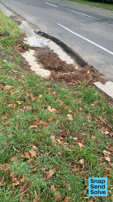
 Street Gutters / Storm Water —
 Blocked road drain
 Poles and Signage - General —
 Why does this sign say just 'road closed' for when there is another way to get to the top of Worsleys Rd up Penruddock Rise? Google refused
 Damaged Road —
 Looks like some heavy machinery has broken up the side of the road.
- Water Leak —
This was fixed yesterday but again today there is a torrent of water running down at the join of public access and private driveway.
 Road Signage —
 The signage at the corner of Cashmere Road and Henderson Road is overgrown with plants etc and is almost not visible.
- Pothole —
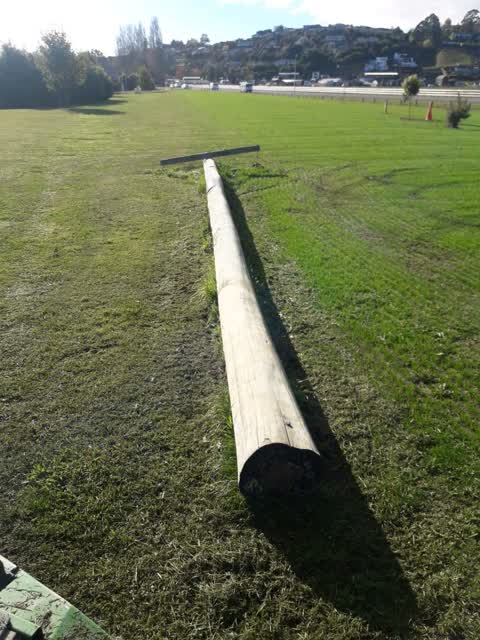
Parks —
can we get more
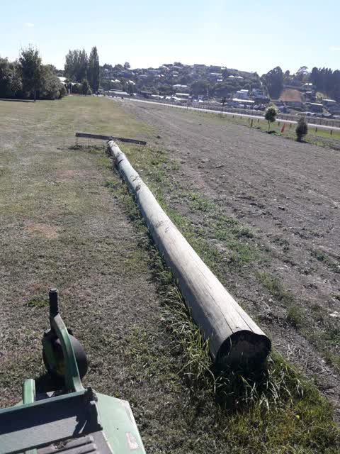
Parks —
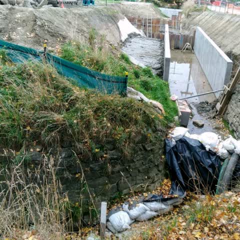
Wastewater/Stormwater —
Stones removed from historic drain at 225 Worsleys Rd - Cashmere Estate Development
Wastewater/Stormwater —
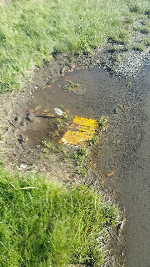
Leaking water valve
- Rubbish/Recycling —
Rubbish dumped on side of road.
Also reported on Worsleys Road
- 313 Worsleys Road — 32 reports
- 323 Worsleys Road — 16 reports
- 14B Worsleys Road — 16 reports
- 347 Worsleys Road — 15 reports
- 7B Worsleys Road — 11 reports
- 317 Worsleys Road — 11 reports
- 48 Worsleys Road — 10 reports
- 349A Worsleys Road — 8 reports
The street’s crash record
NZTA’s record names Worsleys Road in 5 crashes that hurt somebody since 2006 — 0 seriously hurt, nobody killed.
The green nearby
- Cashmere Stream Esplanade Reserve — 19 m to the edge · 5 ha
- Westmorland East Valley Reserve — 293 m to the edge · 12 ha
- Waipara Playground — 359 m to the edge
Parks within half a kilometre, measured to the boundary — the council’s open data.
On the doorstep
- Village Cafe Bar — 369 m away · Cafés
- Christchurch Adventure Park — 376 m away · Attractions
Businesses within four hundred metres, measured at the pin — OpenStreetMap and the council directories.
The tracks through here
- Walk and bike track through Cracroft — 6 m to the line · walk · bike
Tracks whose line passes within half a kilometre, measured to the line itself — the council’s open data.
The named ground
Named water within 500 m of this address, measured to the line or the edge; the council’s own structure register — bridges, boardwalks and steps standing nearby — the open map’s record.
The remembered names nearby
- In Memory of / Duncan Lindsay / 1928 – 2013 — 194 m away ·
In memory of / DUNCAN LINDSAY / 1928 – 2013 / and his many years of service / in the Cracr
· 2016
Inscribed plaques within two hundred and fifty metres — the register’s pins, not surveyed spots. The whole roll is at /plaques.
Renting nearby
new bonds in Cracroft ran about $713 a week — $163 above the city median of $550 — the suburb page keeps the rent record →.
The civic layer
This ground votes in Cashmere ward — the Spreydon-Cashmere-Heathcote community board. Ward lines don’t always follow suburb lines; this one is measured at the pin, not the suburb’s centre.
What stood on this ground → · On the map → · From the air — the Crown’s aerials back to 1936; search the address on RetroLens →
Questions, answered briefly
11 council reports on record since January 2019 — most often wastewater/stormwater (2), parks (2), water leak (1).
Cracroft, Christchurch — on Worsleys Road.
Nothing on the heritage register at this exact spot — the record around this ground →
Cashmere Stream Esplanade Reserve — 19 m to its edge, 5 ha.