323 Worsleys Road, Cracroft
16 reports on record since June 2019 · 12 with photographs. The street’s heaviest record is 313 Worsleys Road — 32 reports on file. Indicative rating valuation and school zones, hazards, bin day and what stood here before.
What gets reported here
- Graffiti — 6
- Roading/Streets — 5
- Traffic Signals — 1
- Pothole — 1
- Poles and Signage - General — 1
- Overgrown Vegetation — 1
Photographed here 12 on record

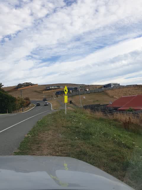
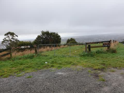
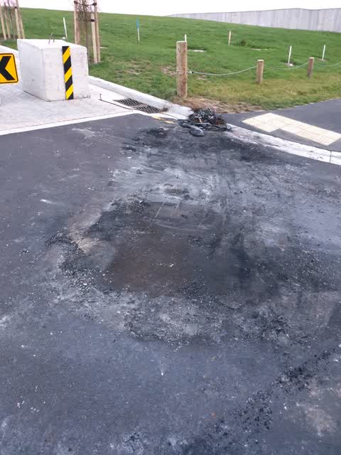
Reported here
- Traffic Signals —
There are traffic management traffic lights at the roadworks on Worsleys Road. the road works are approx 300 metres long. The traffic ligh
 Overgrown Vegetation —
 Can this area be put on a reoccurring schedule for mowing. It's a fire hazard waiting to happen.
- Pothole —
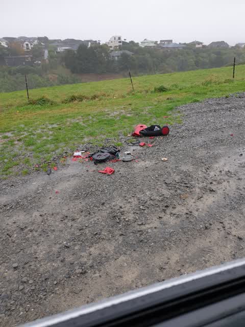
- Dumped Rubbish —
- Poles and Signage - General —
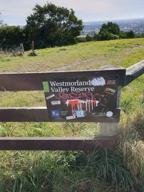
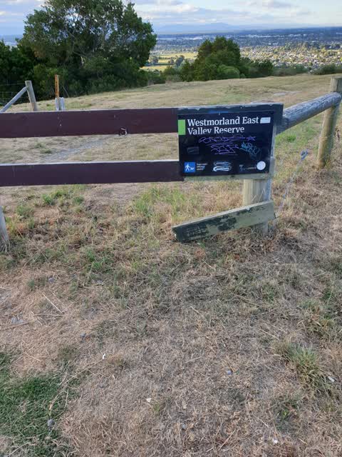
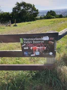 Graffiti —
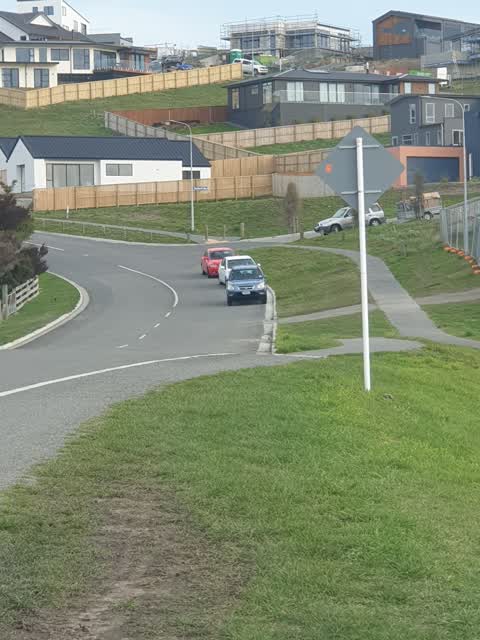
 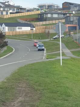 Roading/Streets —
 Cars parked here narrow road to 1 lane. Hump in road dangerous when heading down Worsleys Rd as you are forced onto the wrong side of the ro
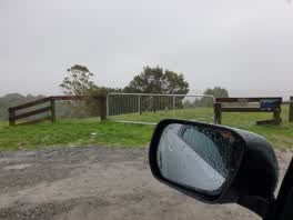 Graffiti —
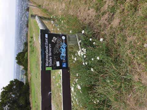
 vandalism and tagging
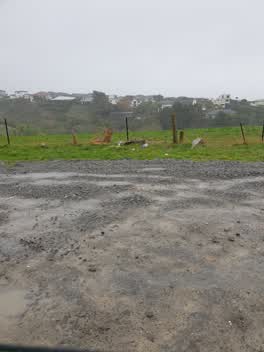 Roading/Streets —
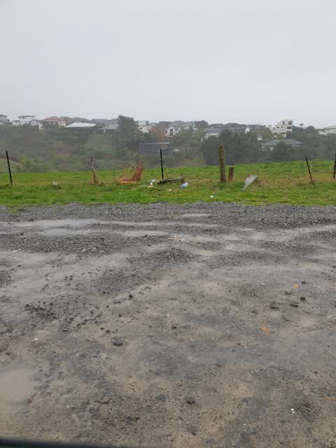
 rubbish dumped
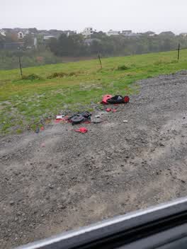 Roading/Streets —
 rubbish dumped
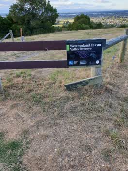 Graffiti —
 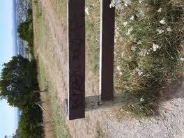 Graffiti —
 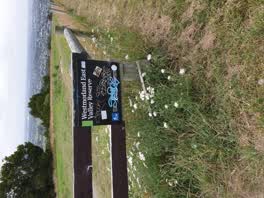 Graffiti —
 Roading/Streets —
sign been turned on wrong direction
Graffiti —
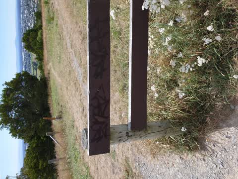
tagging all over fence rails
Roading/Streets —
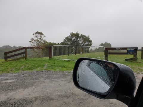
boagans burnt a car at this location. now a big mess to clean up please
Also reported on Worsleys Road
- 313 Worsleys Road — 32 reports
- 14B Worsleys Road — 16 reports
- 347 Worsleys Road — 15 reports
- 7B Worsleys Road — 11 reports
- 317 Worsleys Road — 11 reports
- 311 Worsleys Road — 11 reports
- 48 Worsleys Road — 10 reports
- 349A Worsleys Road — 8 reports
The street’s crash record
NZTA’s record names Worsleys Road in 5 crashes that hurt somebody since 2006 — 0 seriously hurt, nobody killed.
The green nearby
- Westmorland East Valley Reserve — 55 m to the edge · 12 ha
Parks within half a kilometre, measured to the boundary — the council’s open data.
The bus nearby
- Ravensdale rise near Cumbria Lane — 245 m away · route 44
- Ravensdale Rise at Ravensdale Park — 375 m away · route 44
The closest Metro stops, within four hundred and fifty metres.
The tracks through here
- Walk and bike track through Cracroft — 5 m to the line · walk · bike
Tracks whose line passes within half a kilometre, measured to the line itself — the council’s open data.
The named ground
the council’s own structure register — bridges, boardwalks and steps standing nearby — the open map’s record.
Renting nearby
new bonds in Cracroft ran about $713 a week — $163 above the city median of $550 — the suburb page keeps the rent record →.
The civic layer
This ground votes in Cashmere ward — the Spreydon-Cashmere-Heathcote community board. Ward lines don’t always follow suburb lines; this one is measured at the pin, not the suburb’s centre.
What stood on this ground → · On the map → · From the air — the Crown’s aerials back to 1936; search the address on RetroLens →
Questions, answered briefly
16 council reports on record since June 2019 — most often graffiti (6), roading/streets (5), traffic signals (1).
Cracroft, Christchurch — on Worsleys Road.
Nothing on the heritage register at this exact spot — the record around this ground →
Westmorland East Valley Reserve — 55 m to its edge, 12 ha.