83A Banks Avenue, Dallington
18 reports on record since February 2016 · 16 with photographs. The street’s heaviest record is 120 Banks Avenue — 55 reports on file. Indicative rating valuation and school zones, hazards, bin day and what stood here before.
What gets reported here
- Graffiti — 5
- Rubbish/Recycling — 2
- Roading/Streets — 2
- Pavement - General — 2
- Water Leak — 1
- Vandalism - General — 1
Photographed here 16 on record



Reported here
 Pavement - General —
 Unsafe fence. Needs raising. Nice paint job though.
 Pavement - Damaged —
 Retaining wall alongside footpath has slumped, worsening over the months and years
 Pavement - General —
 Dipped after earthquakes. Needs filling so that water drains into sump
 Park - General Request —
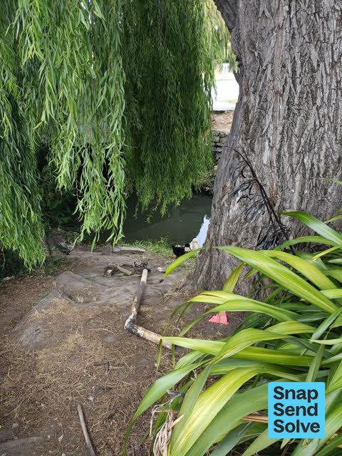
 Dudley Creek at McBratneys,Rd end near road Ober creek outlet. Large flat timber ? Pieces blocking waterway. Please add a subject for waterw
 General Request —
 Last 50m of Dudley Creek. Obstruction in the creek plus removed rubbish on the Banks Ave stream bank by River Rd
- Vandalism - General —
 Sewer - Leak / Blockage —
 Just about at cnr of banks ave and north parade..there are these two areas where it looks like nasty stuff is coming out if pipes into dudle
 Graffiti —
 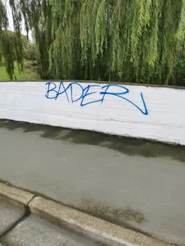 Graffiti —
 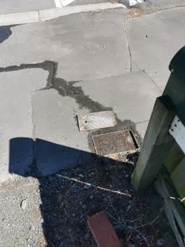 Water Leak —
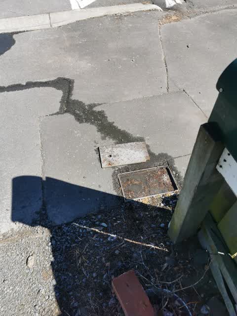
 81A Banks Avenue. Seems a little coincidental this started the day after the meter reader opened the cover
- Rubbish/Recycling —
dumped rubbish down bank of Dudley Creek oppersite 83a Banks ave
Parks —
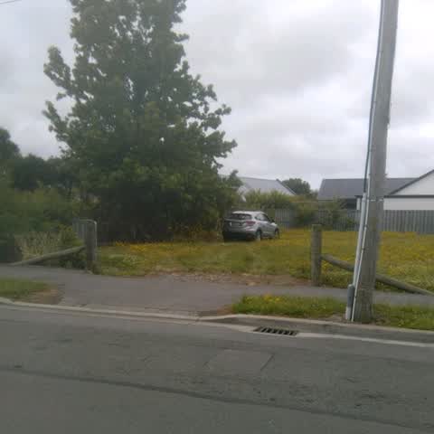
A private vehicle is parked in this section. There is nobody around the vehicle at the moment. It looks like a neighbors car and there is so
Graffiti —
Rubbish/Recycling —
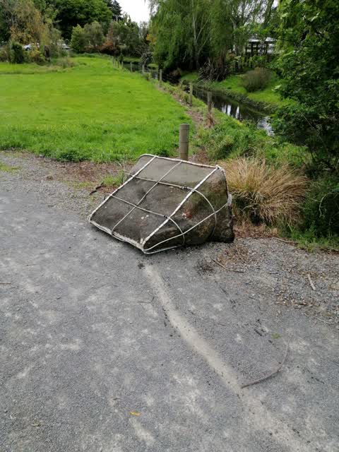
Dumped whitebate structure on roadside
Roading/Streets —
Hi doesn't look like much, but an elderly lady tripped on the flax on this footpath and injured her face and wrist. Can it pleased be trimme
Graffiti —
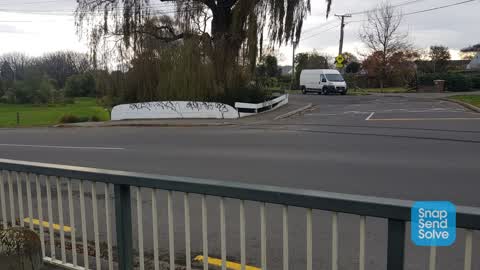
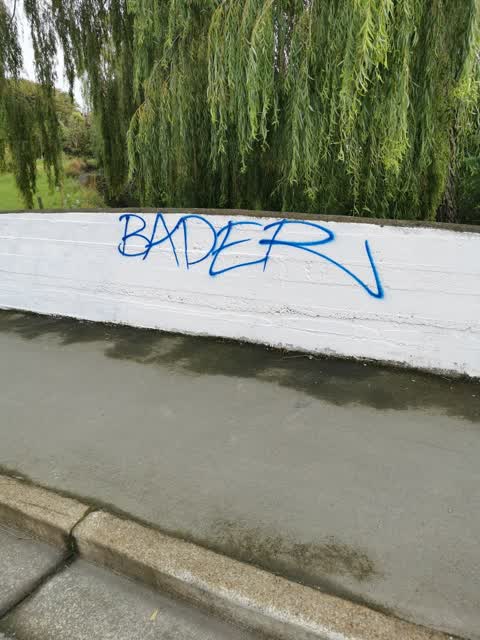
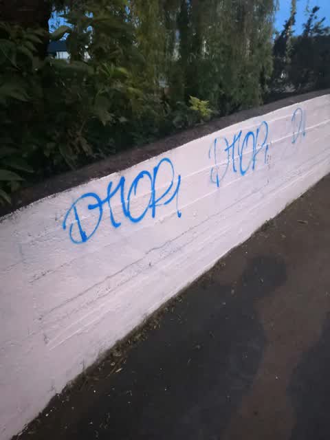
On bridge white paint required
Roading/Streets —
This traffic management sign left here blocking footpath for several weeks. It will end up dumped in the river of left much longer.
Graffiti —
Also reported on Banks Avenue
- 120 Banks Avenue — 55 reports
- 96 Banks Avenue — 47 reports
- 100 Banks Avenue — 47 reports
- 104 Banks Avenue — 46 reports
- 87 Banks Avenue — 37 reports
- 77 Banks Avenue — 36 reports
- 81 Banks Avenue — 23 reports
- 79 Banks Avenue — 22 reports
The street’s crash record
NZTA’s record names Banks Avenue in 5 crashes that hurt somebody since 2006 — 0 seriously hurt, nobody killed.
The green nearby
- Avon Riverbank True Right — 70 m to the edge · 11 ha
- Sullivan Park — 177 m to the edge · 1 ha
- Richmond Park — 303 m to the edge · Sports ground · 4 ha
Parks within half a kilometre, measured to the boundary — the council’s open data.
On the doorstep
- Gayhurst Dairy — 385 m away · Dairies & convenience
- Window of Opportunity — 385 m away · Op shops
- Gayhurst Fish Supply — 387 m away · Fast food
- WG Brothers Barber — 393 m away · Hairdressers
Businesses within four hundred metres, measured at the pin — OpenStreetMap and the council directories.
The bus nearby
- Dallington — 380 m away · route 44
The closest Metro stops, within four hundred and fifty metres.
The tracks through here
- Walk and bike track through Dallington — 22 m to the line · walk · bike
- Walk and bike track through Dallington — 93 m to the line · walk · bike
Tracks whose line passes within half a kilometre, measured to the line itself — the council’s open data.
The named ground
Named water within 500 m of this address, measured to the line or the edge — the open map’s record.
Renting nearby
new bonds in Dallington ran about $520 a week — $30 below the city median of $550 — the suburb page keeps the rent record →.
The civic layer
This ground votes in Burwood ward — the Coastal-Burwood-Linwood community board. Ward lines don’t always follow suburb lines; this one is measured at the pin, not the suburb’s centre.
What stood on this ground → · On the map → · From the air — the Crown’s aerials back to 1936; search the address on RetroLens →
Questions, answered briefly
18 council reports on record since February 2016 — most often graffiti (5), rubbish/recycling (2), roading/streets (2).
Dallington, Christchurch — on Banks Avenue.
Nothing on the heritage register at this exact spot — the record around this ground →
Avon Riverbank True Right — 70 m to its edge, 11 ha.