125 Packe Street, Edgeware
14 reports on record since November 2016 · 14 with photographs. The most-reported address on Packe Street. Indicative rating valuation and school zones, hazards, bin day and what stood here before.
What gets reported here
Photographed here 14 on record


Reported here
 Overgrown Vegetation —
 Pine tree on the council garden, it’s been planted by the community people but it is not appropriate to be planted in council gardens
 Overgrown Vegetation —
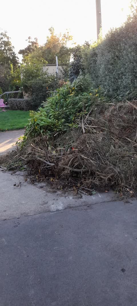
 kindly requesting green waste removel after our latest fruit tree pruning session here in Packe St Park and Community Garden (council reserv
 Dumped Rubbish —
 Old TV dumped next to shed in Packe St Park.
 Park - General Request —
 Morena lovely council, I did flag this with Jeremy a while ago, but everyone is always busy, I understand:) We had an upright bronze garden
 Graffiti on a playground or in a park —
 On chalkboard on street side of Packe St Park
 Dumped Rubbish —
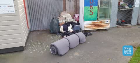
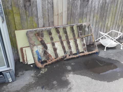
 Mattress
 Dumped Rubbish —
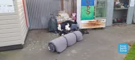
 An old mattress and a chipboard TV stand have been left on the footpath outside our community gardens.
 Parks —
 A couch and other rubbish appears to have been dumped at Packe Street Park
 Parks —
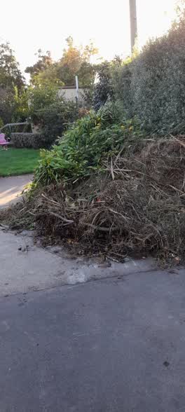
 Hi there, we have a large amount of waste from the community garden at Packe Street Park, requesting that it please be removed
 Rubbish/Recycling —
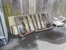
 Garbage has been dumped at Packe St park
 Parks —
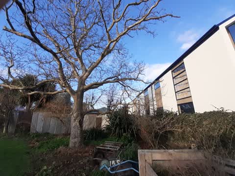
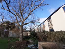
 Hi there, the walnut tree at Packe Street Park is becoming overgrown to the point of encroaching our neighbours. Could Dieter Steinegg pleas
 Rubbish/Recycling —
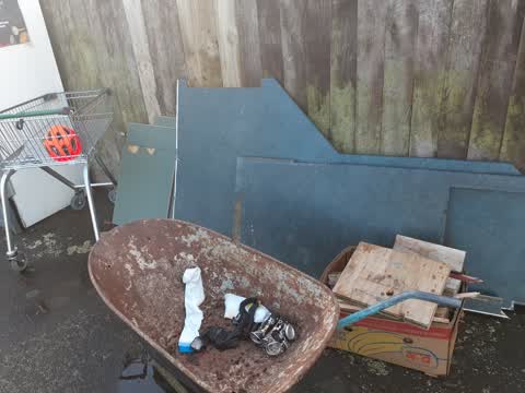
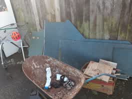
 Trash found in Packe St Community Garden, dumped over the weekend. Shopping trolley, kitchen bench and doors, box of wood offcuts.
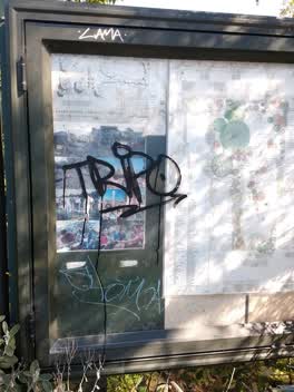 Graffiti —
 Parks —
Packe St Reserve: Please remove small pile of garden waste that the community group cannot compost by 24/11 as the community holds a Xmas BB
Also reported on Packe Street
- 25 Packe Street — 11 reports
- 79 Packe Street — 9 reports
- 129 Packe Street — 8 reports
- 22A Packe Street — 7 reports
- 131-135 Packe Street — 7 reports
- 143 Packe Street — 6 reports
- 97 Packe Street — 5 reports
- 70A Packe Street — 5 reports
The street’s crash record
NZTA’s record names Packe Street in 4 crashes that hurt somebody since 2006 — 1 seriously hurt, nobody killed.
The green nearby
- Packe Reserve — you are in it
- Champion Reserve — 354 m to the edge
- St Albans Park — 407 m to the edge · Sports ground · 6 ha
Parks within half a kilometre, measured to the boundary — the council’s open data.
On the doorstep
- Furniture Maker & Repairer — 124 m away · Furniture
- Cactus Mexican & Mediterranean Food — 127 m away · Fast food
- Super Wok — 128 m away · Fast food
- Sushi Fresh — 132 m away · Restaurants
Businesses within four hundred metres, measured at the pin — OpenStreetMap and the council directories.
The bus nearby
- Barbadoes St near Canon St — 124 m away · route 44
- Edgeware Rd near Packe St — 129 m away · route 100
The closest Metro stops, within four hundred and fifty metres.
The named ground
Named water within 500 m of this address, measured to the line or the edge — the open map’s record.
Renting nearby
new bonds in Edgeware ran about $525 a week — $25 below the city median of $550 — the suburb page keeps the rent record →.
The civic layer
This ground votes in Innes ward — the Papanui-Innes-Central community board. Ward lines don’t always follow suburb lines; this one is measured at the pin, not the suburb’s centre.
What stood on this ground → · On the map → · From the air — the Crown’s aerials back to 1936; search the address on RetroLens →
Questions, answered briefly
14 council reports on record since November 2016 — most often parks (4), dumped rubbish (3), rubbish/recycling (2).
Edgeware, Christchurch — on Packe Street.
Nothing on the heritage register at this exact spot — the record around this ground →
Packe Reserve — the address is inside it.