155 Geraldine Street, Edgeware
12 reports on record since April 2019 · 12 with photographs. The street’s heaviest record is 192 Geraldine Street — 16 reports on file. Indicative rating valuation and school zones, hazards, bin day and what stood here before.
What gets reported here
- Water Leak — 6
- Damaged Street Sign — 2
- Water Supply — 1
- Wastewater/Stormwater — 1
- Pothole — 1
- Graffiti — 1
Photographed here 12 on record


Reported here
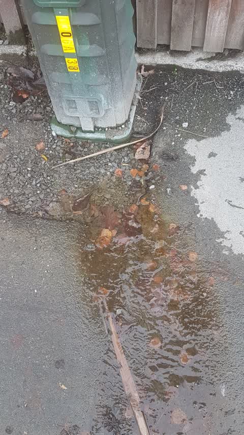
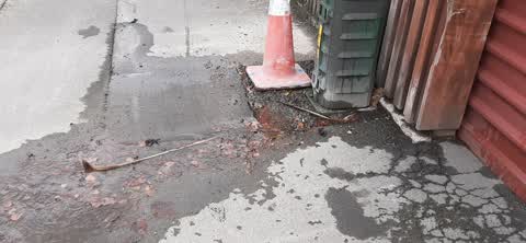
 Water Leak —
 This has been repaired at least twice, but is leaking again. Constant, and slimy across footpath
 Damaged Street Sign —
 Damaged street sign
 Water Leak —
 leak - has been like this for ages. pavement is very slippery
 Damaged Street Sign —
 Road sign about to drop
 Water Leak —
 Still leaking
 Water Leak —
 Same leak as before but much worse
 Water Leak —
 Coming out of ground
 Water Leak —
 Water leak of enough volume to be audible when it flows into the gutter.
 Pothole —
 I think there is also a water leak here
 Wastewater/Stormwater —
 very fast leak from arount a internet post.
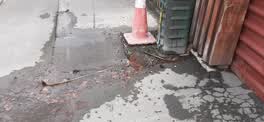 Water Supply —
 this is flowing like a small river
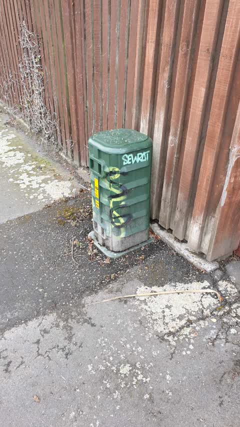
Graffiti —
Also reported on Geraldine Street
- 192 Geraldine Street — 16 reports
- 37 Geraldine Street — 15 reports
- 231 Geraldine Street — 11 reports
- 130 Geraldine Street — 11 reports
- 177 Geraldine Street — 10 reports
- 66 Geraldine Street — 9 reports
- 46E Geraldine Street — 9 reports
- 239 Geraldine Street — 9 reports
The street’s crash record
NZTA’s record names Geraldine Street in 6 crashes that hurt somebody since 2006 — 0 seriously hurt, nobody killed.
The green nearby
- Champion Reserve — 192 m to the edge
- Packe Reserve — 225 m to the edge
- St Albans Park — 286 m to the edge · Sports ground · 6 ha
Parks within half a kilometre, measured to the boundary — the council’s open data.
On the doorstep
- Harding's Jewellers — 88 m away · Jewellery
- Elsewhere Gin — 95 m away · Bottle stores
- etcetera — 96 m away · Antiques
- Georgies Wig Shop — 98 m away · Wigs
Businesses within four hundred metres, measured at the pin — OpenStreetMap and the council directories.
The bus nearby
- Barbadoes St near Edgeware Rd — 103 m away · route 44, route 100
- Barbadoes St near Edgeware Rd — 126 m away · route 44, route 100
The closest Metro stops, within four hundred and fifty metres.
The tracks through here
- Walk and bike track through Edgeware — 370 m to the line · walk · bike
Tracks whose line passes within half a kilometre, measured to the line itself — the council’s open data.
The named ground
Named water within 500 m of this address, measured to the line or the edge — the open map’s record.
Renting nearby
new bonds in Edgeware ran about $525 a week — $25 below the city median of $550 — the suburb page keeps the rent record →.
The civic layer
This ground votes in Innes ward — the Papanui-Innes-Central community board. Ward lines don’t always follow suburb lines; this one is measured at the pin, not the suburb’s centre.
What stood on this ground → · On the map → · From the air — the Crown’s aerials back to 1936; search the address on RetroLens →
Questions, answered briefly
12 council reports on record since April 2019 — most often water leak (6), damaged street sign (2), water supply (1).
Edgeware, Christchurch — on Geraldine Street.
Nothing on the heritage register at this exact spot — the record around this ground →
Champion Reserve — 192 m to its edge.