619 Madras Street, Edgeware
14 reports on record since August 2018 · 11 with photographs. The most-reported address on Madras Street. Indicative rating valuation and school zones, hazards, bin day and what stood here before.
What gets reported here
Photographed here 11 on record




Reported here
 Graffiti on a traffic light pole or cabinet, or wa —
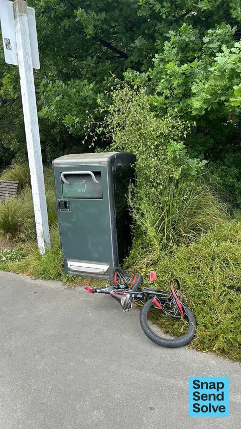
 Council bin in park
 Park - General Request —
 Shrubs need trimming as causing path to narrow and pedestrians to walk on turf damaging turf
 Dumped Rubbish —
 Two issues: 1. Dumped rubbish - please collect before other dump their rubbish. 2. Bin lid jams and needs to be fixed so opens with foot ped
 Dumped Rubbish —
 More dumped rubbish- please sort? Thanks
 Playground Equipment —
 Broken plank of wood.
 Dumped Rubbish —
 Road sign left by bin. St Albans skatepark.
- Overgrown Vegetation —
- Flooding —
- Dumped Rubbish —
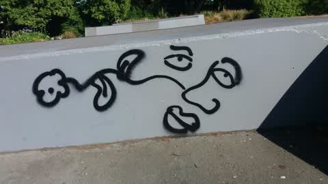
Graffiti —
Graffiti —
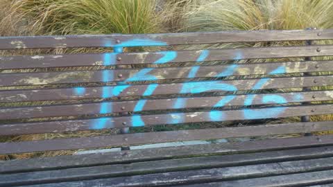
Skate ramp and park bench
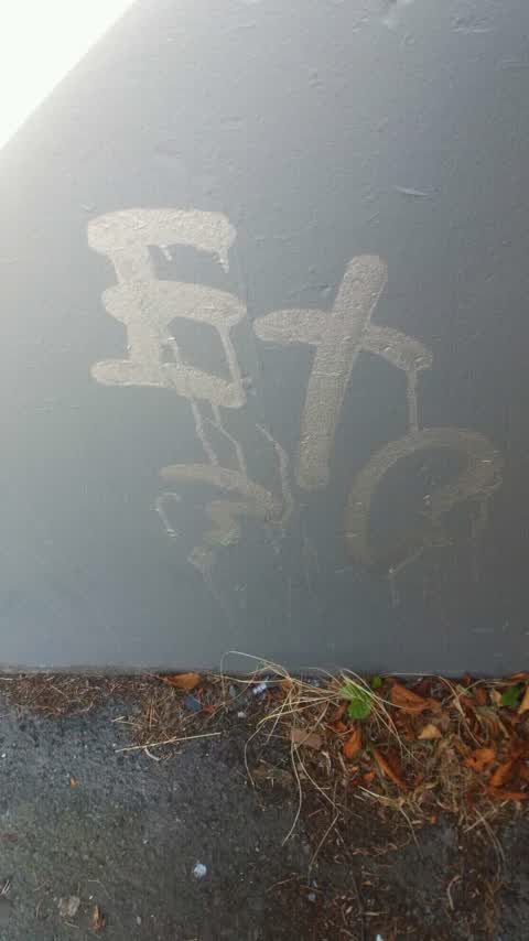
Graffiti —
Skate ramp
Graffiti —
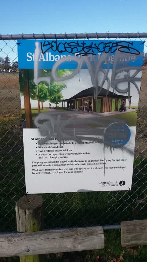
Construction sign in park
Graffiti —
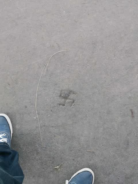
Swastika carved into the walkway of the park, right infront of the bench.
Also reported on Madras Street
- 610 Madras Street — 3 reports
- 611-619 Madras Street — 1 report
- 466 Madras Street — 1 report
The green nearby
- St Albans Park — you are in it · Sports ground · 6 ha
- Berwick Reserve — 293 m to the edge
- Packe Reserve — 453 m to the edge
- English Park — 465 m to the edge · Sports ground · 3 ha
Parks within half a kilometre, measured to the boundary — the council’s open data.
On the doorstep
- Pho Sai Thai — 268 m away · Fast food
- Ris'tretto Espresso Coffee — 322 m away · Cafés
- Mondo Black — 327 m away · Hairdressers
- Supreme Chinese Takeaway — 339 m away · Fast food
Businesses within four hundred metres, measured at the pin — OpenStreetMap and the council directories.
The bus nearby
- Barbadoes St near Edward Ave — 253 m away · route 44, route 100
- Barbadoes St near Edward Ave — 266 m away · route 44, route 100
The closest Metro stops, within four hundred and fifty metres.
The tracks through here
- Walk and bike track through Edgeware — 350 m to the line · walk · bike
- Walk and bike track through Edgeware — 437 m to the line · walk · bike
- Walk and bike track through Edgeware — 485 m to the line · walk · bike
Tracks whose line passes within half a kilometre, measured to the line itself — the council’s open data.
The named ground
Named water within 500 m of this address, measured to the line or the edge; the council’s own structure register — bridges, boardwalks and steps standing nearby — the open map’s record.
The remembered names nearby
- St Albans Park / Pavilion / 2018 — 112 m away ·
St Albans Park / Pavilion / 2018
Inscribed plaques within two hundred and fifty metres — the register’s pins, not surveyed spots. The whole roll is at /plaques.
Renting nearby
new bonds in Edgeware ran about $525 a week — $25 below the city median of $550 — the suburb page keeps the rent record →.
The civic layer
This ground votes in Innes ward — the Papanui-Innes-Central community board. Ward lines don’t always follow suburb lines; this one is measured at the pin, not the suburb’s centre.
What stood on this ground → · On the map → · From the air — the Crown’s aerials back to 1936; search the address on RetroLens →
Questions, answered briefly
14 council reports on record since August 2018 — most often graffiti (5), dumped rubbish (4), playground equipment (1).
Edgeware, Christchurch — on Madras Street.
Nothing on the heritage register at this exact spot — the record around this ground →
St Albans Park — the address is inside it, 6 ha.