18 Makora Street
8 council reports since February 2016, 8 carrying a photograph. The street’s heaviest record is 28 Makora Street, 42 reports on file.
On the register here
- St Barnabas Church and Setting (198m)
- St Barnabas Parish Hall and Setting, 8 Tui Street (231m)
From the air, then
Sourced from Canterbury Maps and partners. LINZ, CC BY 3.0 NZ. Each frame is cut from Environment Canterbury’s historic imagery MapServer for that decade, only where the Footprints layer names a CC BY survey (NZAM-covered spots stay out). RetroLens holds more Crown aerials →
The green nearby
- Fendalton Park, 24 m to the edge · Sports ground · 5 ha · playground, 42 pieces
Parks within half a kilometre, measured to the boundary, the council’s open data. The whole roll is at /parks.
On the doorstep
- Bowls Canterbury, 55 m away · Sports centres
- Fendalton Park Croquet Club, 78 m away · Sports centres
- Fendalton Bowling Club, 125 m away · Sports centres
- Saint Barnabas Church Office, 249 m away · Religion
Businesses within four hundred metres, measured at the pin, OpenStreetMap and the council directories.
The bus nearby
- Fendalton Rd near Glandovey Rd, 183 m away · route 29
- Fendalton Rd near Tui St, 187 m away · route 29
The closest Metro stops, within four hundred and fifty metres.
The tracks through here
- Walk and bike track through Fendalton, 88 m to the line · walk · bike
- Walk and bike track through Fendalton, 127 m to the line · walk · bike
- Walk and bike track through Fendalton, 158 m to the line · walk · bike
- Walk and bike track through Fendalton, 182 m to the line · walk · bike
- Walk and bike track through Fendalton, 232 m to the line · walk · bike
Tracks whose line passes within half a kilometre, the council’s open data.
The named ground
Named water within 500 m of this address, measured to the line or the edge; Named places within 1.5 km of this address; the council’s own structure register, bridges, boardwalks and steps standing nearby, the open map’s record.
The remembered names nearby
- In This Park Are Oak Trees Sourced by L. T. K. and Olive, 195 m away ·
IN THIS PARK ARE OAK TREES SOURCED BY L. T. K. AND OLIVE ALLISON WHICH ORIGINATE FROM QUER
· 2009 - Fendalton Plunket Rooms This Stone Was Laid by Mr Cecil, 231 m away ·
FENDALTON PLUNKET ROOMS THIS STONE WAS LAID BY MR CECIL WOOD 16TH MARCH 1946
· 2009
Inscribed plaques within two hundred and fifty metres, the register’s pins, not surveyed spots. The whole roll is at /plaques.
Renting nearby
new bonds in Fendalton ran about $618 a week, $68 above the city median of $550, the suburb page keeps the rent record →.
What gets reported here
- Roading/Streets, 4
- Flooding, 2
- Sewer - General, 1
- Parks, 1
Photographed here 8 on record
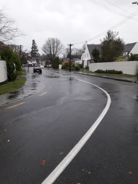
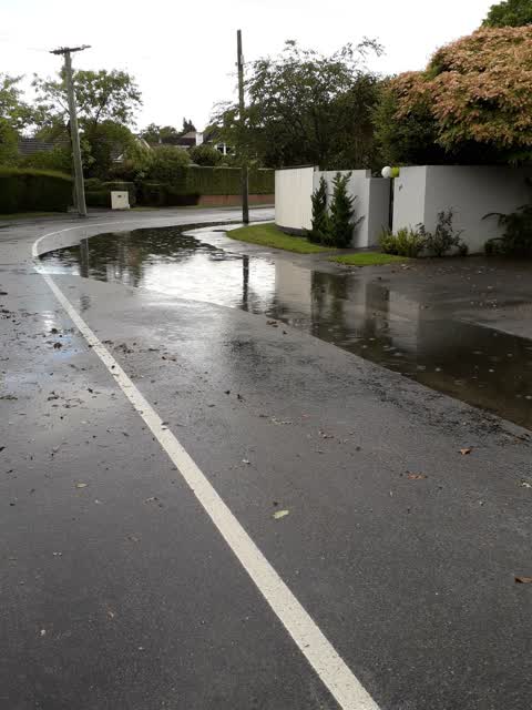
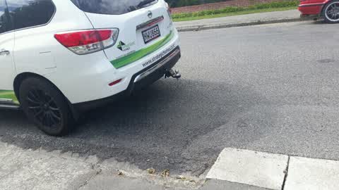
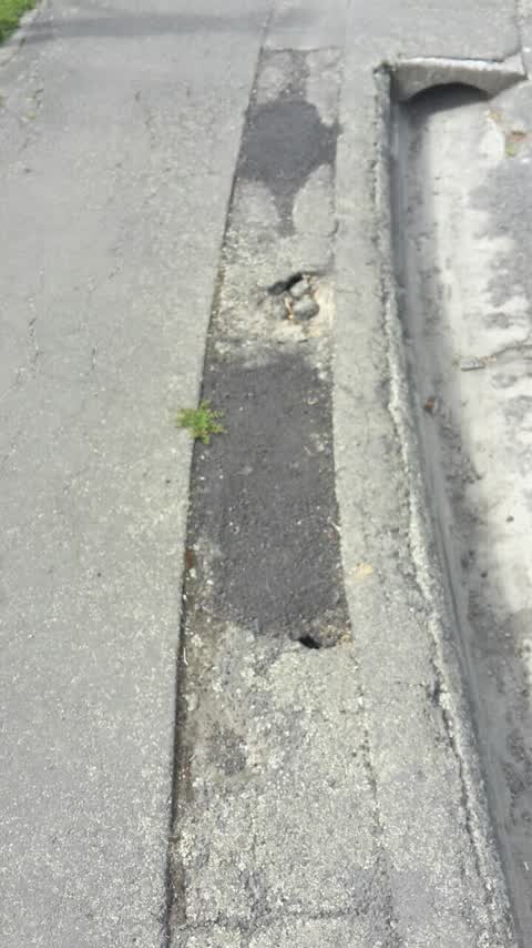
What’s on record
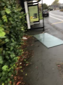 Roading/Streets, 16 May 2022
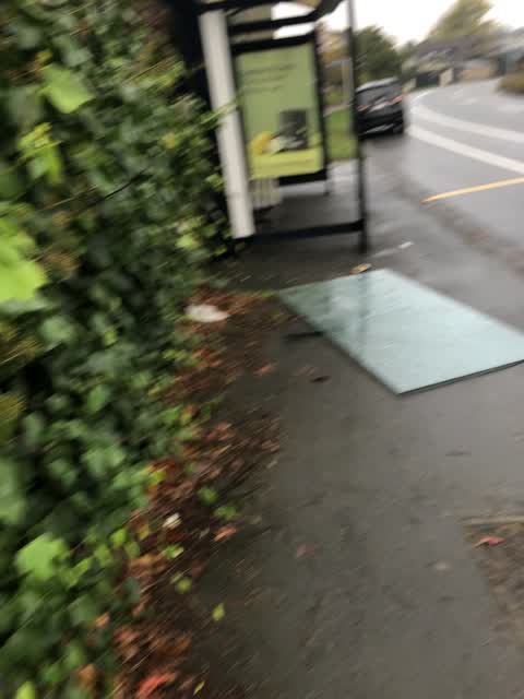
 My daughter noticed the pain of glass lying on the ground when she bicycle home today, on Fendalton Rd (Near Mona Vale) 3:50pm today
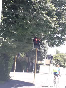 Roading/Streets, 28 Feb 2022
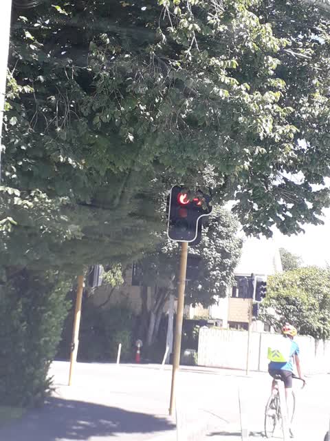
 The corner of Clyde Rd and Kotare. It is hard to see the traffic light as you approach the intersection. An accident waiting to happen.
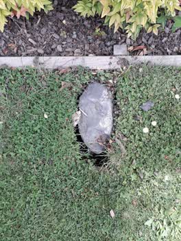 Sewer - General, 25 Nov 2021
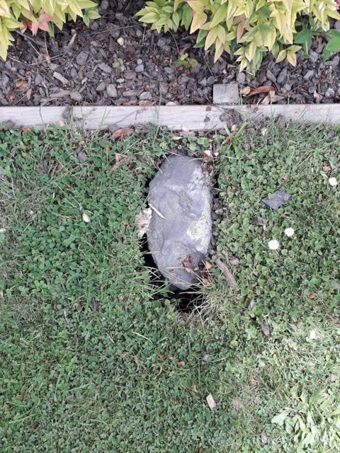
 Our neighbours water meter covers are broken.
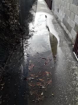 Flooding, 24 Jun 2021
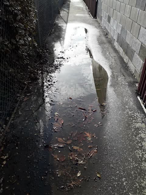
 The path is becoming difficult to use. It's been a few days since it's rained. First puddle is about 6m long and is now cracking. 2nd puddle
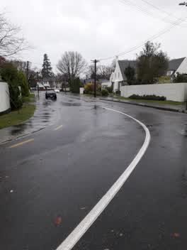 Flooding, 30 May 2021
 Hi, I have spent an hour and a half clearing our gutters. I live in a street with a high proportion of elderly people. After nearly 10 ye
Roading/Streets, 20 Nov 2019
Whenever we have heavy rain Makora St floods. Not only because of rubbish from trees but we some of the "bridges" that are blocked.
Parks, 21 Mar 2016
Roading/Streets, 8 Feb 2016
Elsewhere on Makora Street
- 28 Makora Street, 42 reports
- 30 Makora Street, 3 reports
- 24A Makora Street, 3 reports
- 20 Makora Street, 3 reports
- 8 Makora Street, 2 reports
- 7 Makora Street, 2 reports
- 36-28 Makora Street, 2 reports
- 36 Makora Street, 2 reports
The civic layer
This ground votes in Fendalton ward, the Fendalton-Waimairi-Harewood community board is its local layer. Ward lines don’t always follow suburb lines; this one is measured at the pin, not the suburb’s centre. The whole roll is at /wards.
Makora Street, the whole record → · Everything about Fendalton → · What stood on this ground → · On the map → · From the air, RetroLens holds the Crown’s aerials back to 1936; search the address there →
Questions, answered briefly
8 council reports on record since February 2016, most often roading/streets (4), flooding (2), sewer - general (1).
Fendalton, Christchurch, on Makora Street.
The heritage register names 2 places at or beside it, St Barnabas Church and Setting, St Barnabas Parish Hall and Setting.
Fendalton Park, 24 m to its edge, 5 ha.