65 Fendalton Road, Fendalton
14 reports on record since September 2015 · 10 with photographs. The street’s heaviest record is 69 Fendalton Road — 39 reports on file. Indicative rating valuation and school zones, hazards, bin day and what stood here before.
What gets reported here
Photographed here 10 on record




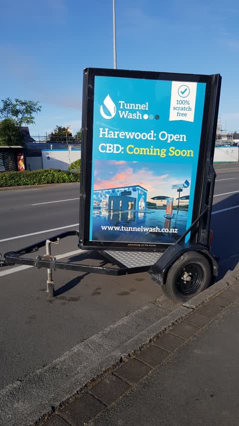
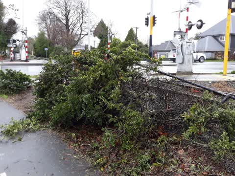
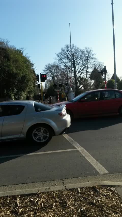
Reported here
 Traffic Signals —
 Traffic light half dead (green) on gantry
 Street Light Outage —
 Green LED unit not lit on traffic Island.
 Graffiti on a playground or in a park —
 Graffiti in Mona vale on the lamp post
 Graffiti on a playground or in a park —
  Graffiti somewhere else —
 Tagged safety sign on pedestrian crossing on train track.
- Poles and Signage - General —
Flickering green light (leftmost when heading west).
- Overgrown Vegetation —
- Graffiti —
- Graffiti —
 Roading/Streets —
 Still here. How many weeks now?
 Roading/Streets —
 Still here!
 Roading/Streets —
 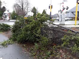 Parks —
 the process of felling of "old mature trees" and resultant debris has had an impact on the adjacent bike track, fencing and vegetation. who
Roading/Streets —
Traffic lights on fendalton rd. Wait for cycles is 1min 30s when there is traffic demand. Eg 0830am. This is toolong. People are crossing on
Also reported on Fendalton Road
- 69 Fendalton Road — 39 reports
- 185 Fendalton Road — 17 reports
- 183 Fendalton Road — 16 reports
- 33A Fendalton Road — 14 reports
- 67 Fendalton Road — 13 reports
- 173 Fendalton Road — 12 reports
- 74 Fendalton Road — 11 reports
- 167 Fendalton Road — 11 reports
The street’s crash record
NZTA’s record names Fendalton Road in 67 crashes that hurt somebody since 2006 — 2 people killed, 14 seriously hurt.
The green nearby
- Mona Vale — you are in it · Botanic · 5 ha
- Clifford Reserve — 40 m to the edge
- Daresbury Park — 197 m to the edge
- Idris Reserve — 481 m to the edge
Parks within half a kilometre, measured to the boundary — the council’s open data.
On the doorstep
- Mona Vale Homestead and Pantry — 349 m away · Cafés
- Mona Vale Homestead & Gardens Venue — 397 m away · Cafés
Businesses within four hundred metres, measured at the pin — OpenStreetMap and the council directories.
The bus nearby
- Fendalton Rd near Mona Vale Ave — 56 m away · route 29
- Fendalton Rd near Wairarapa Tce — 125 m away · route 29
The closest Metro stops, within four hundred and fifty metres.
The tracks through here
- Walk and bike track through Fendalton — 23 m to the line · walk · bike
- Walk and bike track through Fendalton — 57 m to the line · walk · bike
- Walk and bike track through Fendalton — 87 m to the line · walk · bike
- Walk and bike track through Fendalton — 163 m to the line · walk · bike
- Walk and bike track through Fendalton — 205 m to the line · walk · bike
Tracks whose line passes within half a kilometre, measured to the line itself — the council’s open data.
The named ground
Named water within 500 m of this address, measured to the line or the edge; Named places within 1.5 km of this address; the council’s own structure register — bridges, boardwalks and steps standing nearby — the open map’s record.
The remembered names nearby
- Armillary Sphere — 117 m away ·
ARMILLARY SPHERE / The metal rings represent the Equator, Tropics, Arctic and Antarctic Ci
· 2009 - The Macleod Garden / in Memory of / Alastair John Macleod — 118 m away ·
THE MACLEOD GARDEN / IN MEMORY OF / ALASTAIR JOHN MACLEOD / M. Hort Sc (Hons) / 1959 - 198
· 2009 - The Doreen Holland / Seat for Dreaming — 176 m away ·
THE DOREEN HOLLAND / SEAT FOR DREAMING
· 2009
Inscribed plaques within two hundred and fifty metres — the register’s pins, not surveyed spots. The whole roll is at /plaques.
Renting nearby
new bonds in Fendalton ran about $618 a week — $68 above the city median of $550 — the suburb page keeps the rent record →.
What was here — Mona Vale Gatehouse and Setting
14 m away · 65 Fendalton Road · located to ±12 m · the place’s own record →
On the register. Nothing researched here yet.
What was here — Dwelling and Setting
208 m away · 5 Jacksons Road · located to ±15 m · the place’s own record →
On the register. Nothing researched here yet.
The civic layer
This ground votes in Fendalton ward — the Fendalton-Waimairi-Harewood community board. Ward lines don’t always follow suburb lines; this one is measured at the pin, not the suburb’s centre.
What stood on this ground → · On the map → · From the air — the Crown’s aerials back to 1936; search the address on RetroLens →
Questions, answered briefly
14 council reports on record since September 2015 — most often roading/streets (4), graffiti on a playground or in a park (2), graffiti (2).
Fendalton, Christchurch — on Fendalton Road.
The heritage register names 2 places at or beside it — Mona Vale Gatehouse and Setting, Dwelling and Setting.
Mona Vale — the address is inside it, 5 ha.