1 Nicholls Road, Halswell
19 reports on record since December 2015 · 12 with photographs. The street’s heaviest record is 2 Nicholls Road — 21 reports on file. Indicative rating valuation and school zones, hazards, bin day and what stood here before.
What gets reported here
Photographed here 12 on record


Reported here
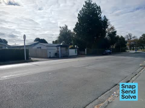
 Accessibility —
 we need a safe crossing provision for bus users to cros Nicholls street to access the supermarket and shops. central refuge Island is insuff
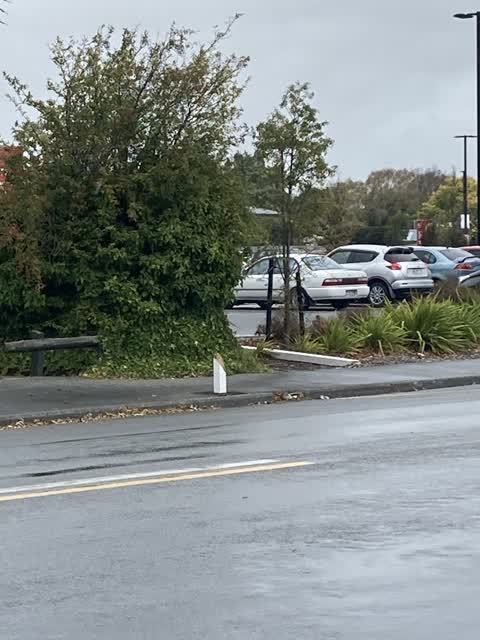
 Dumped Rubbish —
 On the 14/04/2026 at 9:28am I observed a man dump a vehicle tyre next to the clothing bin located in the New World Halswell Car Park. Vehicl
 Roads - General —
 The space between the pub driveway and the bus stop, South side on Nicholls Road - this small 5m length should be painted with broken yellow
 Graffiti on a bus stop or public toilet —
 On bus shelter
 Graffiti —
 Large cabinet outside xraytornes has graffiti
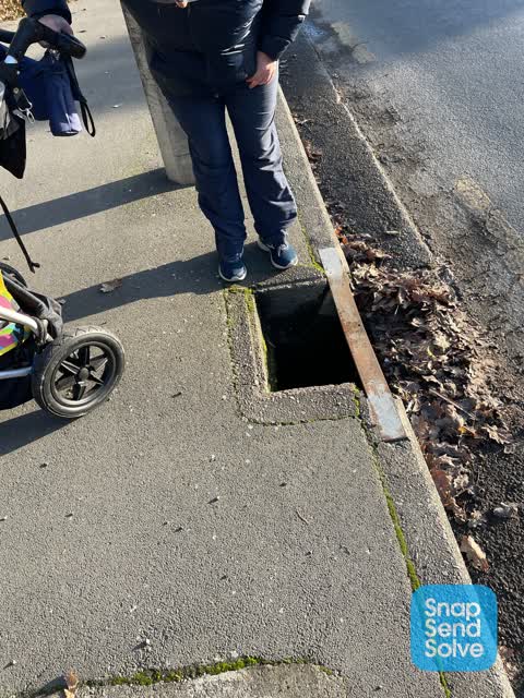
 Pavement - General —
 Iron grate has collapsed in and is a trip hazard. ?
- Graffiti —
- Graffiti —
- Graffiti —
- Graffiti —
- Graffiti —
- Graffiti —
- Graffiti —
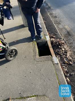 Wastewater/Stormwater —
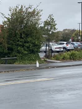
 Stormwater drain grate missing - drain 1m deep, this is in a footpath so needs fixed ASAP
 Roading/Streets —
 Speed sign broken off
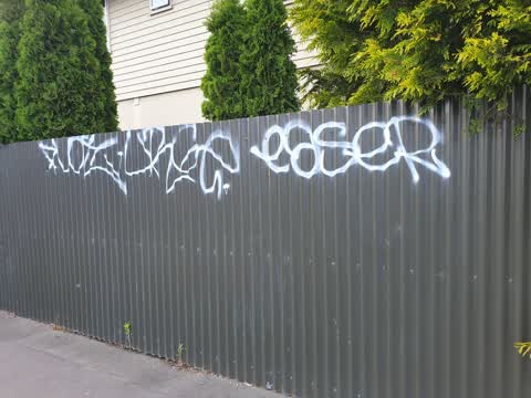
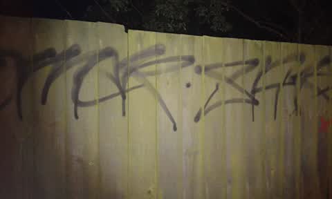
Graffiti —
Fence. Colour for removal = green
Graffiti —
Fench. Colour for removal = brown
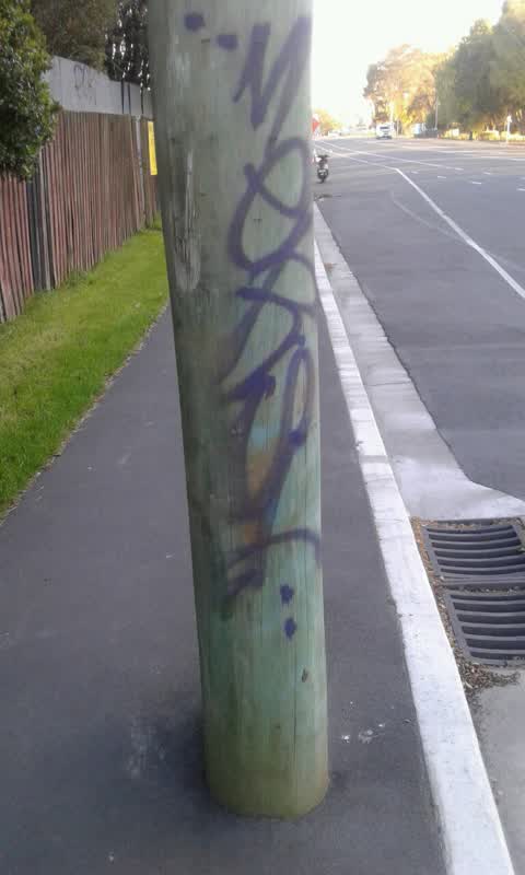
Graffiti —
Wooden power pile. Colour for removal = green
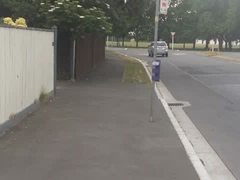
Roading/Streets —
Needs to be a Seat at this bus stop for the elderly
Also reported on Nicholls Road
- 2 Nicholls Road — 21 reports
- 17A Nicholls Road — 13 reports
- 9 Nicholls Road — 9 reports
- 28 Nicholls Road — 9 reports
- 44 Nicholls Road — 8 reports
- 33 Nicholls Road — 8 reports
- 8 Nicholls Road — 6 reports
- 25 Nicholls Road — 6 reports
The street’s crash record
NZTA’s record names Nicholls Road in 24 crashes that hurt somebody since 2006 — 1 person killed, 6 seriously hurt.
The green nearby
- Halswell Domain — 84 m to the edge · Sports ground · 26 ha
- Rearsby Reserve — 225 m to the edge
- Fern Reserve — 273 m to the edge
- Kinrara Reserve — 339 m to the edge
- Shamrock Reserve — 417 m to the edge
Parks within half a kilometre, measured to the boundary — the council’s open data.
The civic shelf nearby
- Halswell — 285 m away · Recreation centre · 339 Halswell Road
- Te Hāpua: Halswell Centre — 316 m away · Library · 341 Halswell Road, Halswell 8025
Libraries, halls and the rest within half a kilometre — the council’s open data.
On the doorstep
- Halswell Tavern — 41 m away · Venues & events
- The Halswell — 45 m away · Bars & pubs
- Craythornes Public House — 49 m away · Restaurants
- Super Liquor — 59 m away · Bottle stores
Businesses within four hundred metres, measured at the pin — OpenStreetMap and the council directories.
The bus nearby
The closest Metro stops, within four hundred and fifty metres.
The tracks through here
- Walk and bike track through Halswell — 67 m to the line · walk · bike
Tracks whose line passes within half a kilometre, measured to the line itself — the council’s open data.
The named ground
Named water within 500 m of this address, measured to the line or the edge; the council’s own structure register — bridges, boardwalks and steps standing nearby — the open map’s record.
The remembered names nearby
- This Tree Was Part of 'Coronation Avenue' Sponsored — 114 m away ·
THIS TREE WAS PART OF 'CORONATION AVENUE' SPONSORED BY THE GOVERNMENT OF THE DAY AND PUBLI
· 2008 - This Tree Was Part of ‘coronation Avenue’ Sponsored — 123 m away ·
THIS TREE WAS PART OF ‘CORONATION AVENUE’ SPONSORED BY THE GOVERNMENT OF THE DAY AND PUBLI
· 2008 - Edward Paterson Esq. Chairman 1909 — 199 m away ·
EDWARD PATERSON ESQ. CHAIRMAN 1909 — 19— (weathered)
· 2008
Inscribed plaques within two hundred and fifty metres — the register’s pins, not surveyed spots. The whole roll is at /plaques.
Renting nearby
new bonds in Halswell ran about $697 a week — $147 above the city median of $550 — the suburb page keeps the rent record →.
What was here — St Mary's Church and Setting
118 m away · located to ±14 m · the place’s own record →
On the register. Nothing researched here yet.
What was here — St Mary's Church Lychgate and Setting
183 m away · located to ±3 m · the place’s own record →
On the register. Nothing researched here yet.
What was here — Halswell War Memorial and Setting
221 m away · located to ±3 m · the place’s own record →
On the register. Nothing researched here yet.
What was here — St Mary's Church Graveyard
228 m away · located to ±73 m · the place’s own record →
On the register. Nothing researched here yet.
The civic layer
This ground votes in Halswell ward — the Halswell-Hornby-Riccarton community board. Ward lines don’t always follow suburb lines; this one is measured at the pin, not the suburb’s centre.
What stood on this ground → · On the map → · From the air — the Crown’s aerials back to 1936; search the address on RetroLens →
Questions, answered briefly
19 council reports on record since December 2015 — most often graffiti (11), roading/streets (2), wastewater/stormwater (1).
Halswell, Christchurch — on Nicholls Road.
The heritage register names 4 places at or beside it — St Mary's Church and Setting, St Mary's Church Lychgate and Setting.
Halswell Domain — 84 m to its edge, 26 ha.