2 Nicholls Road, Halswell
21 reports on record since July 2016 · 17 with photographs. The most-reported address on Nicholls Road. Indicative rating valuation and school zones, hazards, bin day and what stood here before.
What gets reported here
- Graffiti — 13
- Graffiti on a bus stop or public toilet — 3
- Water Leak — 1
- Vandalism - General — 1
- Road Signage — 1
- Pothole — 1
Photographed here 17 on record


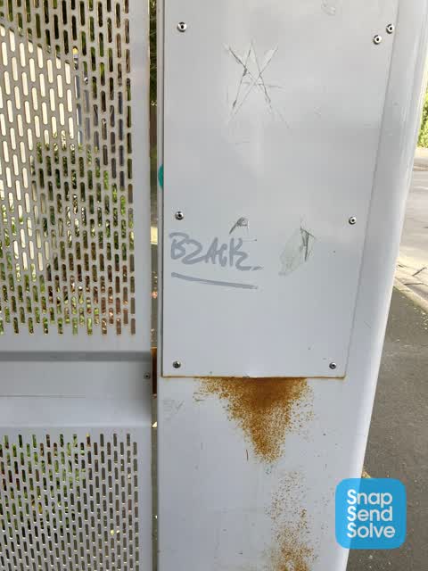
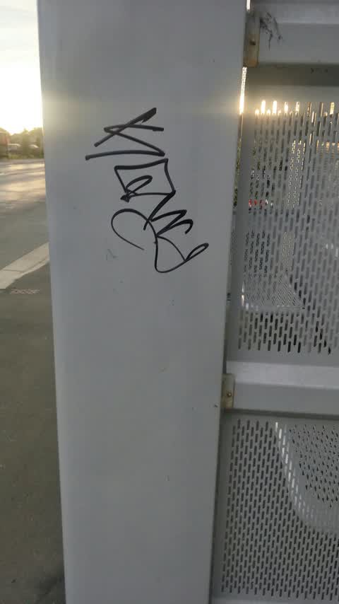
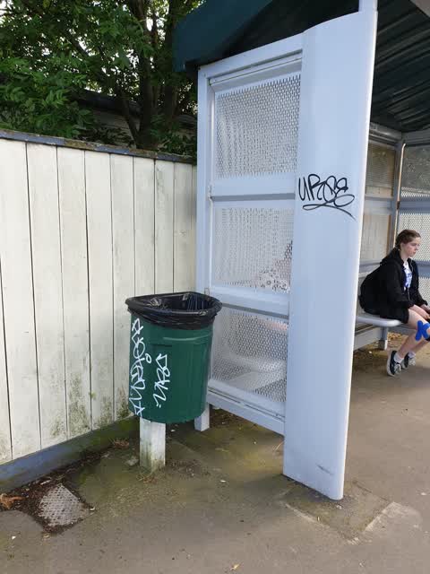
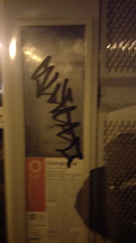
Reported here
 Road Signage —
 Bus stop 33820 should probably be marked as people park close to the driveways. Hard for buses to turn in, I’d imagine.
 Graffiti on a bus stop or public toilet —
 This bus stop has been graffiti and it wasn’t like that before I saw it today when I was at the bus stop. It is in between four and two Nich
 Graffiti on a bus stop or public toilet —
 2 Nicholls Rd - inside of shelter at bus stop 33820 is tagged
 Pothole —
 large pothole
 Damaged Road —
 Road has sunk around 5-10 cm where it meets the drain at bus stop 33820.
 Graffiti on a bus stop or public toilet —
 In bus shelter opposite The Halswell pub
 Vandalism - General —
 The bus street sign has been damaged by somebody making the times unreadable.
 Graffiti —
 Graffiti is over bus timetable making it difficult to read
- Graffiti —
- Graffiti —
- Water Leak —
- Graffiti —
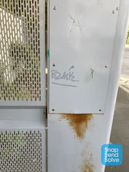 Graffiti —
 On bus shelter
Graffiti —
Graffiti —
Bus stop no. 33820. Colour for removal = grey
Graffiti —
Graffiti —
Graffiti —
Bus stop 33820
Graffiti —
Bus stop 33820
Graffiti —
Bus stop no 33820
Graffiti —
Orion cabinet. Colour for removal = green
Also reported on Nicholls Road
- 1 Nicholls Road — 19 reports
- 17A Nicholls Road — 13 reports
- 9 Nicholls Road — 9 reports
- 28 Nicholls Road — 9 reports
- 44 Nicholls Road — 8 reports
- 33 Nicholls Road — 8 reports
- 8 Nicholls Road — 6 reports
- 25 Nicholls Road — 6 reports
The street’s crash record
NZTA’s record names Nicholls Road in 24 crashes that hurt somebody since 2006 — 1 person killed, 6 seriously hurt.
The green nearby
- Halswell Domain — 84 m to the edge · Sports ground · 26 ha
- Rearsby Reserve — 243 m to the edge
- Fern Reserve — 248 m to the edge
- Kinrara Reserve — 365 m to the edge
- Shamrock Reserve — 413 m to the edge
Parks within half a kilometre, measured to the boundary — the council’s open data.
The civic shelf nearby
- Halswell — 305 m away · Recreation centre · 339 Halswell Road
- Te Hāpua: Halswell Centre — 338 m away · Library · 341 Halswell Road, Halswell 8025
Libraries, halls and the rest within half a kilometre — the council’s open data.
On the doorstep
- Halswell Tavern — 58 m away · Venues & events
- The Halswell — 61 m away · Bars & pubs
- Craythornes Public House — 68 m away · Restaurants
- Super Liquor — 79 m away · Bottle stores
Businesses within four hundred metres, measured at the pin — OpenStreetMap and the council directories.
The bus nearby
The closest Metro stops, within four hundred and fifty metres.
The tracks through here
- Walk and bike track through Halswell — 69 m to the line · walk · bike
Tracks whose line passes within half a kilometre, measured to the line itself — the council’s open data.
The named ground
Named water within 500 m of this address, measured to the line or the edge; the council’s own structure register — bridges, boardwalks and steps standing nearby — the open map’s record.
The remembered names nearby
- This Tree Was Part of 'Coronation Avenue' Sponsored — 107 m away ·
THIS TREE WAS PART OF 'CORONATION AVENUE' SPONSORED BY THE GOVERNMENT OF THE DAY AND PUBLI
· 2008 - This Tree Was Part of ‘coronation Avenue’ Sponsored — 115 m away ·
THIS TREE WAS PART OF ‘CORONATION AVENUE’ SPONSORED BY THE GOVERNMENT OF THE DAY AND PUBLI
· 2008 - Edward Paterson Esq. Chairman 1909 — 201 m away ·
EDWARD PATERSON ESQ. CHAIRMAN 1909 — 19— (weathered)
· 2008
Inscribed plaques within two hundred and fifty metres — the register’s pins, not surveyed spots. The whole roll is at /plaques.
Renting nearby
new bonds in Halswell ran about $697 a week — $147 above the city median of $550 — the suburb page keeps the rent record →.
What was here — St Mary's Church and Setting
126 m away · located to ±14 m · the place’s own record →
On the register. Nothing researched here yet.
What was here — St Mary's Church Lychgate and Setting
189 m away · located to ±3 m · the place’s own record →
On the register. Nothing researched here yet.
What was here — Halswell War Memorial and Setting
205 m away · located to ±3 m · the place’s own record →
On the register. Nothing researched here yet.
What was here — St Mary's Church Graveyard
237 m away · located to ±73 m · the place’s own record →
On the register. Nothing researched here yet.
The civic layer
This ground votes in Halswell ward — the Halswell-Hornby-Riccarton community board. Ward lines don’t always follow suburb lines; this one is measured at the pin, not the suburb’s centre.
What stood on this ground → · On the map → · From the air — the Crown’s aerials back to 1936; search the address on RetroLens →
Questions, answered briefly
21 council reports on record since July 2016 — most often graffiti (13), graffiti on a bus stop or public toilet (3), water leak (1).
Halswell, Christchurch — on Nicholls Road.
The heritage register names 4 places at or beside it — St Mary's Church and Setting, St Mary's Church Lychgate and Setting.
Halswell Domain — 84 m to its edge, 26 ha.