466 Marshs Road, Halswell
14 reports on record since April 2021 · 8 with photographs. The street’s heaviest record is 443 Marshs Road — 19 reports on file. Indicative rating valuation and school zones, hazards, bin day and what stood here before.
What gets reported here
- Dumped Rubbish — 7
- Rubbish/Recycling — 2
- Street Gutters / Storm Water — 1
- Graffiti — 1
- Flooding — 1
- Damaged Street Sign — 1
Photographed here 8 on record


Reported here
 Dumped Rubbish —
 Dumped rubbish and overgrown vegetation
- Dumped Rubbish —
Dumped rubbish on side of the road
- Flooding —
Major flooding across road and grass verge
 Dumped Rubbish —
 As per photos
 Dumped Rubbish —
 There are two dumped furniture items. One on this straight and another around the corner towards Springs Road. Both report via snap send sol
 Street Gutters / Storm Water —
 Your roundup has kill vegetation on the side of drain. Drain now needs to be cleaned out before next heavy rain. Approximately 150 metres ne
 Dumped Rubbish —
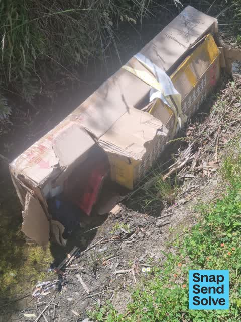
 Cardboard box and bits and pieces
 Dumped Rubbish —
 A box was dumped with what appears to be car parts. It's been pulled out of the ditch now
- Graffiti —
- Damaged Street Sign —
- Dumped Rubbish —
- Abandoned Vehicle —
Rubbish/Recycling —
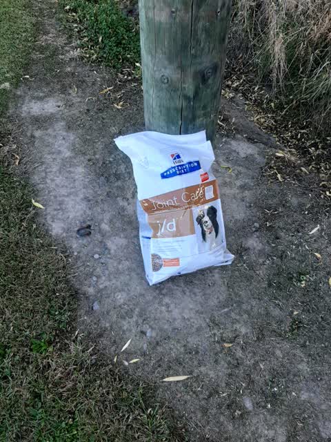
dumped in road side drain. Against power pole near 456 Marshs Road Halswell
Rubbish/Recycling —
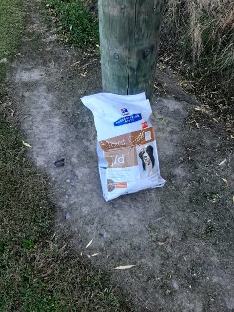
dumped in road side drain. Against power pole near 456 Marshs Road Halswell
Also reported on Marshs Road
- 443 Marshs Road — 19 reports
- 566 Marshs Road — 7 reports
- 427 Marshs Road — 7 reports
- 350A Marshs Road — 7 reports
- 487 Marshs Road — 6 reports
- 403 Marshs Road — 4 reports
- 446 Marshs Road — 3 reports
- 435 Marshs Road — 3 reports
The street’s crash record
NZTA’s record names Marshs Road in 24 crashes that hurt somebody since 2006 — 1 person killed, 4 seriously hurt.
The green nearby
- Knights Waterway Reserve — 259 m to the edge · 5 ha
Parks within half a kilometre, measured to the boundary — the council’s open data.
On the doorstep
- Test Lab Brewery — 314 m away · Bottle stores
Businesses within four hundred metres, measured at the pin — OpenStreetMap and the council directories.
The named ground
Named water within 500 m of this address, measured to the line or the edge — the open map’s record.
Renting nearby
new bonds in Halswell ran about $697 a week — $147 above the city median of $550 — the suburb page keeps the rent record →.
The civic layer
This ground votes in Halswell ward — the Halswell-Hornby-Riccarton community board. Ward lines don’t always follow suburb lines; this one is measured at the pin, not the suburb’s centre.
What stood on this ground → · On the map → · From the air — the Crown’s aerials back to 1936; search the address on RetroLens →
Questions, answered briefly
14 council reports on record since April 2021 — most often dumped rubbish (7), rubbish/recycling (2), street gutters / storm water (1).
Halswell, Christchurch — on Marshs Road.
Nothing on the heritage register at this exact spot — the record around this ground →
Knights Waterway Reserve — 259 m to its edge, 5 ha.