5 John Paterson Drive, Halswell
36 reports on record since November 2021 · 13 with photographs. The most-reported address on John Paterson Drive. Indicative rating valuation and school zones, hazards, bin day and what stood here before.
What gets reported here
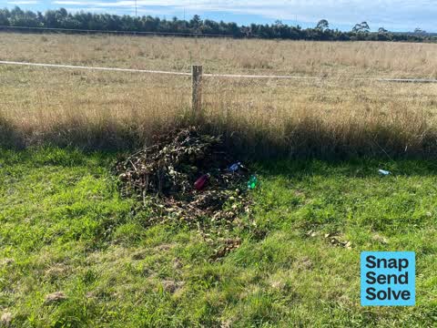
- Dumped Rubbish — 15
- Overgrown Vegetation — 9
- Roading/Streets — 4
- Litter — 2
- Damaged Street Sign — 2
- Abandoned Vehicle — 2
Photographed here 13 on record




Reported here
 Dumped Rubbish —
 Dumped baleage??
 Dumped Rubbish —
 Rubbish behind metre box
 Abandoned Vehicle —
 Abandoned car
 Dumped Rubbish —
 Dumped NOS containers by the side of the street.
 Animal - General —
 Cows on road. This is happening every day
 Dumped Rubbish —
 Rubbish dumped on grass
 Dumped Rubbish —
 Dumped rubbish and green waste
 Dumped Rubbish —
 - Pavement - Damaged —
- Overgrown Vegetation —
- Overgrown Vegetation —
- Dumped Rubbish —
- Dumped Rubbish —
- Dumped Rubbish —
- Dumped Rubbish —
- Dumped Rubbish —
- Overgrown Vegetation —
- Damaged Street Sign —
- Dumped Rubbish —
- Overgrown Vegetation —
- Overgrown Vegetation —
- Overgrown Vegetation —
- Overgrown Vegetation —
- Dumped Rubbish —
- Litter —
- Damaged Street Sign —
- Litter —
- Overgrown Vegetation —
- Overgrown Vegetation —
- Dumped Rubbish —
- Dumped Rubbish —
 Abandoned Vehicle —
 This car has been in the same spot for over a week We walk this path 3 to 4 tines a day And thus car has not moves or belong to any of our
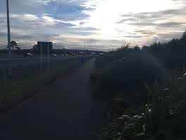 Roading/Streets —
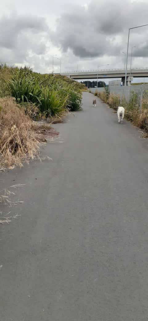
 Trim this vegetation
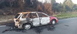 Roading/Streets —
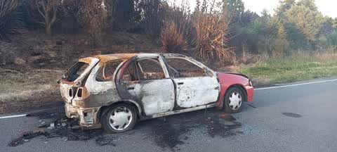
 Burnt car on street, has been there for some weeks
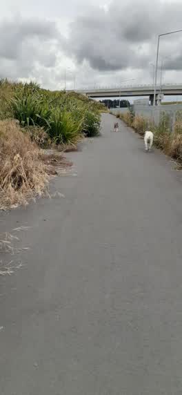 Roading/Streets —
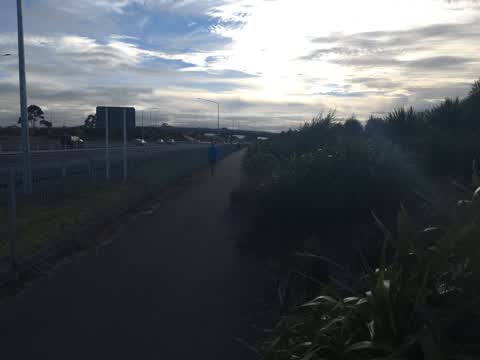
 Overgrown plants on cycleway/walkway hindering cyclists and getting caught in their wheels etc
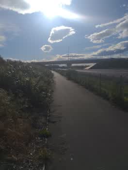 Roading/Streets —
 Overgrown vegetation along cycleway
Also reported on John Paterson Drive
- 6 John Paterson Drive — 25 reports
- 19 John Paterson Drive — 8 reports
- 26R John Paterson Drive — 7 reports
- 14 John Paterson Drive — 6 reports
- 50R John Paterson Drive — 5 reports
- 9 John Paterson Drive — 4 reports
- 17 John Paterson Drive — 4 reports
- 60b John Paterson Drive — 3 reports
The street’s crash record
NZTA’s record names John Paterson Drive in 1 crash that hurt somebody since 2006 — 0 seriously hurt, nobody killed.
The green nearby
- Springs Halswell Reserve — 389 m to the edge · 4 ha
Parks within half a kilometre, measured to the boundary — the council’s open data.
On the doorstep
- Horror Maze — 202 m away · Attractions
- Tasman Fuels — 266 m away · Petrol stations
Businesses within four hundred metres, measured at the pin — OpenStreetMap and the council directories.
The tracks through here
- Walk and bike track through Halswell — 73 m to the line · walk · bike
- Walk and bike track through Halswell — 322 m to the line · walk · bike
Tracks whose line passes within half a kilometre, measured to the line itself — the council’s open data.
Renting nearby
new bonds in Halswell ran about $697 a week — $147 above the city median of $550 — the suburb page keeps the rent record →.
The civic layer
This ground votes in Halswell ward — the Halswell-Hornby-Riccarton community board. Ward lines don’t always follow suburb lines; this one is measured at the pin, not the suburb’s centre.
What stood on this ground → · On the map → · From the air — the Crown’s aerials back to 1936; search the address on RetroLens →
Questions, answered briefly
36 council reports on record since November 2021 — most often dumped rubbish (15), overgrown vegetation (9), roading/streets (4).
Halswell, Christchurch — on John Paterson Drive.
Nothing on the heritage register at this exact spot — the record around this ground →
Springs Halswell Reserve — 389 m to its edge, 4 ha.