800 Harewood Road
8 council reports since September 2019, 4 carrying a photograph. The street’s heaviest record is 801 Harewood Road, 16 reports on file.
On the register here
- St James' Church Graveyard (146m)
- St James' Church and Setting, 750 Harewood Road (181m)
- St James' Church Lychgate and Setting, 750 Harewood Road (181m)
From the air, then
Sourced from Canterbury Maps and partners. LINZ, CC BY 3.0 NZ. Each frame is cut from Environment Canterbury’s historic imagery MapServer for that decade, only where the Footprints layer names a CC BY survey (NZAM-covered spots stay out). RetroLens holds more Crown aerials →
On the doorstep
- Cafe Raeward, 37 m away · Cafés
- Asian Garden Cooking School, 104 m away · Restaurants
- Triple MMM Importing, 104 m away · Bottle stores
- BP Connect Russley, 132 m away · Petrol stations
Businesses within four hundred metres, measured at the pin, OpenStreetMap and the council directories.
The bus nearby
- Harewood Rd near Waimakariri Rd, 231 m away · route 8, route 125
- Harewood Rd near Waimakariri Rd, 253 m away · route 8, route 125
The closest Metro stops, within four hundred and fifty metres.
The tracks through here
- Walk and bike track through Harewood, 15 m to the line · walk · bike
- Walk and bike track through Harewood, 128 m to the line · walk · bike
- Walk and bike track through Harewood, 179 m to the line · walk · bike
Tracks whose line passes within half a kilometre, the council’s open data.
What gets reported here
Photographed here 4 on record

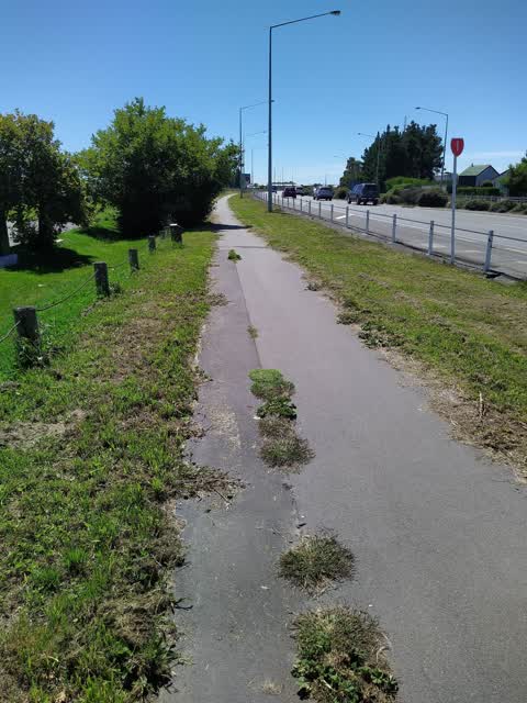
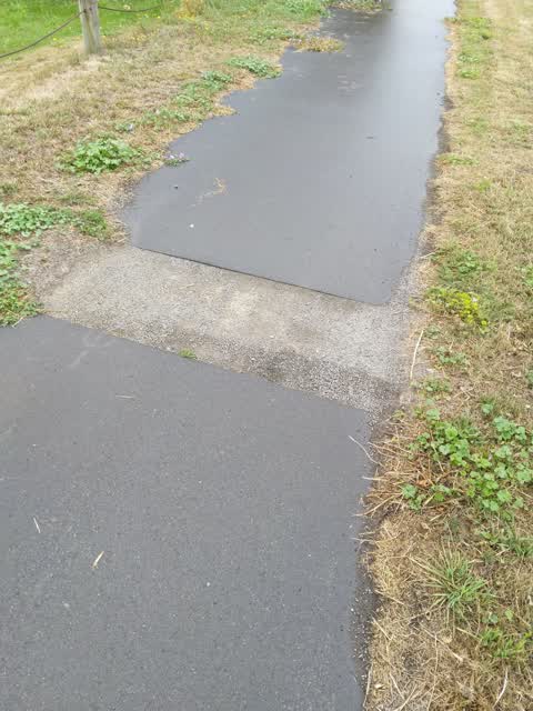
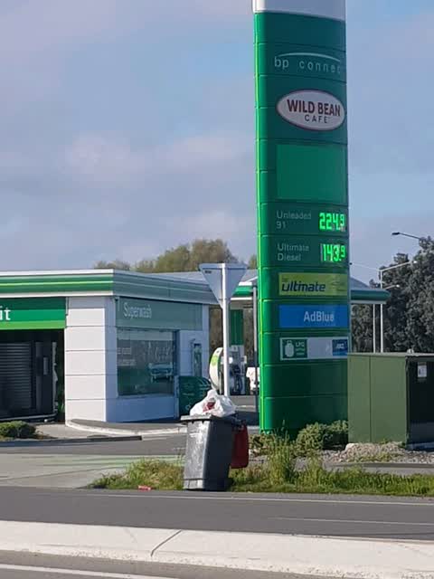
What’s on record
- Damaged Street Sign, 11 Aug 2026
Main NZTA sign has been hit by a car, on a precarious angle. Main directional sign "Belfast/ Picton" on North edge of the Roundabout
- Damaged Street Sign, 5 Aug 2026
Road Sign is badly damaged from a crash, I guess.
- Dumped Rubbish, 29 Jul 2026
black Couch
 Street Light Outage, 8 Jan 2025
- Pavement - Damaged, 4 Feb 2023
 Roading/Streets, 18 Feb 2022
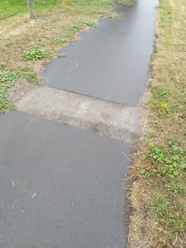
 Overgrown pathway and unfinished work after trenching. This trench has been like this for years! About time it was sorted. Overhung tree als
 Roading/Streets, 1 Mar 2021
 job never finished
Rubbish/Recycling, 21 Sept 2019
saturday morning. look terrible, if becoming windy will blow everyehere
Elsewhere on Harewood Road
- 801 Harewood Road, 16 reports
- 740 Harewood Road, 7 reports
- 751 Harewood Road, 6 reports
- 823 Harewood Road, 5 reports
- 716 Harewood Road, 4 reports
- 690A Harewood Road, 4 reports
- 607 Harewood Road, 4 reports
- 515 Harewood Road, 4 reports
The street’s crash record
NZTA’s record names Harewood Road in 67 crashes that hurt somebody since 2006, 1 person killed, 8 seriously hurt.
The civic layer
This ground votes in Harewood ward, the Fendalton-Waimairi-Harewood community board is its local layer. Ward lines don’t always follow suburb lines; this one is measured at the pin, not the suburb’s centre. The whole roll is at /wards.
Harewood Road, the whole record → · Everything about Harewood → · What stood on this ground → · On the map → · From the air, RetroLens holds the Crown’s aerials back to 1936; search the address there →
Questions, answered briefly
8 council reports on record since September 2019, most often roading/streets (2), damaged street sign (2), street light outage (1).
Harewood, Christchurch, on Harewood Road.
The heritage register names 3 places at or beside it, St James' Church Graveyard, St James' Church and Setting.