801 Harewood Road, Harewood
16 reports on record since December 2020 · 9 with photographs. The most-reported address on Harewood Road. Indicative rating valuation and school zones, hazards, bin day and what stood here before.
What gets reported here
Photographed here 9 on record


Reported here
 Poles and Signage - General —
 Opposite ex Raeward Fresh on shared pathway
 Pavement - General —
  Pavement - Damaged —
 Rail knocked over
 Vandalism - General —
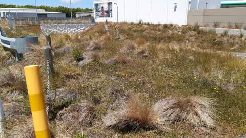
 Pole removed. ?maybe so a vehicle can get through the tunnel
- Road Signage —
- Poles and Signage - General —
- Damaged Street Sign —
- Graffiti —
- Graffiti —
 Roading/Streets —
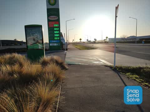
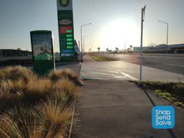
 Cars are not giving way to cyclists, especially when exiting BP. Please install black and yellow judder bars on the approach (i.e. a few met
 Roading/Streets —
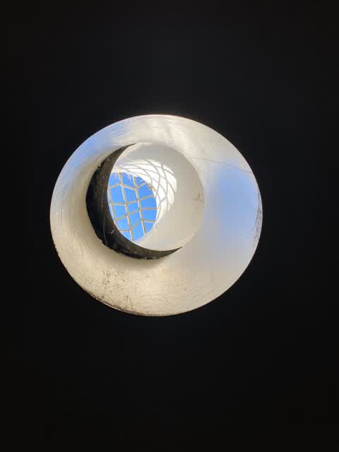
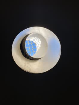
 One of the port holes in the tunnel has broken
 Roading/Streets —
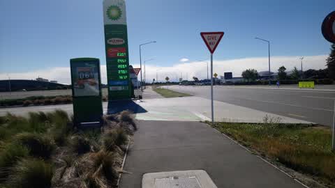
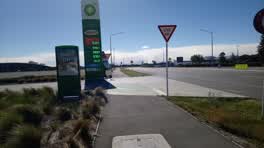
 Give way signs have rotated in the wind, and paint (green on the shared path, and white give way markings) has been worn off. Perhaps the gi
 Roading/Streets —
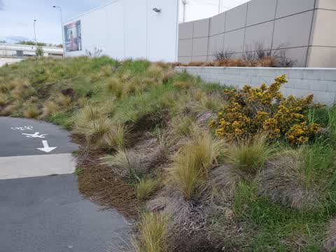
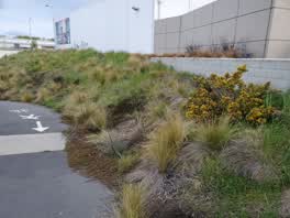
 Gorse bush. Invasive weed.
- Roading/Streets —
Cycle way has vegetation encroaching across path and slippery
- Roading/Streets —
Yellow marker post knocked out
Parks —
under pass needs maintenance
Also reported on Harewood Road
- 800 Harewood Road — 8 reports
- 740 Harewood Road — 7 reports
- 751 Harewood Road — 6 reports
- 823 Harewood Road — 5 reports
- 716 Harewood Road — 4 reports
- 690A Harewood Road — 4 reports
- 607 Harewood Road — 4 reports
- 515 Harewood Road — 4 reports
The street’s crash record
NZTA’s record names Harewood Road in 67 crashes that hurt somebody since 2006 — 1 person killed, 8 seriously hurt.
On the doorstep
- BP Connect Russley — 39 m away · Petrol stations
- BP — 41 m away · Petrol stations
- Cafe Raeward — 65 m away · Cafés
- Black & White Coffee Cartel — 124 m away · Cafés
Businesses within four hundred metres, measured at the pin — OpenStreetMap and the council directories.
The bus nearby
- Harewood Rd near Waimakariri Rd — 241 m away · route 8, route 125
- Harewood Rd near Waimakariri Rd — 258 m away · route 8, route 125
The closest Metro stops, within four hundred and fifty metres.
The tracks through here
- Walk and bike track through Harewood — 37 m to the line · walk · bike
- Walk and bike track through Harewood — 80 m to the line · walk · bike
- Walk and bike track through Harewood — 135 m to the line · walk · bike
Tracks whose line passes within half a kilometre, measured to the line itself — the council’s open data.
What was here — St James' Church Graveyard
160 m away · located to ±36 m · the place’s own record →
On the register. Nothing researched here yet.
What was here — St James' Church Lychgate and Setting
190 m away · 750 Harewood Road · located to ±2 m · the place’s own record →
On the register. Nothing researched here yet.
What was here — St James' Church and Setting
201 m away · 750 Harewood Road · located to ±11 m · the place’s own record →
On the register. Nothing researched here yet.
The civic layer
This ground votes in Harewood ward — the Fendalton-Waimairi-Harewood community board. Ward lines don’t always follow suburb lines; this one is measured at the pin, not the suburb’s centre.
What stood on this ground → · On the map → · From the air — the Crown’s aerials back to 1936; search the address on RetroLens →
Questions, answered briefly
16 council reports on record since December 2020 — most often roading/streets (6), poles and signage - general (2), graffiti (2).
Harewood, Christchurch — on Harewood Road.
The heritage register names 3 places at or beside it — St James' Church Graveyard, St James' Church Lychgate and Setting.