59 Martindales Road, Heathcote Valley
14 reports on record since June 2015 · 5 with photographs. The street’s heaviest record is 78 Martindales Road — 29 reports on file. Indicative rating valuation and school zones, hazards, bin day and what stood here before.
What gets reported here
- Water Leak — 6
- Roading/Streets — 3
- Graffiti — 3
- Street Gutters / Storm Water — 1
- Road Signage — 1
Photographed here 5 on record
Reported here
- Water Leak —
- Water Leak —
- Water Leak —
- Water Leak —
- Water Leak —
- Water Leak —
- Road Signage —
- Street Gutters / Storm Water —
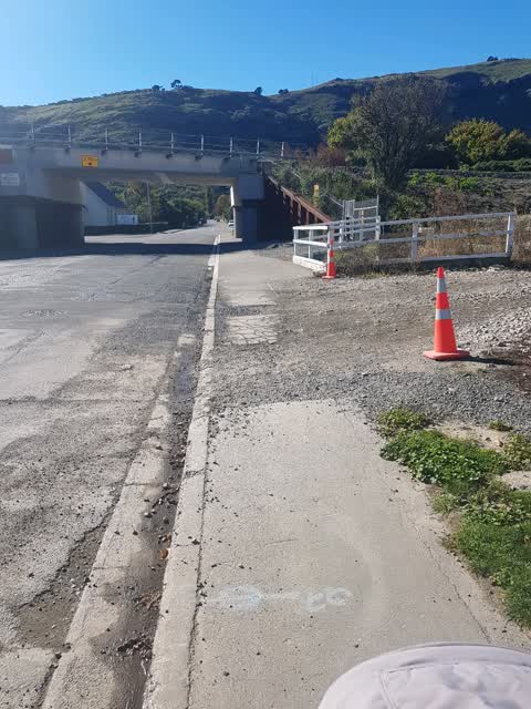
Roading/Streets —
Site access has left only footpath inaccessible
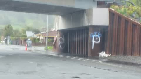
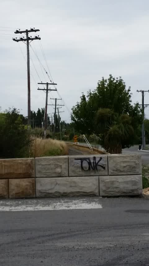
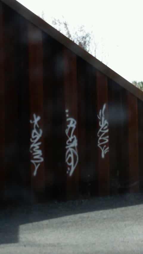
Graffiti —
- Roading/Streets —
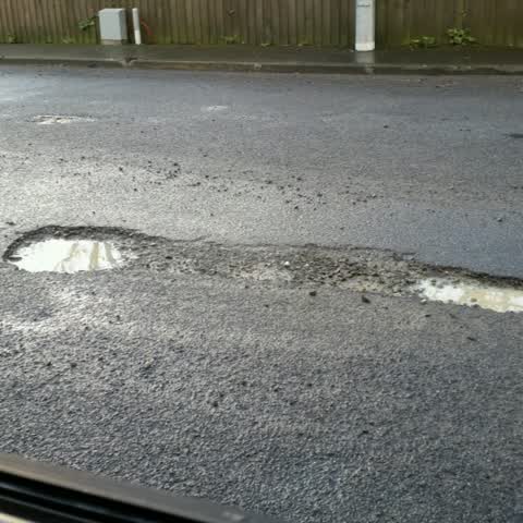
Potholes in road by bridge
Graffiti —
Graffiti —
On the bridge
Roading/Streets —
New potholes. Not done as part of recent fixes.
Also reported on Martindales Road
- 78 Martindales Road — 29 reports
- 80 Martindales Road — 18 reports
- 2 Martindales Road — 11 reports
- 75 Martindales Road — 10 reports
- 8 Martindales Road — 8 reports
- 57 Martindales Road — 7 reports
- 31 Martindales Road — 7 reports
- 1 Martindales Road — 6 reports
The street’s crash record
NZTA’s record names Martindales Road in 1 crash that hurt somebody since 2006 — 1 person killed, 0 seriously hurt.
The green nearby
- Martindales Reserve No. 1 — 64 m to the edge
- Martindales Reserve No. 2 — 225 m to the edge
- Cooks Reserve — 225 m to the edge
- Bridle Path Stream Reserve — 280 m to the edge
- Heathcote Domain — 347 m to the edge · Sports ground · 4 ha
Parks within half a kilometre, measured to the boundary — the council’s open data.
On the doorstep
- Craft Room Cafe — 150 m away · Cafés
- The Port Hills Barbershop — 156 m away · Hairdressers
- Spice Hub — 162 m away · Restaurants
- Maltworks Convenience Store — 169 m away · Dairies & convenience
Businesses within four hundred metres, measured at the pin — OpenStreetMap and the council directories.
The bus nearby
- Martindales Rd near Truscotts Rd — 108 m away · route 8
- Martindales Rd near Station Rd — 137 m away · route 8
The closest Metro stops, within four hundred and fifty metres.
The named ground
Named places within 1.5 km of this address; the council’s own structure register — bridges, boardwalks and steps standing nearby — the open map’s record.
Renting nearby
new bonds in Heathcote Valley ran about $750 a week — $200 above the city median of $550 — the suburb page keeps the rent record →.
What was here — St Mary's Church and Setting
81 m away · 2 Truscotts Road · located to ±10 m · the place’s own record →
On the register. Nothing researched here yet.
The civic layer
This ground votes in Heathcote ward — the Spreydon-Cashmere-Heathcote community board. Ward lines don’t always follow suburb lines; this one is measured at the pin, not the suburb’s centre.
What stood on this ground → · On the map → · From the air — the Crown’s aerials back to 1936; search the address on RetroLens →
Questions, answered briefly
14 council reports on record since June 2015 — most often water leak (6), roading/streets (3), graffiti (3).
Heathcote Valley, Christchurch — on Martindales Road.
The heritage register names a place at or beside it — St Mary's Church and Setting.
Martindales Reserve No. 1 — 64 m to its edge.