350 Port Hills Road, Hillsborough
11 reports on record since April 2019 · 8 with photographs. The street’s heaviest record is 422 Port Hills Road — 15 reports on file. Indicative rating valuation and school zones, hazards, bin day and what stood here before.
What gets reported here
- Graffiti — 2
- Water Supply — 1
- Rubbish/Recycling — 1
- Roads - General — 1
- Roading/Streets — 1
- Pothole — 1
Photographed here 8 on record



Reported here
 General Request —
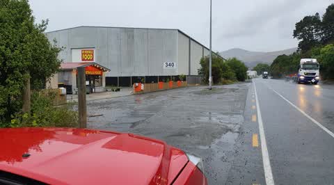
Enormous dust every time NW wind containerport should use water to contain dust as it settles on our roofs in Avoca-Horotane-Heathcote valle
- Roads - General —
The guy camping on the side of the road is pissing in full view. Against all freedom camping rules
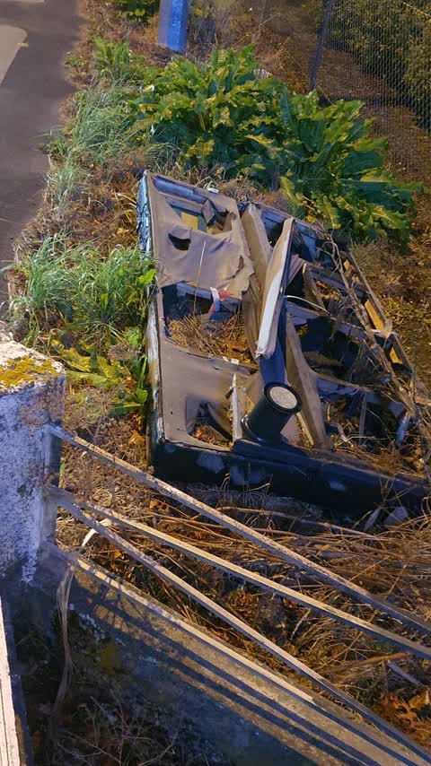
- Dumped Rubbish —
Mattress
 Pothole —
Four massive potholes along road. Have damaged car rims after work on car being carried out. Needs fixing asap
 Damaged Road —
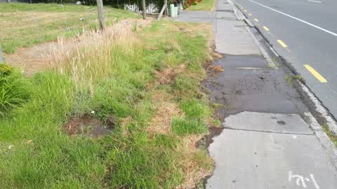
Not on the road, but on NZTAs property, becoming very deep due to trucks driving through it. Would be nice to see a proper channel to meet u
- Graffiti —
 Graffiti —
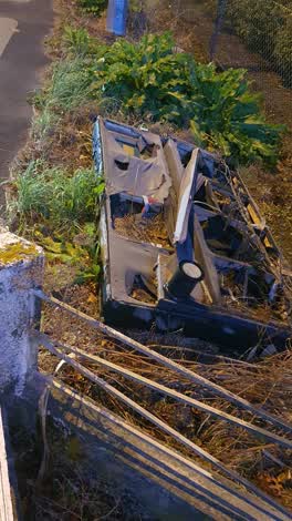 Rubbish/Recycling —
someone has thrown their rubbish in front of our property which is sitting here for more than weeks now
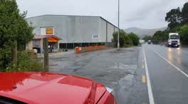 Parks —
Is it a crime to park at roadside on councils or NZTA's land? This lady running her business at 346 Port Hills Road is always so abusive to
Water Supply —
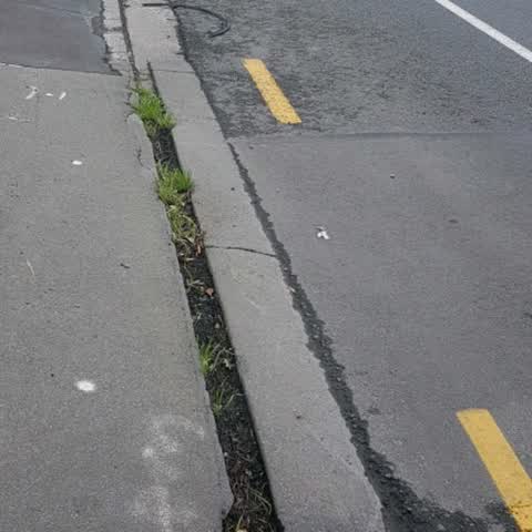
Roading/Streets —
Cycle way hazard. My son was biking along here at night and had an accident in bike lane. Think his wheel must have got trapped in this gap
Also reported on Port Hills Road
- 422 Port Hills Road — 15 reports
- 361 Port Hills Road — 15 reports
- 340 Port Hills Road — 13 reports
- 333 Port Hills Road — 7 reports
- 315 Port Hills Road — 7 reports
- 321 Port Hills Road — 6 reports
- 308 Port Hills Road — 6 reports
- 301 Port Hills Road — 6 reports
The street’s crash record
NZTA’s record names Port Hills Road in 22 crashes that hurt somebody since 2006 — 6 seriously hurt, nobody killed.
The green nearby
- Nuttall Reserve — 195 m to the edge
- Curries Reserve — 218 m to the edge
- Hillsborough Park — 406 m to the edge · Sports ground · 4 ha
Parks within half a kilometre, measured to the boundary — the council’s open data.
On the doorstep
- Rocky Auto — 13 m away · Car repair
- Rocky Point — 24 m away · Petrol stations
- Fryers Tuck — 56 m away · Fast food
- Romano's pizza factory shop — 365 m away · Bakeries
Businesses within four hundred metres, measured at the pin — OpenStreetMap and the council directories.
The bus nearby
- Port Hills Rd near Curries Rd — 24 m away · route 8
- Port Hills Rd near Curries Rd — 182 m away · route 8
The closest Metro stops, within four hundred and fifty metres.
The tracks through here
- Walk and bike track through Hillsborough — 14 m to the line · walk · bike
- Walk and bike track through Hillsborough — 165 m to the line · walk · bike
- Walk and bike track through Hillsborough — 165 m to the line · walk · bike
Tracks whose line passes within half a kilometre, measured to the line itself — the council’s open data.
Renting nearby
new bonds in Hillsborough ran about $445 a week — $105 below the city median of $550 — the suburb page keeps the rent record →.
The civic layer
This ground votes in Heathcote ward — the Spreydon-Cashmere-Heathcote community board. Ward lines don’t always follow suburb lines; this one is measured at the pin, not the suburb’s centre.
What stood on this ground → · On the map → · From the air — the Crown’s aerials back to 1936; search the address on RetroLens →
Questions, answered briefly
11 council reports on record since April 2019 — most often graffiti (2), water supply (1), rubbish/recycling (1).
Hillsborough, Christchurch — on Port Hills Road.
Nothing on the heritage register at this exact spot — the record around this ground →
Nuttall Reserve — 195 m to its edge.