1 Sir James Wattie Drive
4 council reports since October 2021, 4 carrying a photograph. The most-reported address on Sir James Wattie Drive.
From the air, then
Sourced from Canterbury Maps and partners. LINZ, CC BY 3.0 NZ. Each frame is cut from Environment Canterbury’s historic imagery MapServer for that decade, only where the Footprints layer names a CC BY survey (NZAM-covered spots stay out). RetroLens holds more Crown aerials →
The tracks through here
- Walk and bike track through Hornby South, 126 m to the line · walk · bike
Tracks whose line passes within half a kilometre, the council’s open data.
Renting nearby
new bonds in Hornby South ran about $550 a week, about the city median, the suburb page keeps the rent record →.
What gets reported here
Photographed here 4 on record

What’s on record
 Road Signage, 26 Mar 2026
Sign for Sir James Wattie Dr blown over in wind at intersection to Brydone Rd
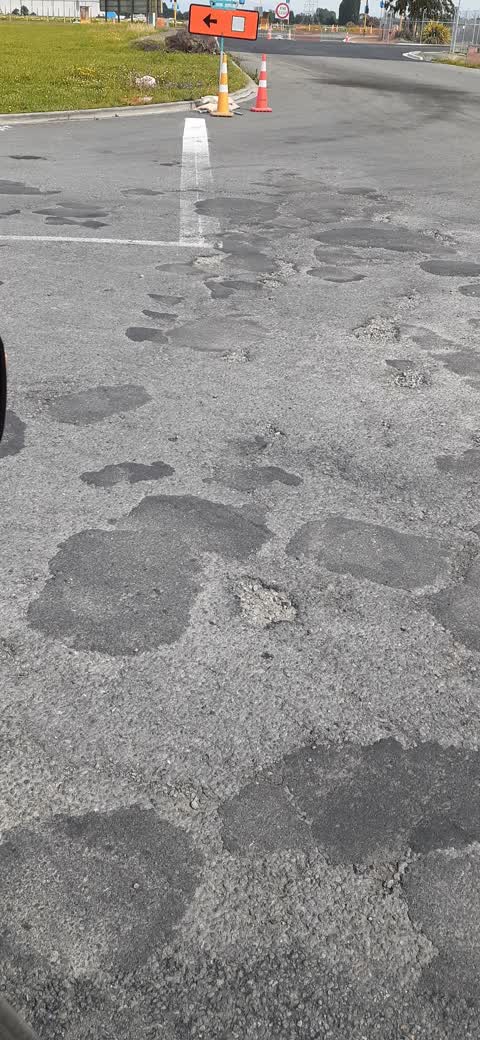
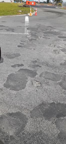 Roading/Streets, 4 Jan 2022
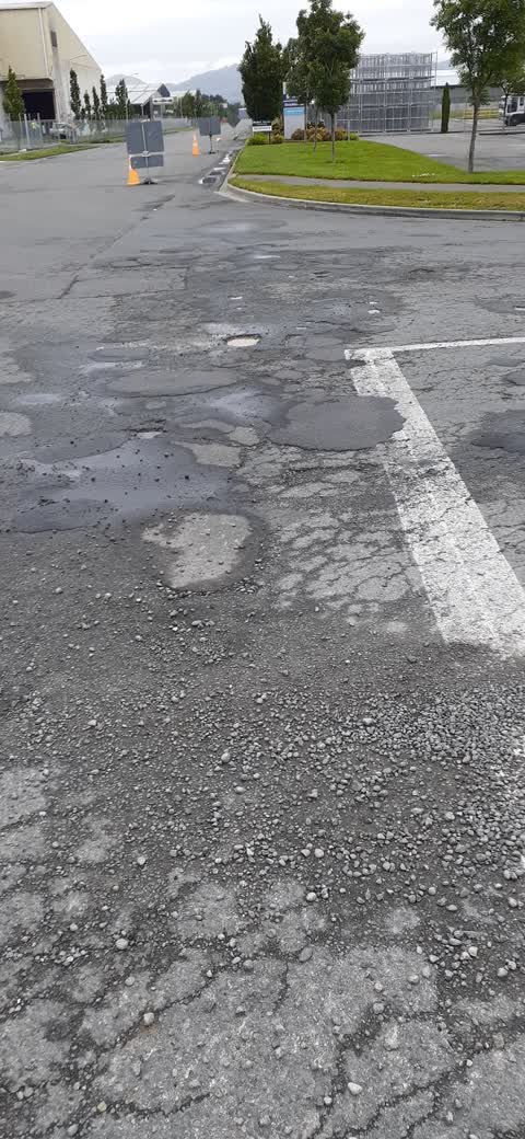
Potholes
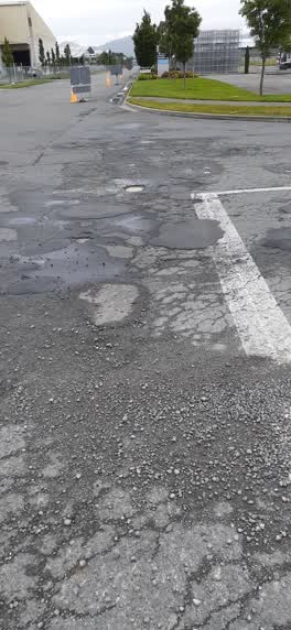 Roading/Streets, 12 Dec 2021
More potholes, would imagine it will look a lot worse the time 300 + trucks go over this
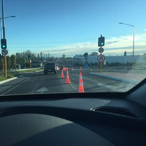
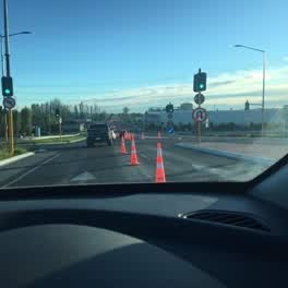 Roading/Streets, 12 Oct 2021
Traffic management, why does this happen you have two lanes going down to one lane only to then go back to two lines, easy fix remove the fi
Elsewhere on Sir James Wattie Drive
- 4 Sir James Wattie Drive, 2 reports
- 2 Sir James Wattie Drive, 2 reports
- 9 Sir James Wattie Drive, 1 report
- 17 Sir James Wattie Drive, 1 report
- 16 Sir James Wattie Drive, 1 report
- 12 Sir James Wattie Drive, 1 report
- 11 Sir James Wattie Drive, 1 report
The street’s crash record
NZTA’s record names Sir James Wattie Drive in 3 crashes that hurt somebody since 2006, 0 seriously hurt, nobody killed.
The civic layer
This ground votes in Hornby ward, the Halswell-Hornby-Riccarton community board is its local layer. Ward lines don’t always follow suburb lines; this one is measured at the pin, not the suburb’s centre. The whole roll is at /wards.
Sir James Wattie Drive, the whole record → · Everything about Hornby South → · What stood on this ground → · On the map → · From the air, RetroLens holds the Crown’s aerials back to 1936; search the address there →
Questions, answered briefly
4 council reports on record since October 2021, most often roading/streets (3), road signage (1).
Hornby South, Christchurch, on Sir James Wattie Drive.
Nothing on the heritage register at this exact spot, the record around this ground →