95 Shands Road
7 council reports since June 2022, 5 carrying a photograph. The street’s heaviest record is 255 Shands Road, 8 reports on file.
From the air, then
Sourced from Canterbury Maps and partners. LINZ, CC BY 3.0 NZ. Each frame is cut from Environment Canterbury’s historic imagery MapServer for that decade, only where the Footprints layer names a CC BY survey (NZAM-covered spots stay out). RetroLens holds more Crown aerials →
The green nearby
- Shands Reserve, 360 m to the edge · 1 ha
- Waitohi Reserve, 492 m to the edge · playground, 8 pieces
Parks within half a kilometre, measured to the boundary, the council’s open data. The whole roll is at /parks.
On the doorstep
- SaveMart, 174 m away · Clothing
- NZ Safety Blackwoods, 324 m away · Clothing
- Southpaw Brewing Company, 353 m away · Bottle stores
- Z Hornby Truck Stop, 386 m away · Petrol stations
Businesses within four hundred metres, measured at the pin, OpenStreetMap and the council directories.
The tracks through here
- Walk and bike track through Hornby South, 41 m to the line · walk · bike
Tracks whose line passes within half a kilometre, the council’s open data.
Renting nearby
new bonds in Hornby South ran about $550 a week, about the city median, the suburb page keeps the rent record →.
What gets reported here
Photographed here 5 on record


What’s on record
 Damaged Road, 6 May 2026
Multiple large dips where service covers are on the newly resurfaced parts of Halswell Junction Road. Unclear if Higgins (?) are coming back
 Road Blockage, 24 Apr 2025
HJR needs sweeping please
 Pothole, 24 Apr 2025
For CCC (not NZTA). Shands & HJR are now both CCC owned. Pothole on both sides is significant when viewed in person and existing for some ti
- Roads - General, 11 Dec 2024
Morning. Could I get the bike path on the road swept? Lots of stones in the bike path from trucks loads going around the corner. Main place
 Damaged Road, 30 Nov 2024
- Damaged Road, 2 Jan 2023
 Roading/Streets, 22 Jun 2022
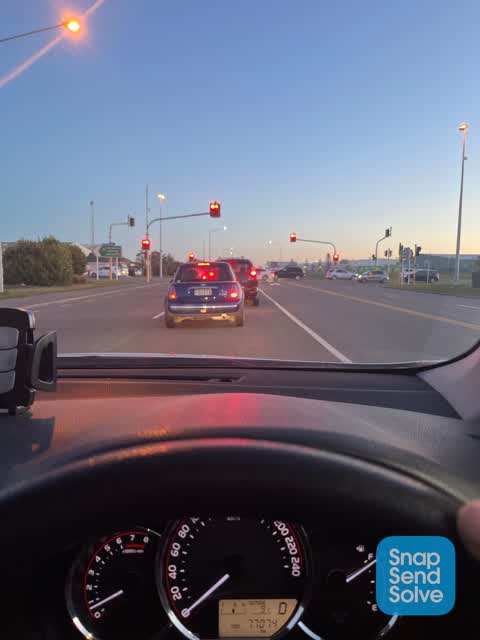
Can you please change to double lanes going south at lights You already have double lanes going north This will r reduce queues at night bac
Elsewhere on Shands Road
- 255 Shands Road, 8 reports
- 102 Shands Road, 5 reports
- 85-95 Shands Road, 4 reports
- 166 Shands Road, 4 reports
- 374 Shands Road, 3 reports
- 206 Shands Road, 3 reports
- 132 Shands Road, 3 reports
- 330 Shands Road, 2 reports
The street’s crash record
NZTA’s record names Shands Road in 35 crashes that hurt somebody since 2006, 5 people killed, 7 seriously hurt.
The civic layer
This ground votes in Hornby ward, the Halswell-Hornby-Riccarton community board is its local layer. Ward lines don’t always follow suburb lines; this one is measured at the pin, not the suburb’s centre. The whole roll is at /wards.
Shands Road, the whole record → · Everything about Hornby South → · What stood on this ground → · On the map → · From the air, RetroLens holds the Crown’s aerials back to 1936; search the address there →
Questions, answered briefly
7 council reports on record since June 2022, most often damaged road (3), roads - general (1), roading/streets (1).
Hornby South, Christchurch, on Shands Road.
Nothing on the heritage register at this exact spot, the record around this ground →
Shands Reserve, 360 m to its edge, 1 ha.