60 Wilmers Road, Hornby
13 reports on record since May 2022 · 11 with photographs. The street’s heaviest record is 4 Wilmers Road — 30 reports on file. Indicative rating valuation and school zones, hazards, bin day and what stood here before.
What gets reported here
Photographed here 11 on record



Reported here
 Pothole —
 Road shoulder disappearing where fire trucks turn into station. Please fill.
 Overgrown Vegetation —
 Overgrown vegetation is obstructing the bike path.
 Overgrown Vegetation —
 over grown bushes by fire station
 Street Gutters / Storm Water —
 Electrical Contractor has made a complete mess of council berm, during their install, now this area floods everything it rains! As a rate p
 Dumped Rubbish —
 Dumped Rubbish/couches and dumped Green Waste. Next to the Fire Station by the road under the gum trees.
 Pavement - General —
 when your contractors fixed elements of the cycle trail, the gained access here for trucks and heavy equipment. The installed ballast but ne
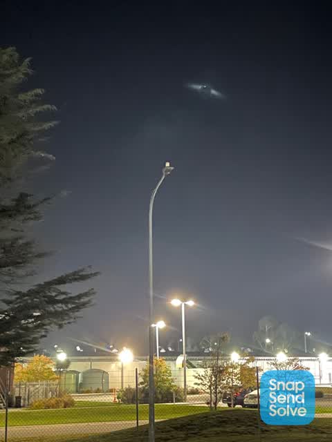
 Street Light Outage —
 Street light outside meadow mushrooms (opposite fire station) isn’t working since multiple years.
 Street Light Outage —
 Street light still not working, since multiple years.
 Water General —
 Footpath recently installed has a pathway for the water to drain. It looks like trucks have driven over it and broken the pipe within a few
- Street Light Outage —
- Road Signage —
 Roading/Streets —
 Street sign has been hit. I have attempted to reinstall it best I can.
 Street Light Outage —
 Street lights not working (on CCC road, not private property)
Also reported on Wilmers Road
- 4 Wilmers Road — 30 reports
- 46 Wilmers Road — 20 reports
- 50R Wilmers Road — 14 reports
- 46R Wilmers Road — 13 reports
- 4R Wilmers Road — 11 reports
- 6A Wilmers Road — 10 reports
- 6 Wilmers Road — 10 reports
- 10 Wilmers Road — 9 reports
The street’s crash record
NZTA’s record names Wilmers Road in 11 crashes that hurt somebody since 2006 — 0 seriously hurt, nobody killed.
The green nearby
- Warren Park — 198 m to the edge · Sports ground · 16 ha
- Springs Halswell Reserve — 210 m to the edge · 4 ha
Parks within half a kilometre, measured to the boundary — the council’s open data.
On the doorstep
- Horror Maze — 374 m away · Attractions
Businesses within four hundred metres, measured at the pin — OpenStreetMap and the council directories.
The tracks through here
- Walk and bike track through Hornby — 147 m to the line · walk · bike
- Walk and bike track through Hornby — 284 m to the line · walk · bike
Tracks whose line passes within half a kilometre, measured to the line itself — the council’s open data.
The named ground
Named places within 1.5 km of this address — the open map’s record.
Renting nearby
new bonds in Hornby ran about $550 a week — about the city median — the suburb page keeps the rent record →.
The civic layer
This ground votes in Hornby ward — the Halswell-Hornby-Riccarton community board. Ward lines don’t always follow suburb lines; this one is measured at the pin, not the suburb’s centre.
What stood on this ground → · On the map → · From the air — the Crown’s aerials back to 1936; search the address on RetroLens →
Questions, answered briefly
13 council reports on record since May 2022 — most often street light outage (4), overgrown vegetation (2), water general (1).
Hornby, Christchurch — on Wilmers Road.
Nothing on the heritage register at this exact spot — the record around this ground →
Warren Park — 198 m to its edge, 16 ha.