From the air
Naughty Boys Island
A named wetland in Christchurch, at Bexley.
Where it sits
The pin sits near the water’s middle; the strong outline is the suburb around it, the rest are its neighbours.
The ground under it
The plans and surveys kept here, asked once of the pin. The whole stack answers live: what stood on this ground →
Around it
The reports nearby
11 council reports pinned within 250 m of the point, most often Rubbish & dumping and Graffiti & vandalism, 9 with a photograph. A pin is where a reporter stood, not a claim about the place itself.
 Dumped Rubbish
 Graffiti on a fence, building or structure
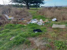 Rubbish/Recycling
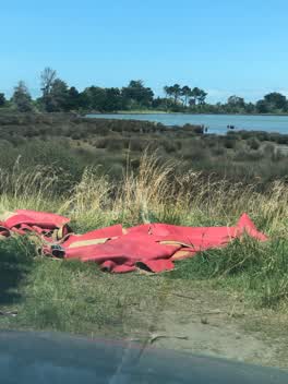 Rubbish/Recycling
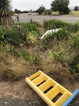 Parks
Parks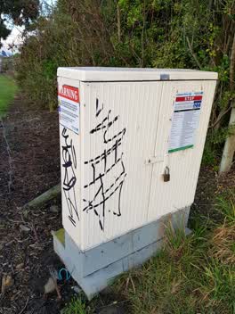 Graffiti
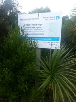 Roading/Streets
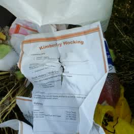 Rubbish/Recycling
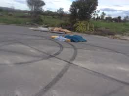 Rubbish/Recycling
Questions, answered briefly
A named wetland in Christchurch, at Bexley, as the open map records it.
The pin is OpenStreetMap’s own position for the wetland, roughly the water’s middle. Neighbours on the register are near it, not the same record.
The record behind this
The position and the names are OpenStreetMap’s, a named lake, lagoon, wetland or spring inside the city boundary (ODbL). The dual names are recorded as the map carries them; a pin is the mapper’s position, not a surveyed mark.
This page as markdown: /lake/naughty-boys-island.md · the whole roll as data: /lakes.geojson · on the big map: /map?layer=lakes · the waterways: /river · the coast: /coast · every roll, counted: /geography.