151 England Street, Linwood
13 reports on record since February 2016 · 8 with photographs. The street’s heaviest record is 141 England Street — 36 reports on file. Indicative rating valuation and school zones, hazards, bin day and what stood here before.
What gets reported here
Photographed here 8 on record


Reported here
 Dumped Rubbish —
 a big pile of rubbish dumped outside Kainga Ora units
 Dumped Rubbish —
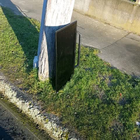
 Single mattress in gutter, leaning against power pole
 Pavement - General —
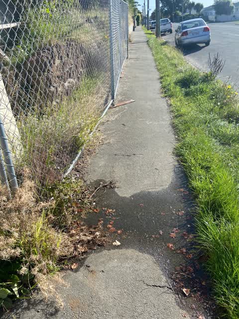
 Cover has broken off and falen into the hole. Right outside the preschool, very dangerous for little kids.
 Pavement - General —
 Cover missing
- Water Leak —
- Damaged Road —
- Street Gutters / Storm Water —
- Water Leak —
- Water Leak —
 Water Leak —
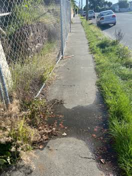
 Water leaking (from Toby?) over the footpath opposite 493 Armagh Street.
 Roading/Streets —
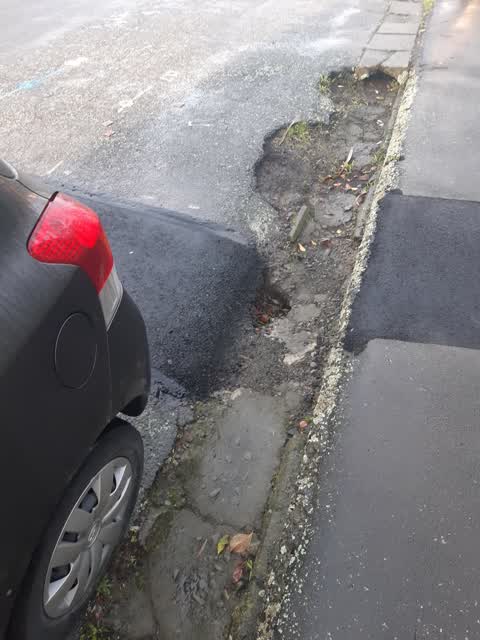
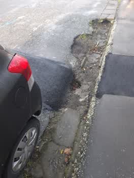
 Had road works here a couple of weeks ago. The area on the road & footpath has been patched but in theres a hole that's collapsed by the gut
Rubbish/Recycling —
Graffiti —
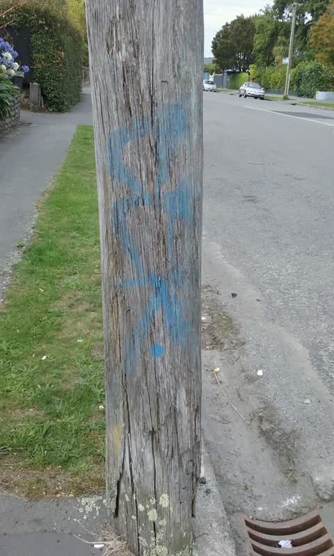
Graffiti on power role
Also reported on England Street
- 141 England Street — 36 reports
- 57 England Street — 22 reports
- 68 England Street — 20 reports
- 56 England Street — 20 reports
- 80 England Street — 19 reports
- 47 England Street — 15 reports
- 169 England Street — 8 reports
- 95 England Street — 7 reports
The street’s crash record
NZTA’s record names England Street in 27 crashes that hurt somebody since 2006 — 6 seriously hurt, nobody killed.
The green nearby
- Hereford Playground — 386 m to the edge
- Worcester Corner Reserve — 498 m to the edge
Parks within half a kilometre, measured to the boundary — the council’s open data.
On the doorstep
- Under The Red Verandah — 352 m away · Cafés
- Woodham Road Healthcare — 367 m away · Doctors & clinics
- Woodham Road Pharmacy — 375 m away · Pharmacies
- Woodham Road Medical Centre — 383 m away · Business
Businesses within four hundred metres, measured at the pin — OpenStreetMap and the council directories.
The bus nearby
- Gloucester St near England St — 218 m away · route 5
- Gloucester St near England St — 230 m away · route 5
The closest Metro stops, within four hundred and fifty metres.
The tracks through here
- Walk and bike track through Linwood — 5 m to the line · walk · bike
- Walk and bike track through Linwood — 39 m to the line · walk · bike
- Walk and bike track through Linwood — 95 m to the line · walk · bike
- Walk and bike track through Linwood — 208 m to the line · walk · bike
- Walk and bike track through Linwood — 247 m to the line · walk · bike
Tracks whose line passes within half a kilometre, measured to the line itself — the council’s open data.
The named ground
Named water within 500 m of this address, measured to the line or the edge — the open map’s record.
Renting nearby
new bonds in Linwood ran about $478 a week — $72 below the city median of $550 — the suburb page keeps the rent record →.
What was here — MED Substation
88 m away · 70E Linwood Avenue · located to ±7 m · the place’s own record →
On the register. Nothing researched here yet.
The civic layer
This ground votes in Central ward — the Papanui-Innes-Central community board. Ward lines don’t always follow suburb lines; this one is measured at the pin, not the suburb’s centre.
What stood on this ground → · On the map → · From the air — the Crown’s aerials back to 1936; search the address on RetroLens →
Questions, answered briefly
13 council reports on record since February 2016 — most often water leak (4), pavement - general (2), dumped rubbish (2).
Linwood, Christchurch — on England Street.
The heritage register names a place at or beside it — MED Substation.
Hereford Playground — 386 m to its edge.