20 Kerrs Road, Linwood
12 reports on record since June 2015 · 11 with photographs. The most-reported address on Kerrs Road. Indicative rating valuation and school zones, hazards, bin day and what stood here before.
What gets reported here
Photographed here 11 on record



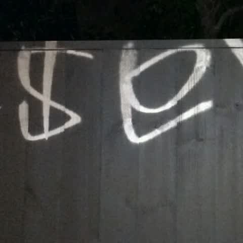
Reported here
 Graffiti on a fence, building or structure —
 black tag sign on city waterworks building in woodham rd
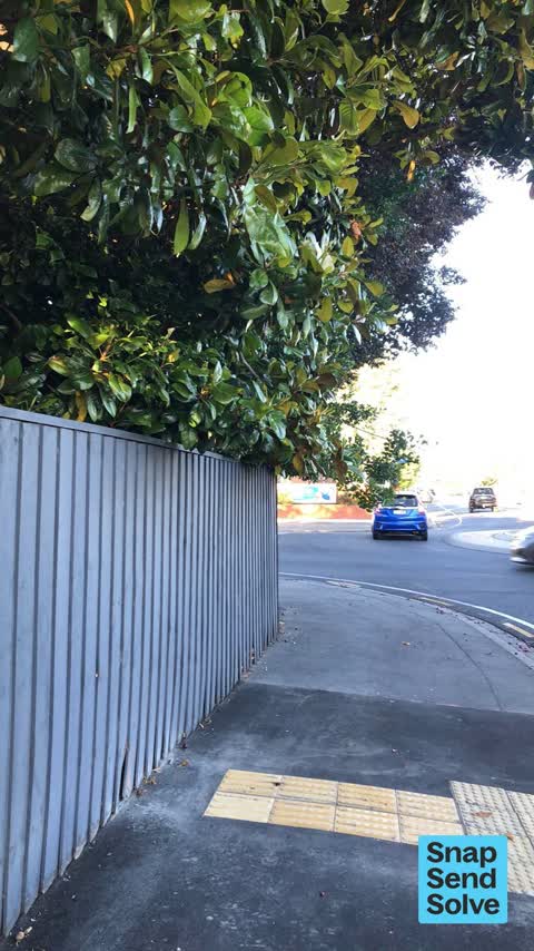
 Trees - General —
 Trees that overhang down below head level from corner property are a health and safety issue and obstruction to using footpath safety. We h
 Graffiti somewhere else —
 Street signage on roundabout been tagged
 Overgrown Vegetation —
 Plums from overgrown tree all over path. Making path slippery and unsafe for local blind man. Trees all at head level need to be trimmed bac
 Overgrown Vegetation —
 Over hanging trees, need to duck to get past. The plum tree also is litering the footpath with fallwm plums making footpayh slipperly and ve
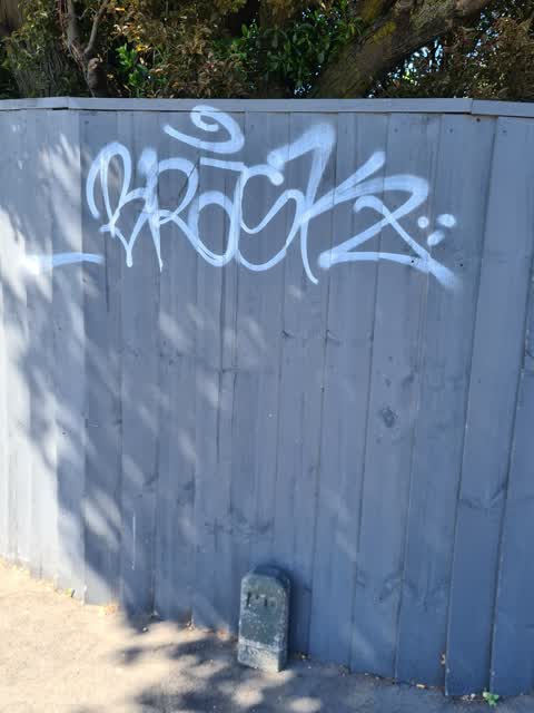
 Graffiti on a fence, building or structure —
 Our fence was damaged when the footpath was replaced. Can this please be repaired?
- Graffiti —
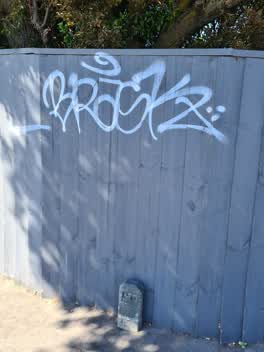 Graffiti —
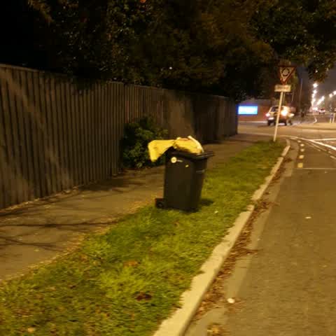
 Rubbish/Recycling —
abandoned wheelie bin outside my house, not mine. has been there for about a week
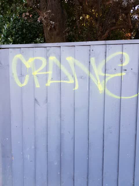
Graffiti —
Spray paint on residential fence
Graffiti —
I'm the owner of the property, just saw this on my way home from the airport at about 5:30am
Parks —
Test test test
Also reported on Kerrs Road
- 19 Kerrs Road — 8 reports
- 1 Kerrs Road — 8 reports
- 5 Kerrs Road — 7 reports
- 4 Kerrs Road — 2 reports
- 3 Kerrs Road — 2 reports
- 2F Kerrs Road — 2 reports
- 17 Kerrs Road — 2 reports
- 11 Kerrs Road — 2 reports
The street’s crash record
NZTA’s record names Kerrs Road in 13 crashes that hurt somebody since 2006 — 5 seriously hurt, nobody killed.
The green nearby
- Bromley Park — 160 m to the edge · Sports ground · 4 ha
- Nicholas Playground — 329 m to the edge
Parks within half a kilometre, measured to the boundary — the council’s open data.
On the doorstep
- Rosewood Rest Home & Hospital — 78 m away · Hospital
- Kerrs Road Discount Market — 314 m away · Dairies & convenience
- Mackenzies Hotel and Backpackers — 342 m away · Hostels
- Community Market — 347 m away · Markets
Businesses within four hundred metres, measured at the pin — OpenStreetMap and the council directories.
The bus nearby
- Kerrs Rd — 45 m away · route 80, the Orbiter (anticlockwise)
- Kerrs Rd — 50 m away · route 80, the Orbiter
The closest Metro stops, within four hundred and fifty metres.
The tracks through here
- Walk and bike track through Linwood — 10 m to the line · walk · bike
- Walk and bike track through Linwood — 20 m to the line · walk · bike
- Walk and bike track through Linwood — 147 m to the line · walk · bike
Tracks whose line passes within half a kilometre, measured to the line itself — the council’s open data.
Renting nearby
new bonds in Linwood ran about $478 a week — $72 below the city median of $550 — the suburb page keeps the rent record →.
The civic layer
This ground votes in Linwood ward — the Coastal-Burwood-Linwood community board. Ward lines don’t always follow suburb lines; this one is measured at the pin, not the suburb’s centre.
What stood on this ground → · On the map → · From the air — the Crown’s aerials back to 1936; search the address on RetroLens →
Questions, answered briefly
12 council reports on record since June 2015 — most often graffiti (4), overgrown vegetation (2), graffiti on a fence, building or structure (2).
Linwood, Christchurch — on Kerrs Road.
Nothing on the heritage register at this exact spot — the record around this ground →
Bromley Park — 160 m to its edge, 4 ha.