243 Linwood Avenue, Linwood
13 reports on record since December 2018 · 9 with photographs. The street’s heaviest record is 320 Linwood Avenue — 44 reports on file. Indicative rating valuation and school zones, hazards, bin day and what stood here before.
What gets reported here
Photographed here 9 on record


Reported here
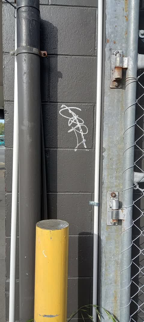
 Graffiti on a fence, building or structure —
 graffiti on black wall
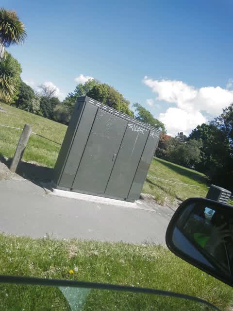
 Graffiti on a fence, building or structure —
 graffiti on black wall
 Hazard — vehicle —
 why do we have 4 kids running around washing car window, us driver's shouldn't have to watch out for these.
 Graffiti somewhere else —
 - Pavement - Damaged —
- Poles and Signage - General —
- Graffiti —
- Graffiti —
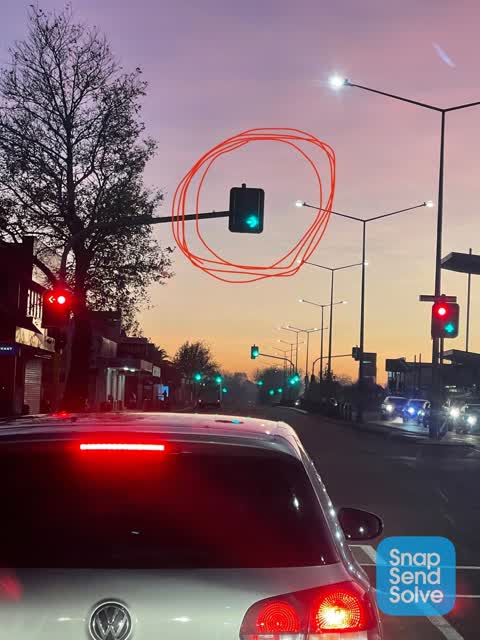
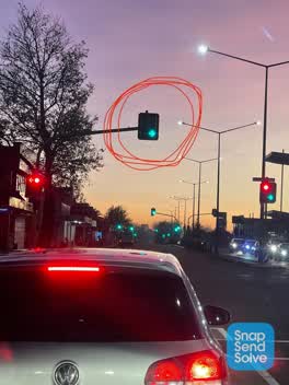 Street Light Outage —
 Overhead red light not working, green arrow came on yesterday morning for turning traffic and I watched a car drive straight through thinkin
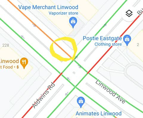
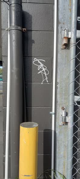 Graffiti —
 243 Linwood Ave - Vape Merchant - Graffiti on building, Buckleys Rd side
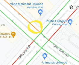 Roading/Streets —
 Dangerous road layout on NE corner of Linwood Ave and Pages Rd intersection. - The left turn lane is too narrow and forces larger vehicles
Graffiti —
Infront of glade Ave on Stanmore road
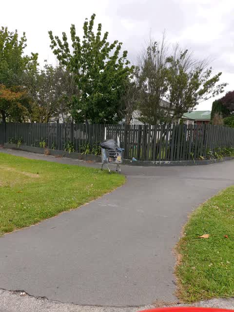
Rubbish/Recycling —
Sitting on the corner
Also reported on Linwood Avenue
- 320 Linwood Avenue — 44 reports
- 225 Linwood Avenue — 44 reports
- 244 Linwood Avenue — 24 reports
- 135 Linwood Avenue — 20 reports
- 309 Linwood Avenue — 18 reports
- 201 Linwood Avenue — 17 reports
- 260 Linwood Avenue — 15 reports
- 248 Linwood Avenue — 15 reports
The street’s crash record
NZTA’s record names Linwood Avenue in 159 crashes that hurt somebody since 2006 — 2 people killed, 28 seriously hurt.
The green nearby
- Linwood Park — 174 m to the edge · Sports ground · 9 ha
- Worcester Corner Reserve — 436 m to the edge
- Linwood Nursery — 463 m to the edge · 1 ha
- Worcester Reserve — 490 m to the edge · 1 ha
Parks within half a kilometre, measured to the boundary — the council’s open data.
The civic shelf nearby
- Linwood Library — 211 m away · Library · First Floor, Eastgate Mall, Buckleys Rd, Christchurch 8062
- Linwood Service Centre — 215 m away · Service centre
Libraries, halls and the rest within half a kilometre — the council’s open data.
On the doorstep
- Vape Merchant — 9 m away · E Cigarette
- Gem's Hair and Beauty Salon — 18 m away · Hairdressers
- Chow's Kitchen — 19 m away · Fast food
- Mr Rice — 29 m away · Restaurants
Businesses within four hundred metres, measured at the pin — OpenStreetMap and the council directories.
The bus nearby
The closest Metro stops, within four hundred and fifty metres.
The tracks through here
- Walk and bike track through Linwood — 13 m to the line · walk · bike
- Walk and bike track through Linwood — 17 m to the line · walk · bike
- Walk and bike track through Linwood — 21 m to the line · walk · bike
- Walk and bike track through Linwood — 175 m to the line · walk · bike
- Walk and bike track through Linwood — 208 m to the line · walk · bike
Tracks whose line passes within half a kilometre, measured to the line itself — the council’s open data.
Renting nearby
new bonds in Linwood ran about $478 a week — $72 below the city median of $550 — the suburb page keeps the rent record →.
The civic layer
This ground votes in Linwood ward — the Coastal-Burwood-Linwood community board. Ward lines don’t always follow suburb lines; this one is measured at the pin, not the suburb’s centre.
What stood on this ground → · On the map → · From the air — the Crown’s aerials back to 1936; search the address on RetroLens →
Questions, answered briefly
13 council reports on record since December 2018 — most often graffiti (4), graffiti on a fence, building or structure (2), street light outage (1).
Linwood, Christchurch — on Linwood Avenue.
Nothing on the heritage register at this exact spot — the record around this ground →
Linwood Park — 174 m to its edge, 9 ha.