4 Nicholas Drive, Linwood
13 reports on record since September 2018 · 11 with photographs. The most-reported address on Nicholas Drive. Indicative rating valuation and school zones, hazards, bin day and what stood here before.
What gets reported here
Photographed here 11 on record




Reported here
 Dumped Rubbish —
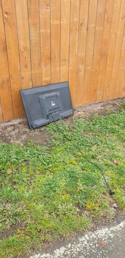
 Dumped rubbish
 Rubbish and Bins - General —
 Yellow recycling bin full of rubbish
 Dumped Rubbish —
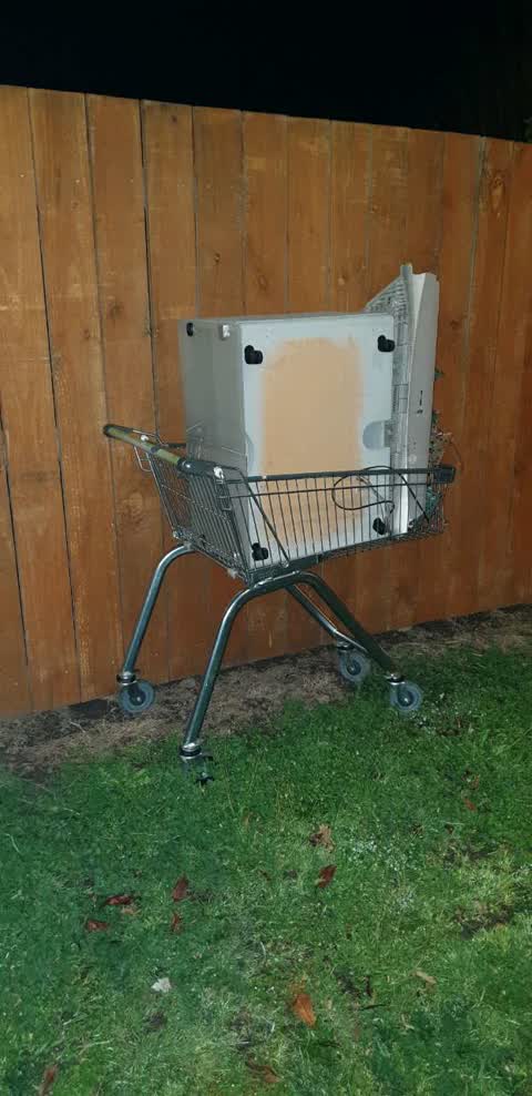
 Supermarket Trolley full of rubbish.
- Park - General Request —
- Pavement - Damaged —
 Roading/Streets —
  Roading/Streets —
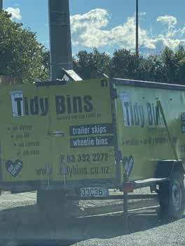
 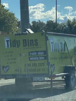 Roading/Streets —
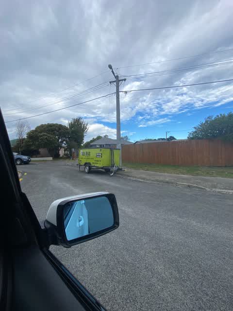
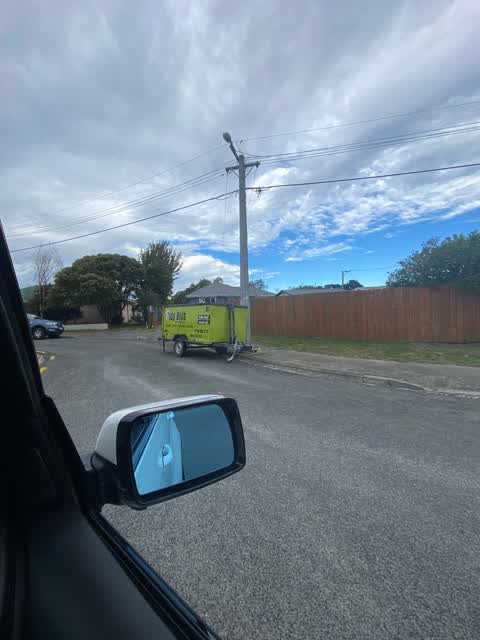
 Trailer has returned after leaving. Someone hit it last night. Parking needs to have it removed.
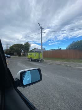
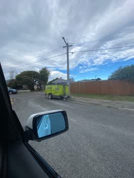 Roading/Streets —
 Been here since last night. Nearly hit when driving in to street
Rubbish/Recycling —
trolley full of rubbish left outside our house
Rubbish/Recycling —
left on road outside our property overnight
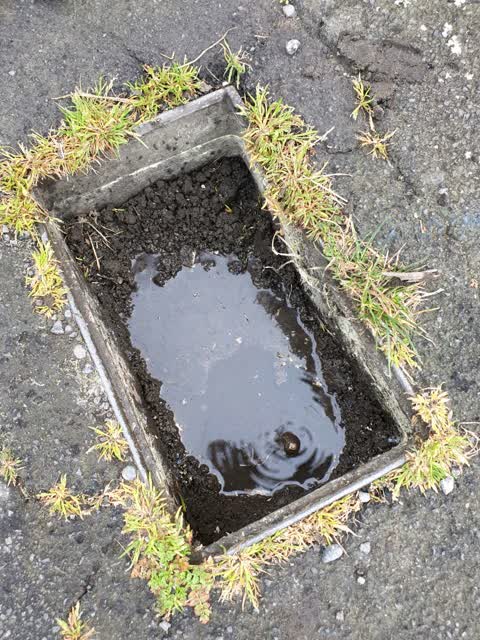
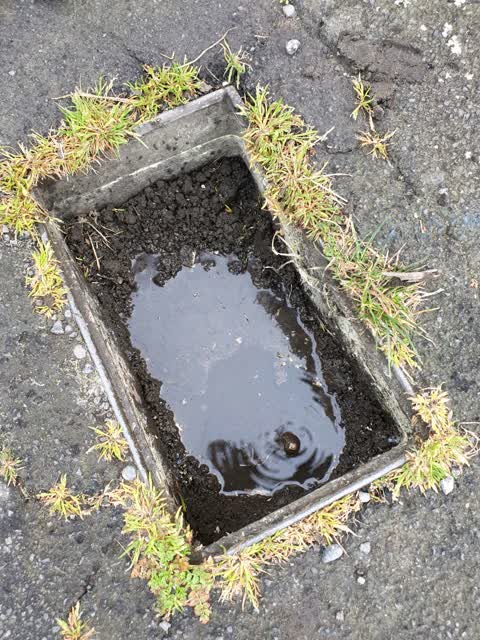
Water Supply —
Toby leaking badly, still leaking This is a duplicate report. The original report was sent on 02/09/2018.
Water Supply —
Toby leaking badly
Also reported on Nicholas Drive
- 2 Nicholas Drive — 10 reports
- 8 Nicholas Drive — 6 reports
- 30 Nicholas Drive — 4 reports
- 12 Nicholas Drive — 3 reports
- 7 Nicholas Drive — 2 reports
- 5 Nicholas Drive — 2 reports
- 2A Nicholas Drive — 2 reports
- 19 Nicholas Drive — 2 reports
The street’s crash record
NZTA’s record names Nicholas Drive in 3 crashes that hurt somebody since 2006 — 0 seriously hurt, nobody killed.
The green nearby
- Nicholas Playground — 4 m to the edge
- Bromley Park — 258 m to the edge · Sports ground · 4 ha
- Cuthberts Green — 288 m to the edge · Sports ground · 35 ha
- Merrilees Reserve — 406 m to the edge
Parks within half a kilometre, measured to the boundary — the council’s open data.
On the doorstep
- Mackenzies Hotel and Backpackers — 142 m away · Hostels
- McKenzies Hotel — 160 m away · Bars & pubs
- Super Liquor Pages Road — 164 m away · Bottle stores
- Mackenzies Bar & Motel — 171 m away · Bars & pubs
Businesses within four hundred metres, measured at the pin — OpenStreetMap and the council directories.
The bus nearby
The closest Metro stops, within four hundred and fifty metres.
The tracks through here
- Walk and bike track through Linwood — 76 m to the line · walk · bike
- Walk and bike track through Linwood — 100 m to the line · walk · bike
- Walk and bike track through Linwood — 235 m to the line · walk · bike
- Walk and bike track through Linwood — 347 m to the line · walk · bike
Tracks whose line passes within half a kilometre, measured to the line itself — the council’s open data.
Renting nearby
new bonds in Linwood ran about $478 a week — $72 below the city median of $550 — the suburb page keeps the rent record →.
The civic layer
This ground votes in Linwood ward — the Coastal-Burwood-Linwood community board. Ward lines don’t always follow suburb lines; this one is measured at the pin, not the suburb’s centre.
What stood on this ground → · On the map → · From the air — the Crown’s aerials back to 1936; search the address on RetroLens →
Questions, answered briefly
13 council reports on record since September 2018 — most often roading/streets (4), water supply (2), rubbish/recycling (2).
Linwood, Christchurch — on Nicholas Drive.
Nothing on the heritage register at this exact spot — the record around this ground →
Nicholas Playground — 4 m to its edge.