424 Armagh Street, Linwood
14 reports on record since June 2019 · 11 with photographs. The street’s heaviest record is 359 Armagh Street — 32 reports on file. Indicative rating valuation and school zones, hazards, bin day and what stood here before.
What gets reported here
Photographed here 11 on record


Reported here
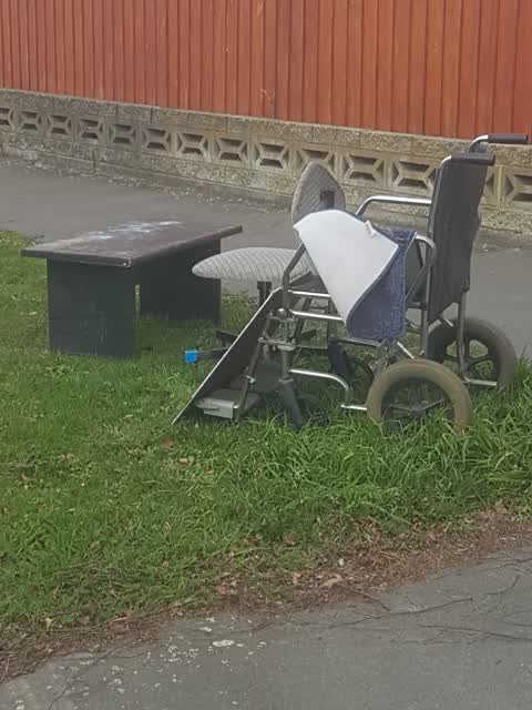
 Dumped Rubbish —
 Carpet underlay dumped on berm
 General Request —
 Building site has been untouched for >3 months, but developers have previously heavily modified berm, removed council tree and not replaced
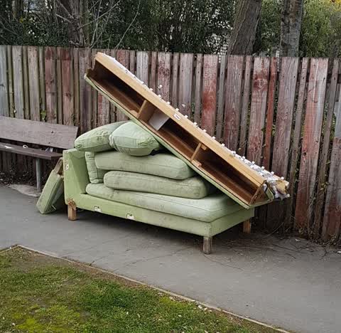
 Dumped Rubbish —
  Rubbish and Bins - General —
 This rubbish has been dumped by the tennant at 424 Armagh St who is moving out. The number plate of the van is a tradesman working at the ho
 Overgrown Vegetation —
 Tree needs trimming back from the footpath by 424 Armagh Street.
- Dumped Rubbish —
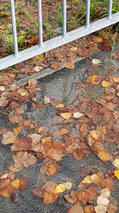
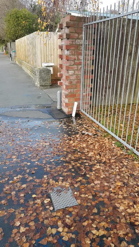
- Water Leak —
- Dumped Rubbish —
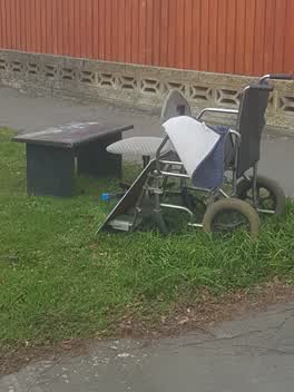 Rubbish/Recycling —
 This rubbish was dumped by a woman who drove away in the car photographed.
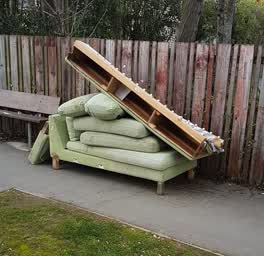 Rubbish/Recycling —
 The location is approximate.
Water Supply —
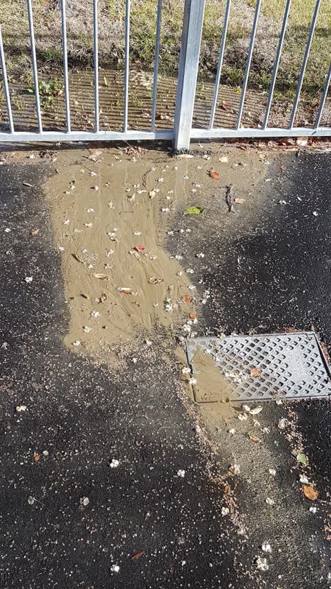
leaking water main, has been like this for over a week and has been like this before.
Graffiti —
Water Supply —
I reported this leak 2 weeks ago. it is now a fast flowing stream 1000s of litres.
Water Supply —
leaking water
Also reported on Armagh Street
- 359 Armagh Street — 32 reports
- 361 Armagh Street — 21 reports
- 512 Armagh Street — 17 reports
- 327 Armagh Street — 17 reports
- 510 Armagh Street — 15 reports
- 502 Armagh Street — 14 reports
- 494 Armagh Street — 14 reports
- 357A Armagh Street — 12 reports
The street’s crash record
NZTA’s record names Armagh Street in 16 crashes that hurt somebody since 2006 — 1 seriously hurt, nobody killed.
The green nearby
- Beverley Park — 186 m to the edge · 3 ha
- Worcester Pump Station Park — 264 m to the edge
- Doris Lusk Corner — 321 m to the edge
- William Brittan — 368 m to the edge
- Avon Riverbank Central City — 456 m to the edge · 6 ha
Parks within half a kilometre, measured to the boundary — the council’s open data.
On the doorstep
- The Old Countryhouse — 160 m away · Hostels
- Kiwi House — 169 m away · Hostels
- Old Country House — 181 m away · Hostels
- Pizza Hut — 207 m away · Restaurants
Businesses within four hundred metres, measured at the pin — OpenStreetMap and the council directories.
The bus nearby
- Gloucester St near Fitzgerald Ave — 168 m away · route 5
- Gloucester St near Stanmore Rd — 188 m away · route 5
The closest Metro stops, within four hundred and fifty metres.
The tracks through here
- Walk and bike track through Linwood — 12 m to the line · walk · bike
- Walk and bike track through Linwood — 180 m to the line · walk · bike
- Walk and bike track through Linwood — 216 m to the line · walk · bike
- Walk and bike track through Linwood — 314 m to the line · walk · bike
- Walk and bike track through Linwood — 348 m to the line · walk · bike
Tracks whose line passes within half a kilometre, measured to the line itself — the council’s open data.
The named ground
Named water within 500 m of this address, measured to the line or the edge; the council’s own structure register — bridges, boardwalks and steps standing nearby — the open map’s record.
The remembered names nearby
- These Gates Were Donated to the Linwood–avonside Croquet — 212 m away ·
These Gates were donated to the Linwood–Avonside Croquet Club by Miss Florence Collinson A
· 2009
Inscribed plaques within two hundred and fifty metres — the register’s pins, not surveyed spots. The whole roll is at /plaques.
Renting nearby
new bonds in Linwood ran about $478 a week — $72 below the city median of $550 — the suburb page keeps the rent record →.
The civic layer
This ground votes in Central ward — the Papanui-Innes-Central community board. Ward lines don’t always follow suburb lines; this one is measured at the pin, not the suburb’s centre.
What stood on this ground → · On the map → · From the air — the Crown’s aerials back to 1936; search the address on RetroLens →
Questions, answered briefly
14 council reports on record since June 2019 — most often dumped rubbish (4), water supply (3), rubbish/recycling (2).
Linwood, Christchurch — on Armagh Street.
Nothing on the heritage register at this exact spot — the record around this ground →
Beverley Park — 186 m to its edge, 3 ha.