54 Stanmore Road, Linwood
37 reports on record since February 2018 · 21 with photographs. The street’s heaviest record is 57 Stanmore Road — 49 reports on file. Indicative rating valuation and school zones, hazards, bin day and what stood here before.
What gets reported here
Photographed here 21 on record


Reported here
 Overgrown Vegetation —
 Council berm unmowed at Corner Cashel and Stanmore.437 Cashel.
 Overgrown Vegetation —
 long dry grass, Fire Hazzard
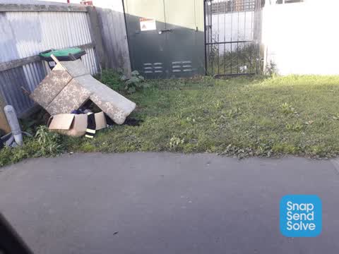
 Dumped Rubbish —
 Outside apartment block at 55 Stanmore Road a collection of loose rubbish ,cardboard and full CCC bins left. Maybe you can track the culprit
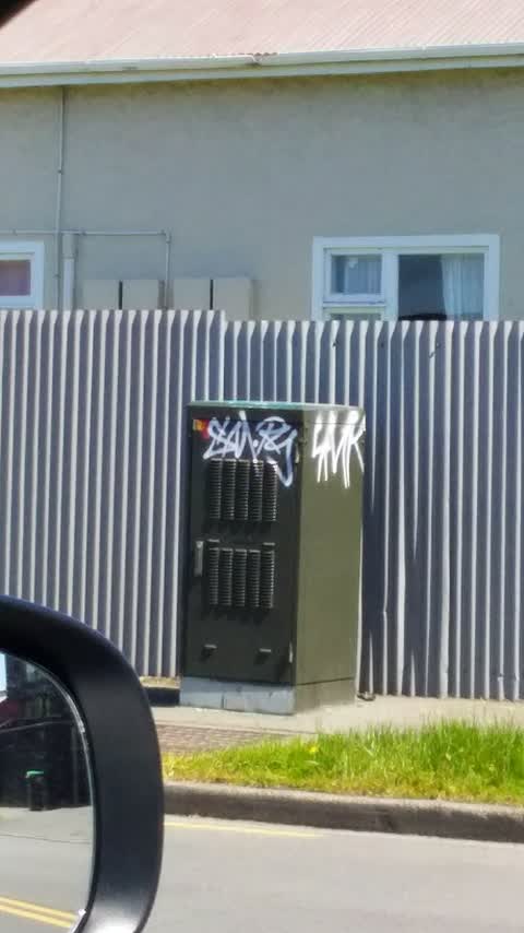
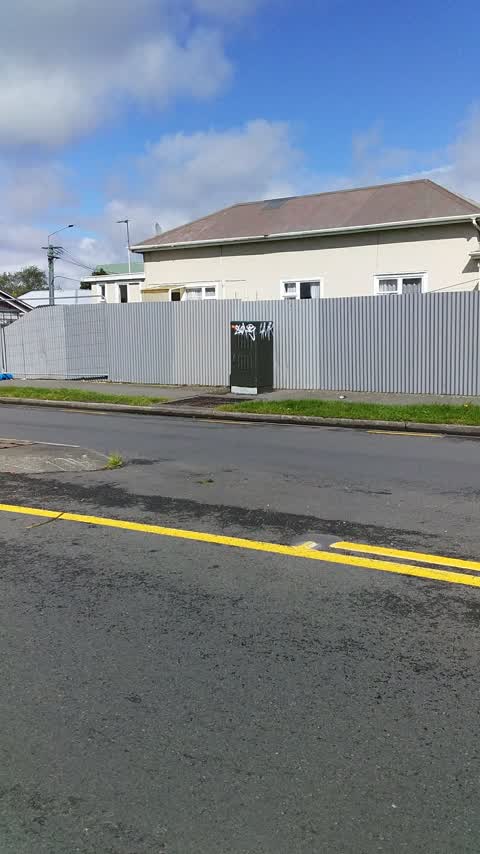
 Graffiti on a fence, building or structure —
 Just seen this lout in action.Using big marker pens.This tag is at corner of Stanmore Cashel,Wall outside 3/437 Cashel .
 Graffiti somewhere else —
  Graffiti on a fence, building or structure —
 Blue paint on white brick wall to be painted out by ourselves.
 Dumped Rubbish —
 Dumped blue couch
 Road Signage —
 Give Way sign needs realignment on Stanmore Road heading south at Cashel Street
 Accessibility —
 Right in the middle of the path
- Graffiti —
- Graffiti —
- Dumped Rubbish —
- Dumped Rubbish —
- Dumped Rubbish —
- Graffiti —
- Dumped Rubbish —
- Graffiti —
- Graffiti —
- Overgrown Vegetation —
- Graffiti —
- Graffiti —
- Graffiti —
- Dumped Rubbish —
- Dumped Rubbish —
- Graffiti —
 Rubbish/Recycling —
 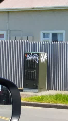 Graffiti —
 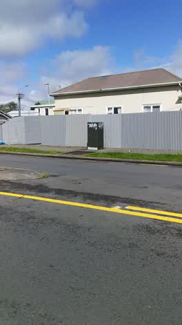 Graffiti —
 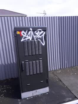 Graffiti —
 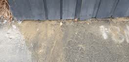 Water Supply —
 bubbling up from under the fence
Graffiti - General —
Graffiti —
Graffiti —
Rubbish/Recycling —
Address is 60 stanmore road
Rubbish/Recycling —
Rubbish/Recycling —
55
Graffiti —
Also reported on Stanmore Road
- 57 Stanmore Road — 49 reports
- 171 Stanmore Road — 45 reports
- 167 Stanmore Road — 37 reports
- 55 Stanmore Road — 24 reports
- 71A Stanmore Road — 21 reports
- 97 Stanmore Road — 20 reports
- 80 Stanmore Road — 20 reports
- 103 Stanmore Road — 18 reports
The street’s crash record
NZTA’s record names Stanmore Road in 117 crashes that hurt somebody since 2006 — 11 seriously hurt, nobody killed.
The green nearby
- Doris Lusk Corner — 154 m to the edge
- Essex Reserve — 260 m to the edge
- Raglan Reserve — 264 m to the edge
- Welcome Rest — 274 m to the edge
- Hereford Playground — 330 m to the edge
Parks within half a kilometre, measured to the boundary — the council’s open data.
On the doorstep
- Cashel Court Motel — 98 m away · Motels
- Re Sinclair — 99 m away · Car repair
- Expandatrack — 110 m away · Curtain
- Canterbury Trails — 124 m away · Guide
Businesses within four hundred metres, measured at the pin — OpenStreetMap and the council directories.
The bus nearby
- Stanmore Rd near Worcester St — 158 m away · route 60
- Stanmore Rd near Gloucester St — 277 m away · route 60
The closest Metro stops, within four hundred and fifty metres.
The tracks through here
- Walk and bike track through Linwood — 3 m to the line · walk · bike
- Walk and bike track through Linwood — 407 m to the line · walk · bike
- Walk and bike track through Linwood — 413 m to the line · walk · bike
- Walk and bike track through Linwood — 433 m to the line · walk · bike
- Walk and bike track through Linwood — 452 m to the line · walk · bike
Tracks whose line passes within half a kilometre, measured to the line itself — the council’s open data.
The named ground
the council’s own structure register — bridges, boardwalks and steps standing nearby — the open map’s record.
The remembered names nearby
- Doris Lusk Corner plaque — 173 m away · 2024
- Plaque no. 311001 — 217 m away · 2024
Inscribed plaques within two hundred and fifty metres — the register’s pins, not surveyed spots. The whole roll is at /plaques.
Renting nearby
new bonds in Linwood ran about $478 a week — $72 below the city median of $550 — the suburb page keeps the rent record →.
What was here — Former Linwood Town Board Offices and Setting
189 m away · 388 Worcester Street · located to ±14 m · the place’s own record →
On the register. Nothing researched here yet.
The civic layer
This ground votes in Central ward — the Papanui-Innes-Central community board. Ward lines don’t always follow suburb lines; this one is measured at the pin, not the suburb’s centre.
What stood on this ground → · On the map → · From the air — the Crown’s aerials back to 1936; search the address on RetroLens →
Questions, answered briefly
37 council reports on record since February 2018 — most often graffiti (15), dumped rubbish (8), rubbish/recycling (4).
Linwood, Christchurch — on Stanmore Road.
The heritage register names a place at or beside it — Former Linwood Town Board Offices and Setting.
Doris Lusk Corner — 154 m to its edge.