72 Rudds Road, Linwood
11 reports on record since August 2017 · 8 with photographs. The most-reported address on Rudds Road. Indicative rating valuation and school zones, hazards, bin day and what stood here before.
What gets reported here
- Hazard — vehicle — 4
- Roading/Streets — 3
- Road Signage — 1
- Pavement - General — 1
- Parks — 1
- Overgrown Vegetation — 1
Photographed here 8 on record


Reported here
 Pavement - General —
 Lids have been taken off these drains outside our house. We live beside 5 flats of elderly who use this to put their bins. Not safe. How can
 Hazard — vehicle —
 Same car parked here as the other day.
 Hazard — vehicle —
 2 cars parked illegally on the grass berm. CTR868 with expired rego and QNZ404 a repeat offender.
 Hazard — vehicle —
 Rugby is on at Linfield, people so keen to get to games, they forgot they can't park on yellow lines. No where for all the buses that are d
- Overgrown Vegetation —
- Road Signage —
- Hazard — vehicle —
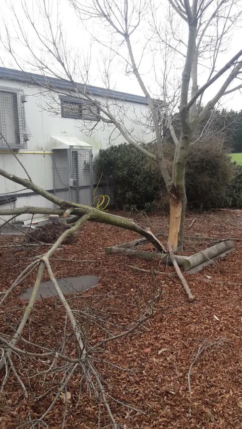
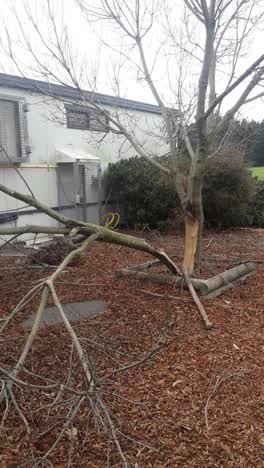 Parks —
 damaged tree
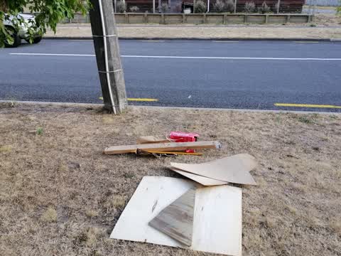
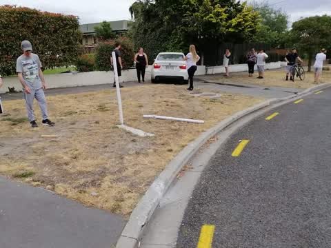
Roading/Streets —
Another car has taken the corner too fast. They managed to leave behind wood with nails facing upwards in the middle of the road out side ou
Roading/Streets —
Once again we have had an idiot speeding down Kearney Rd at over 80km/hr. Girl speed over speed bumps (that don't stop anyone) during a busy
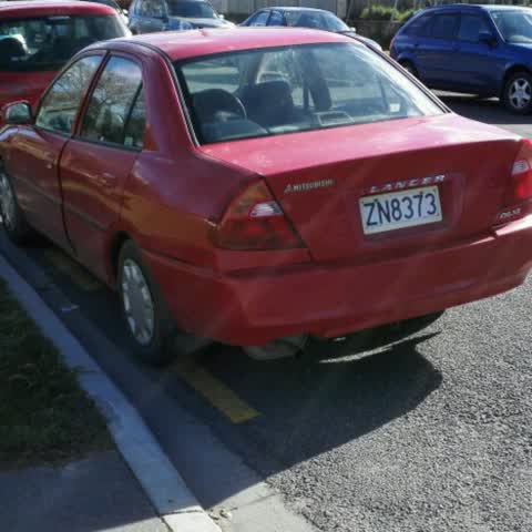
Roading/Streets —
I nearly hit this car backing out of my drive way. It is clearly parked on yellow lines and with in a meter of my drive way. It is on a dang
Also reported on Rudds Road
- 74 Rudds Road — 3 reports
- 62 Rudds Road — 3 reports
- 46 Rudds Road — 3 reports
- 14 Rudds Road — 3 reports
- 58 Rudds Road — 2 reports
- 22 Rudds Road — 2 reports
- 15 Rudds Road — 2 reports
- 68 Rudds Road — 1 report
The street’s crash record
NZTA’s record names Rudds Road in 2 crashes that hurt somebody since 2006 — 1 seriously hurt, nobody killed.
The green nearby
- Cuthberts Green — 44 m to the edge · Sports ground · 35 ha
- Merrilees Reserve — 252 m to the edge
- Nicholas Playground — 331 m to the edge
- Bromley Park — 461 m to the edge · Sports ground · 4 ha
Parks within half a kilometre, measured to the boundary — the council’s open data.
The civic shelf nearby
- Memorial Park Cemetery — 109 m away · Cemetery
- Linwood Cemetery — 435 m away · Cemetery
Libraries, halls and the rest within half a kilometre — the council’s open data.
On the doorstep
- Linfield Cultural, Recreational Sports Club — 192 m away · Clubs
- Linwood Squash Club — 192 m away · Clubs
- Canterbury Indoor Bowls — 286 m away · Clubs
Businesses within four hundred metres, measured at the pin — OpenStreetMap and the council directories.
The tracks through here
- Walk and bike track through Linwood — 466 m to the line · walk · bike
- Walk and bike track through Linwood — 468 m to the line · walk · bike
- Walk and bike track through Linwood — 471 m to the line · walk · bike
Tracks whose line passes within half a kilometre, measured to the line itself — the council’s open data.
The named ground
the council’s own structure register — bridges, boardwalks and steps standing nearby — the open map’s record.
The remembered names nearby
- Memorial Park Cemetery plaque — 123 m away · 2009
- Memorial Park Cemetery plaque — 147 m away · 2009
Inscribed plaques within two hundred and fifty metres — the register’s pins, not surveyed spots. The whole roll is at /plaques.
Renting nearby
new bonds in Linwood ran about $478 a week — $72 below the city median of $550 — the suburb page keeps the rent record →.
The civic layer
This ground votes in Linwood ward — the Coastal-Burwood-Linwood community board. Ward lines don’t always follow suburb lines; this one is measured at the pin, not the suburb’s centre.
What stood on this ground → · On the map → · From the air — the Crown’s aerials back to 1936; search the address on RetroLens →
Questions, answered briefly
11 council reports on record since August 2017 — most often hazard — vehicle (4), roading/streets (3), road signage (1).
Linwood, Christchurch — on Rudds Road.
Nothing on the heritage register at this exact spot — the record around this ground →
Cuthberts Green — 44 m to its edge, 35 ha.