18 Barclays Road
6 council reports since July 2017, 3 carrying a photograph. The street’s heaviest record is 12 Barclays Road, 7 reports on file.
The green nearby
- Heritage Park Little River, 41 m to the edge · 5 ha · playground, 26 pieces
Parks within half a kilometre, measured to the boundary, the council’s open data. The whole roll is at /parks.
The civic shelf nearby
- Little River Recycling Depot, 86 m away · Transfer station
- Little River Library, 343 m away · Library
- Little River Service Cen, 344 m away · Service centre
Libraries, halls and the rest within half a kilometre, the council’s open data.
On the doorstep
- Challenge, 226 m away · Petrol stations
- Junction Coffee & Eats, 233 m away · Cafés
- Vetlife, 246 m away · Vets
- Craft Station, 282 m away · Museums
Businesses within four hundred metres, measured at the pin, OpenStreetMap and the council directories.
The named ground
Named water within 500 m of this address, measured to the line or the edge; the council’s own structure register, bridges, boardwalks and steps standing nearby, the open map’s record.
What gets reported here
Photographed here 3 on record
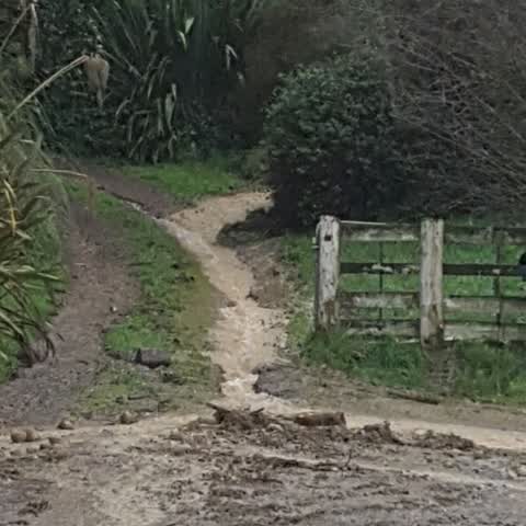
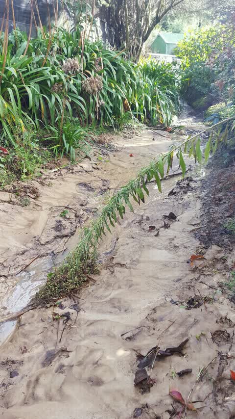
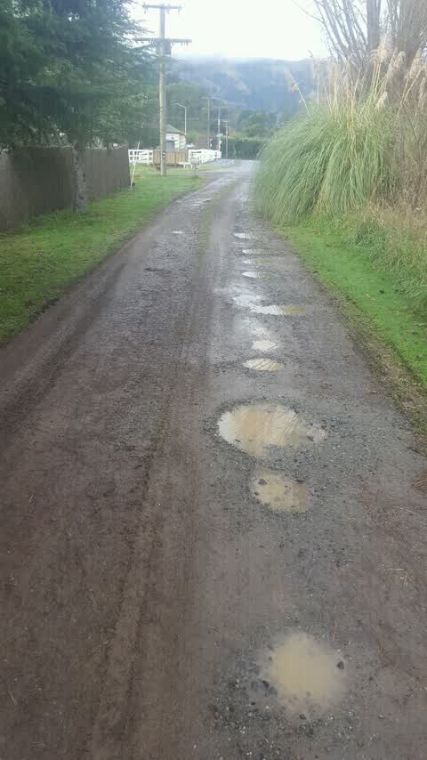
What’s on record
- Damaged Road, 3 Aug 2023
- Water Leak, 21 May 2023
- Damaged Road, 21 May 2023
Wastewater/Stormwater, 25 Jul 2017
As previously sent to get told to ring insurer these photos show that the problem is not on my land now I'm ringing the press journalist to
Wastewater/Stormwater, 23 Jul 2017
This is our culvert filled up with silt and clay from the runoff from 20 Barclays road all our culverts are blocked causing problems to dra
Roading/Streets, 8 Jul 2017
The pot holes in Barclays Road need repacking and vibrating down the grader pushes wants left of the gravel to the grass and they reappear w
Elsewhere on Barclays Road
- 12 Barclays Road, 7 reports
- 20 Barclays Road, 3 reports
- 10 Barclays Road, 2 reports
- 3 Barclays Road, 1 report
- 1 Barclays Road, 1 report
The street’s crash record
NZTA’s record names Barclays Road in 1 crash that hurt somebody since 2006, 0 seriously hurt, nobody killed.
The civic layer
This ground votes in Banks Peninsula ward, the Banks Peninsula community board is its local layer. Ward lines don’t always follow suburb lines; this one is measured at the pin, not the suburb’s centre. The whole roll is at /wards.
Barclays Road, the whole record → · Everything about Little River → · What stood on this ground → · On the map → · From the air, RetroLens holds the Crown’s aerials back to 1936; search the address there →
Questions, answered briefly
6 council reports on record since July 2017, most often wastewater/stormwater (2), damaged road (2), water leak (1).
Little River, Christchurch, on Barclays Road.
Nothing on the heritage register at this exact spot, the record around this ground →
Heritage Park Little River, 41 m to its edge, 5 ha.