Heritage Park Little River
5 ha
From the air
Where it sits
Its centre falls inside Little River, suburb membership is a centroid call, not a claim the whole park lies inside the outline.
The camping bylaw names this ground, Little River Restricted Area: two nights in certified self-contained vehicles only. The zone drawings sit at /rules.
More green in Little River
- Te Oka Reserve, Regional · 912 ha
- Birdlings Flat, Regional · 90 ha
- Awa-Iti Domain · 5 ha
- Morice Reserve, Sports ground · 2 ha
- Little River Education House · 1 ha
- Okuti Esplanade Reserve
- Little River Esplanade Reserve
- Little River Bowling Green
What’s built on this ground
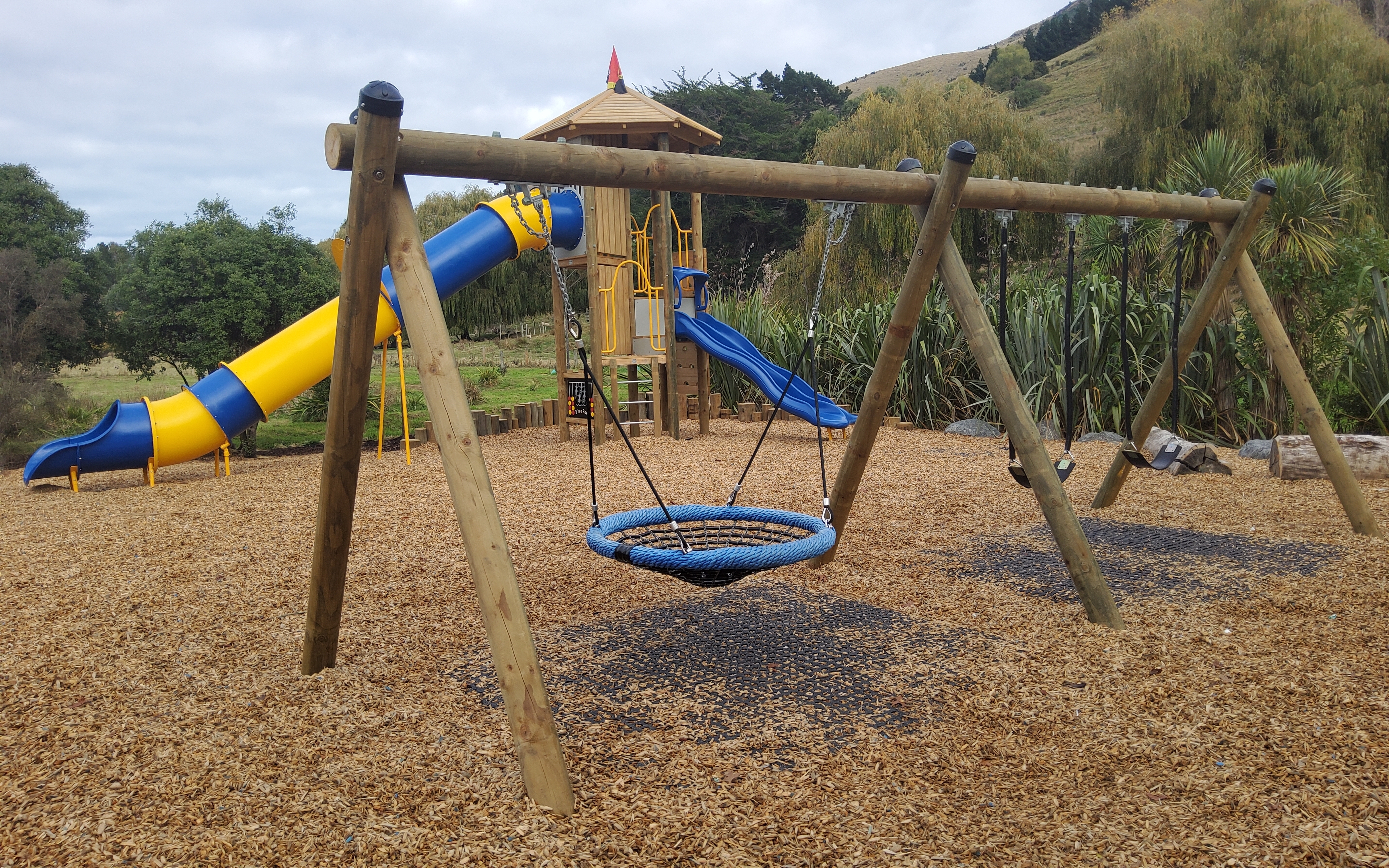
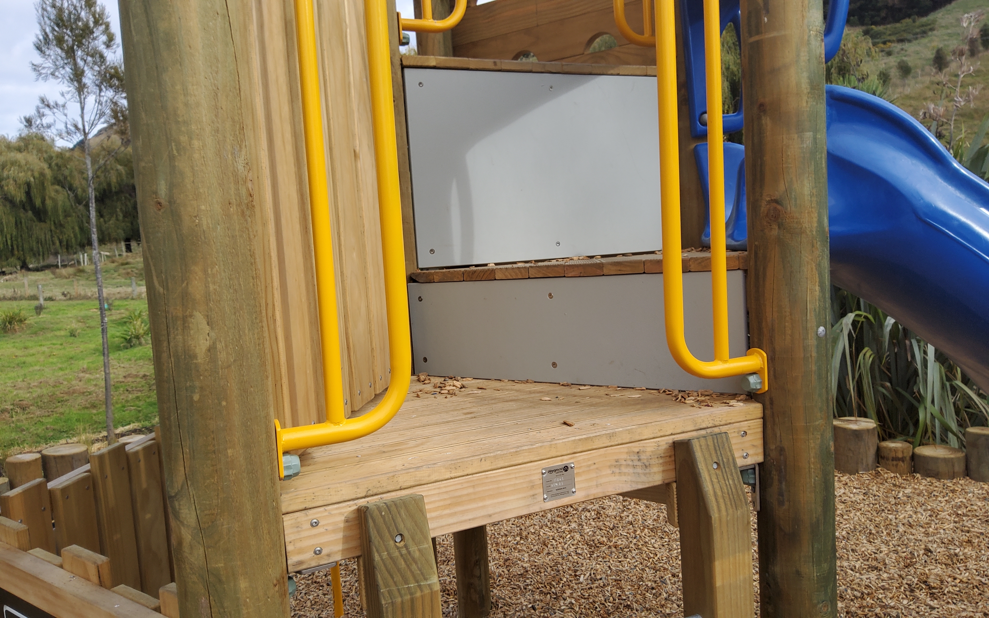
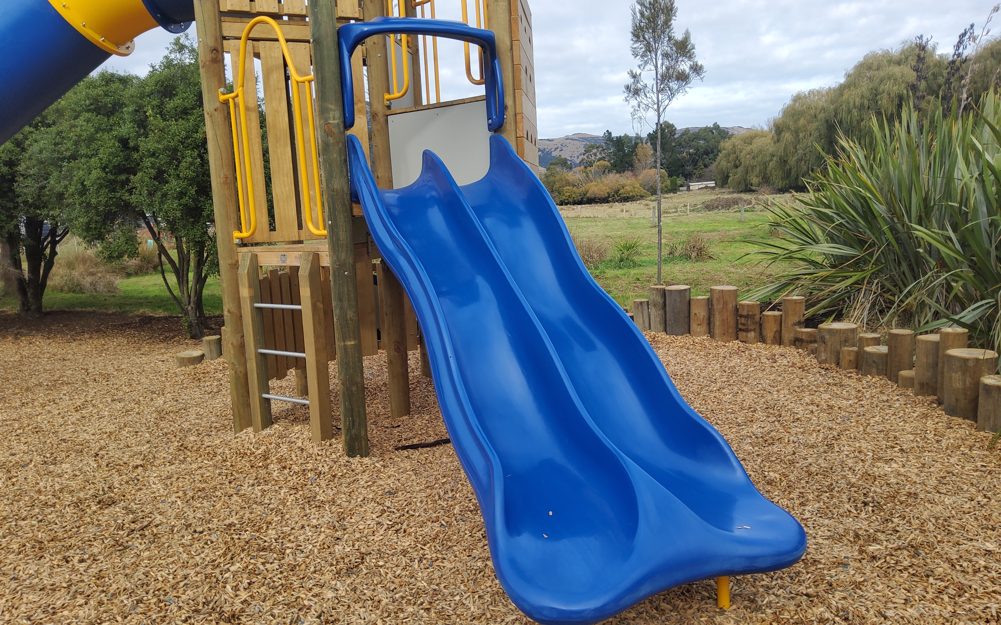
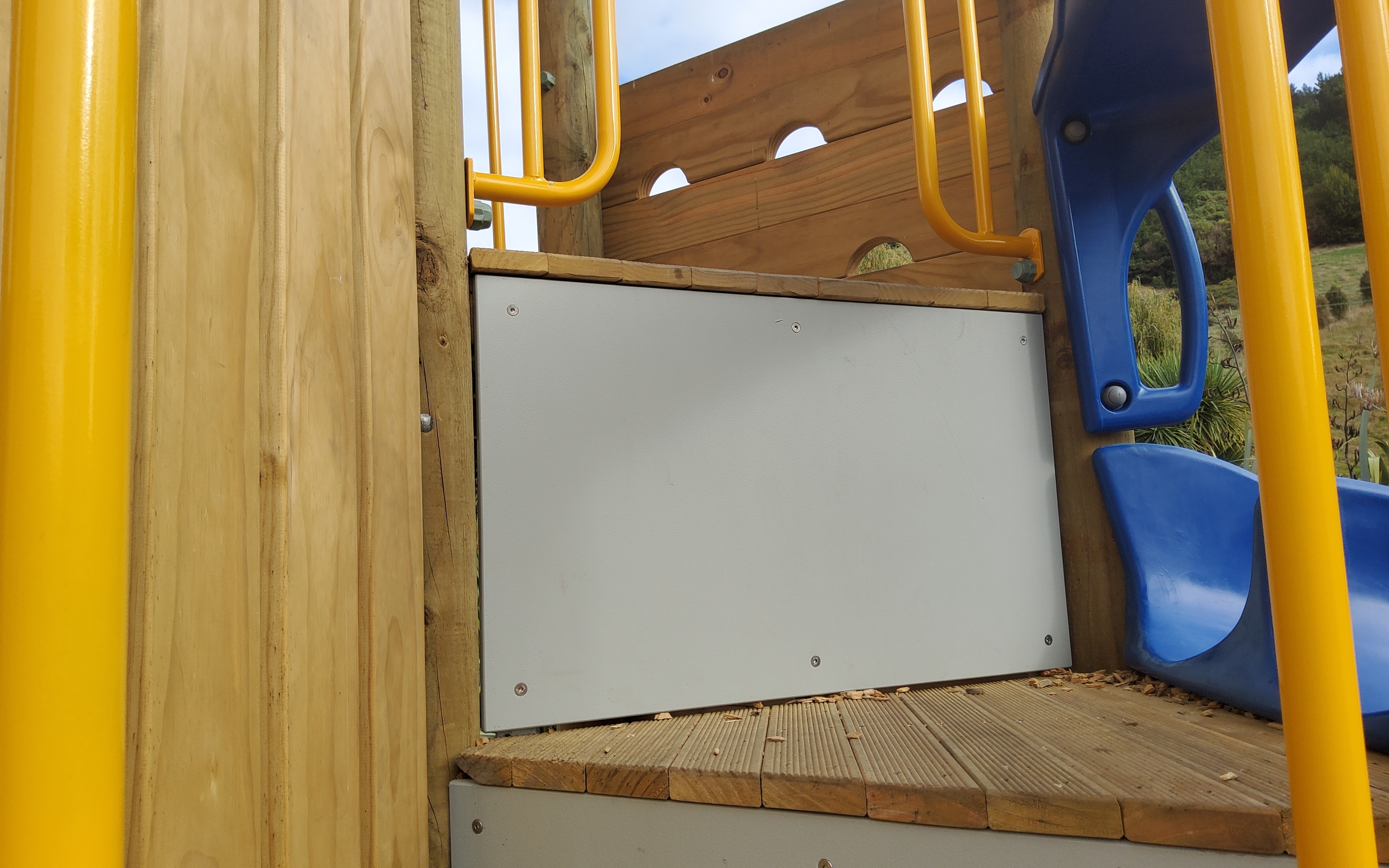
A playground stands here, the register counts 25 pieces of play equipment (4 platforms, 3 steps, 3 obstacles, 2 swings, 1 slide, 1 tunnel slide, 1 ladders, 1 firemans pole and 1 other kind) plus 1 modular unit on a marked playground ground, the highest rated fall 5 m.
Also on the register: 1 seat (1 seat) and 7 picnic tables.
The register’s commission dates run 2008 to 2021.
The register’s site tag names this park, and its pins stand inside the drawn outline, two views of the same ground.
The plaques on this ground
Inscribed plaques whose pin stands inside the park's drawn outline, the remembered names the register keeps here.
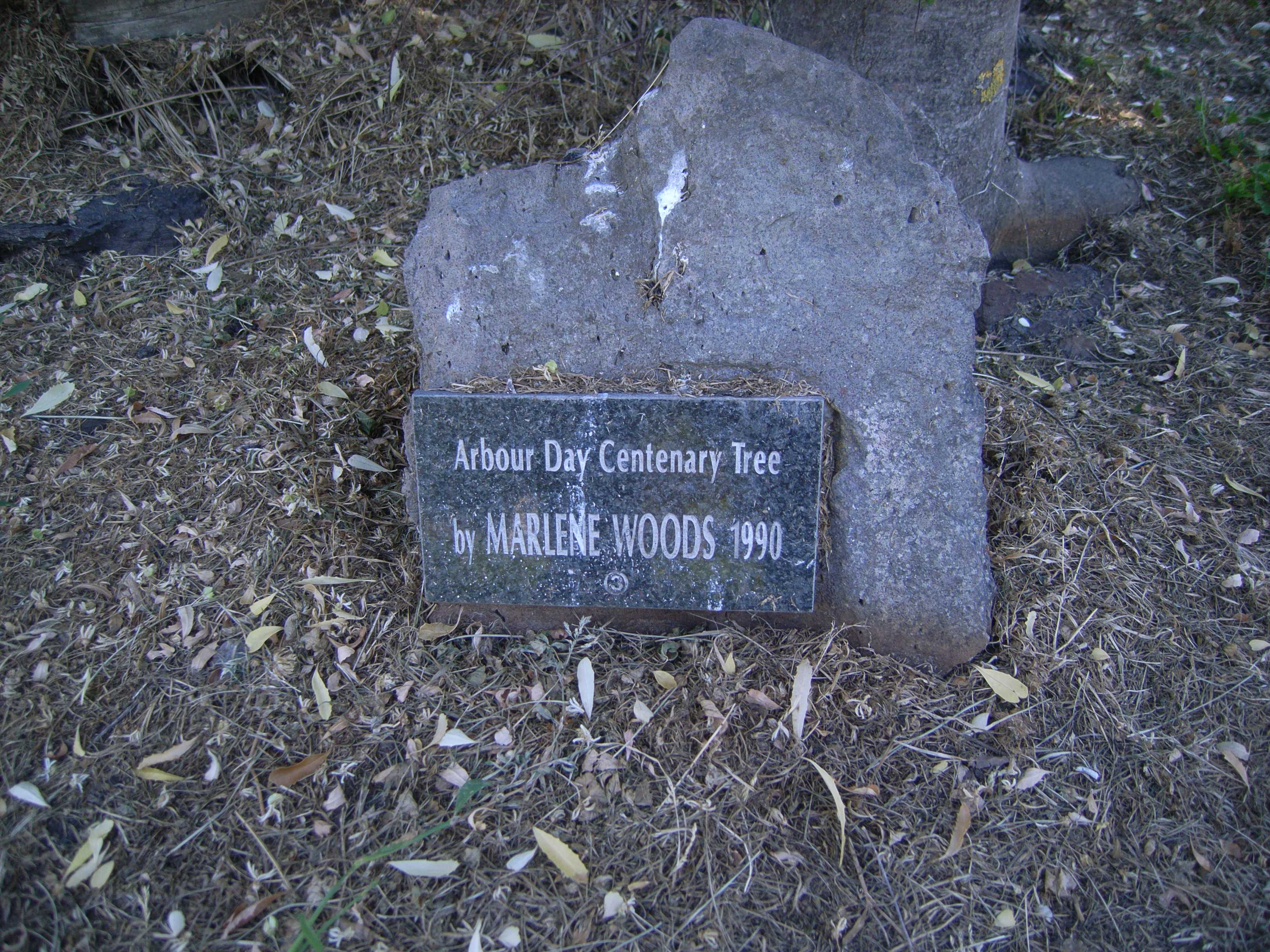 Arbour Day Centenary Tree by Marlene Woods 1990 · 2008
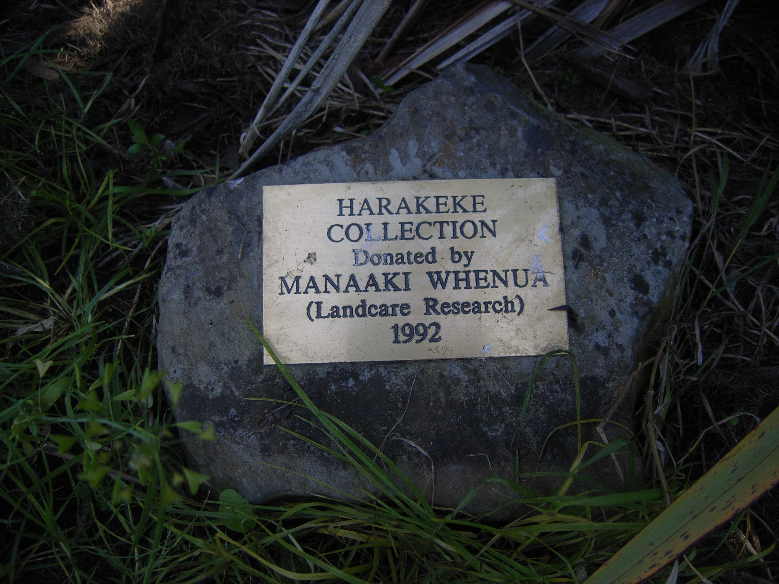 Harakeke Collection Donated by Manaaki Whenua · 2008
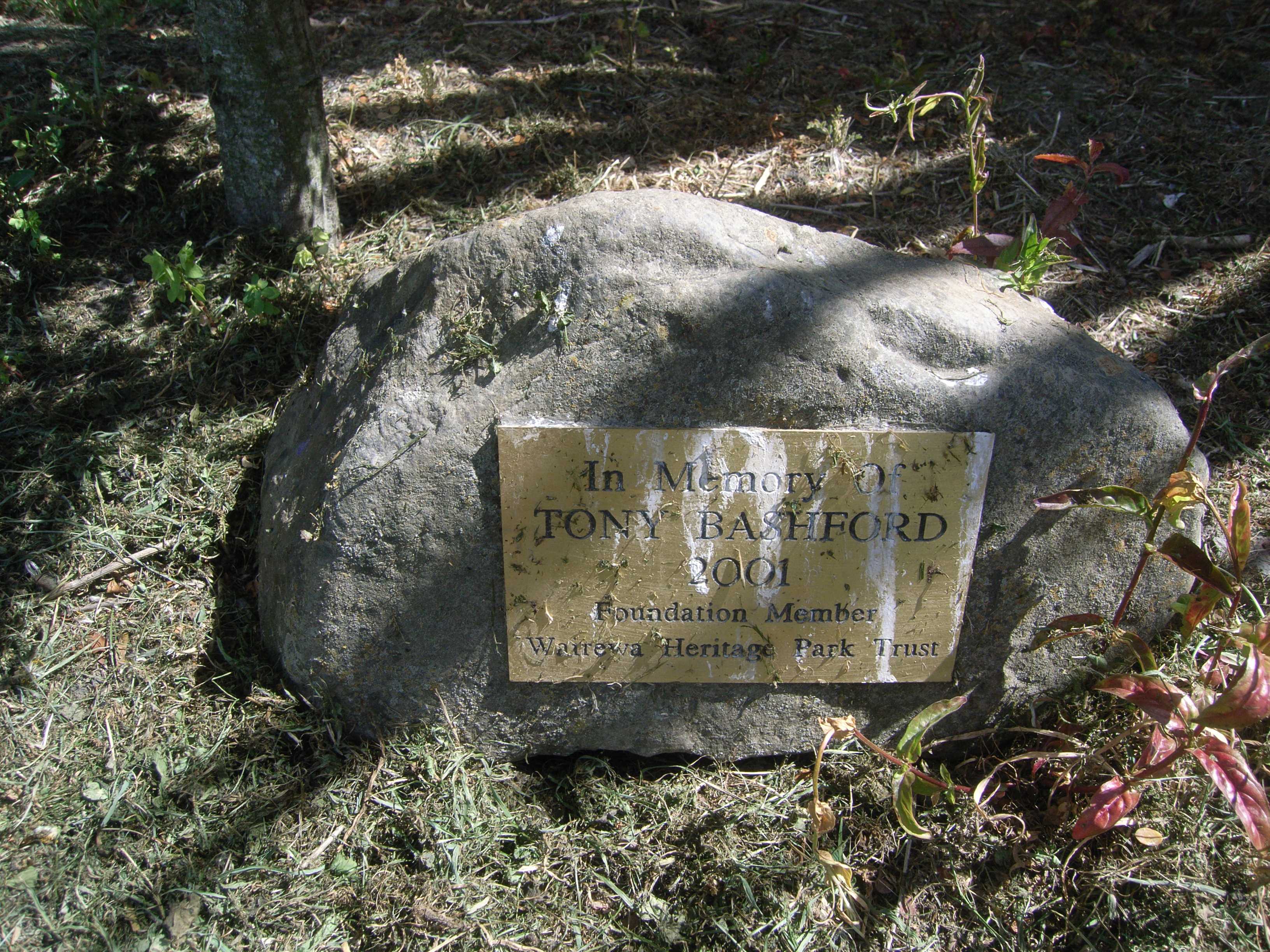 In Memory of Tony Bashford 2001 Foundation Member Wairewa · 2008
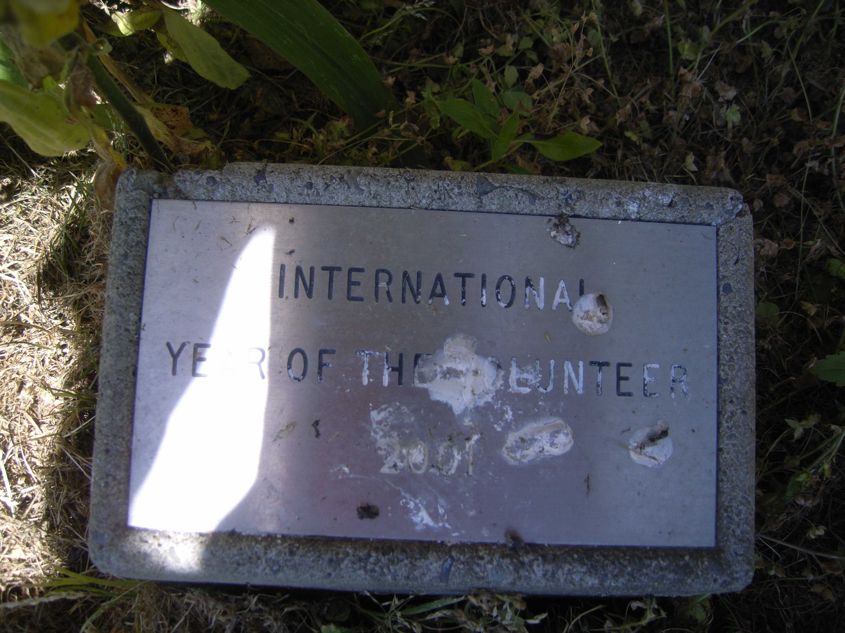 International Year of the Volunteer 2001 · 2008
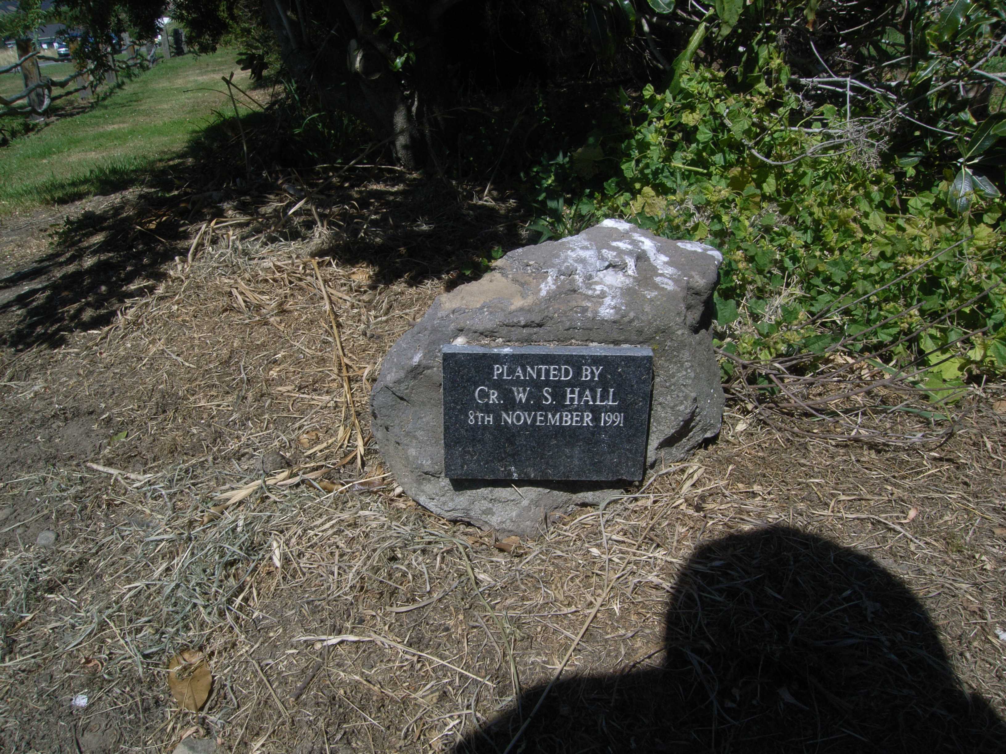 Planted by Cr · 2008
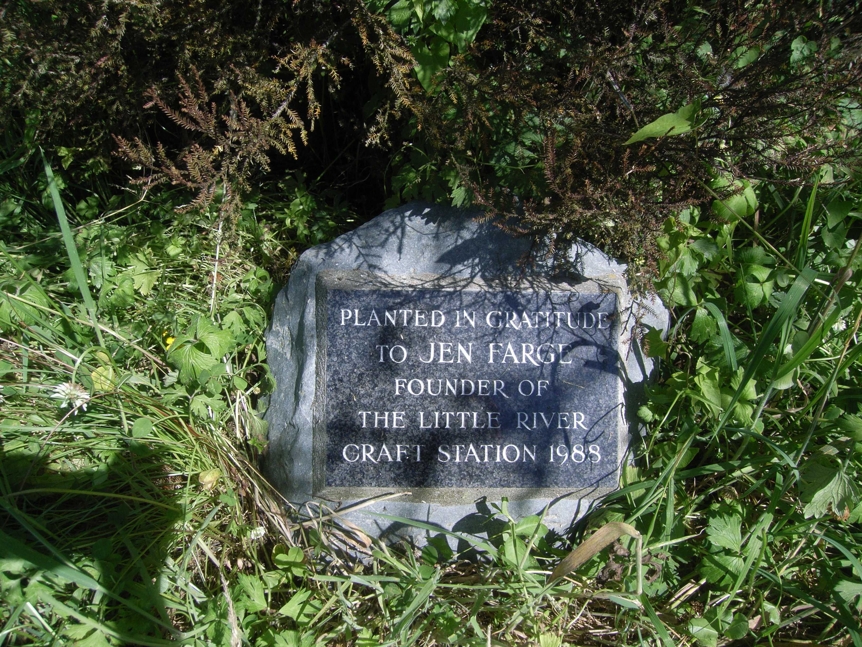 Planted in Gratitude to Jen Farge Founder of the Little · 2008
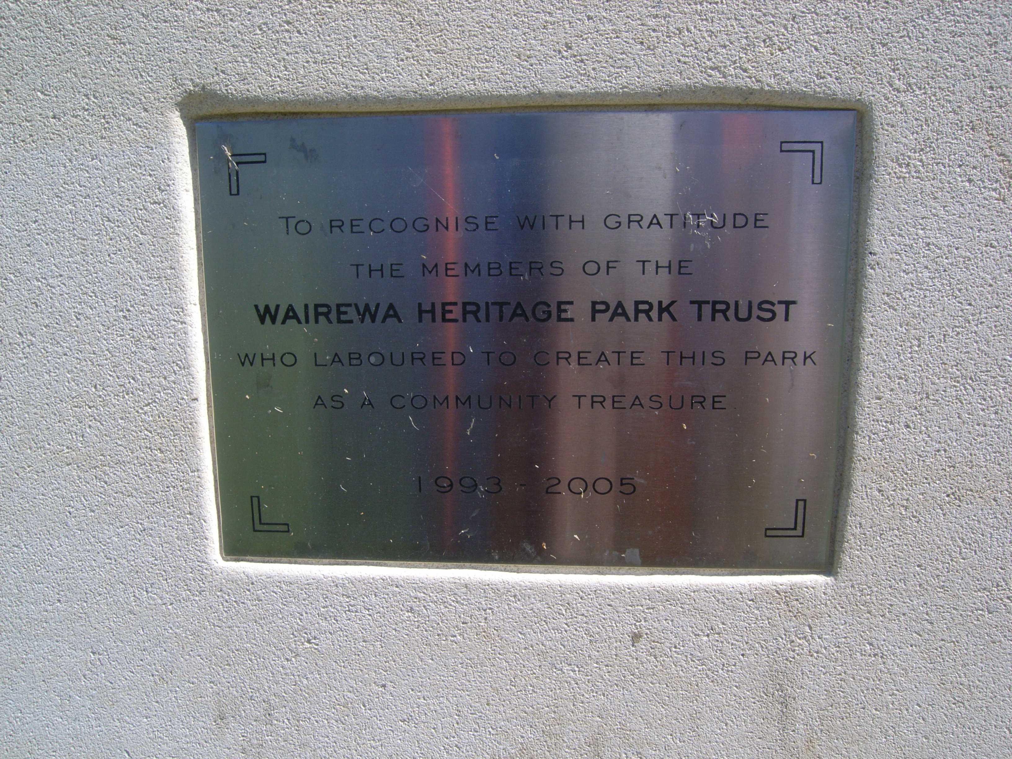 To Recognise With Gratitude the Members of the Wairewa · 2008
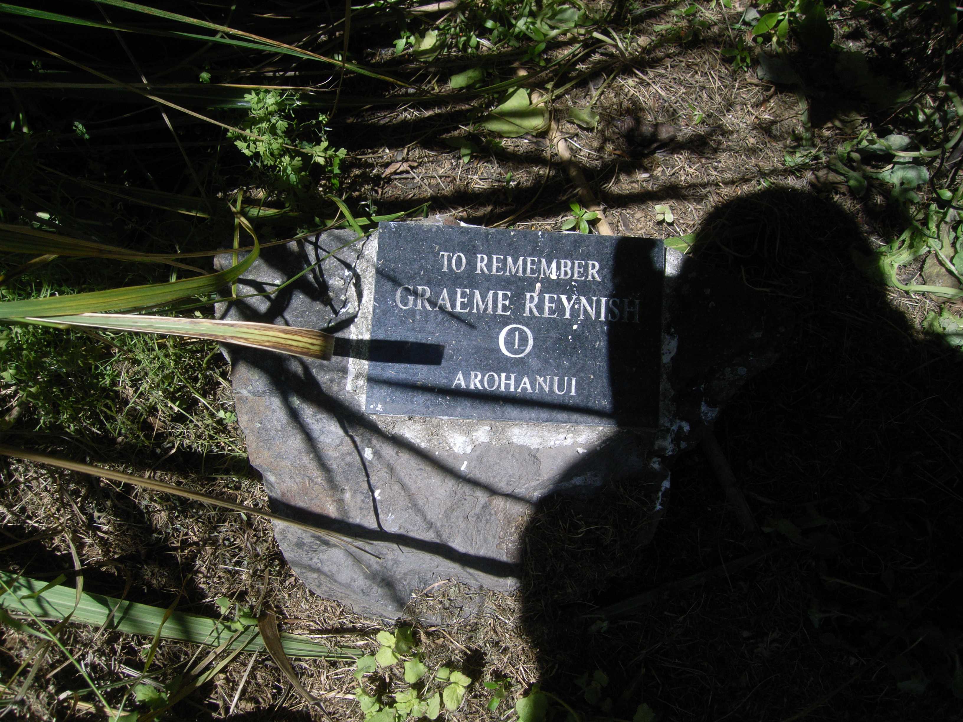 To Remember Graeme Reynish / Arohanui · 2008
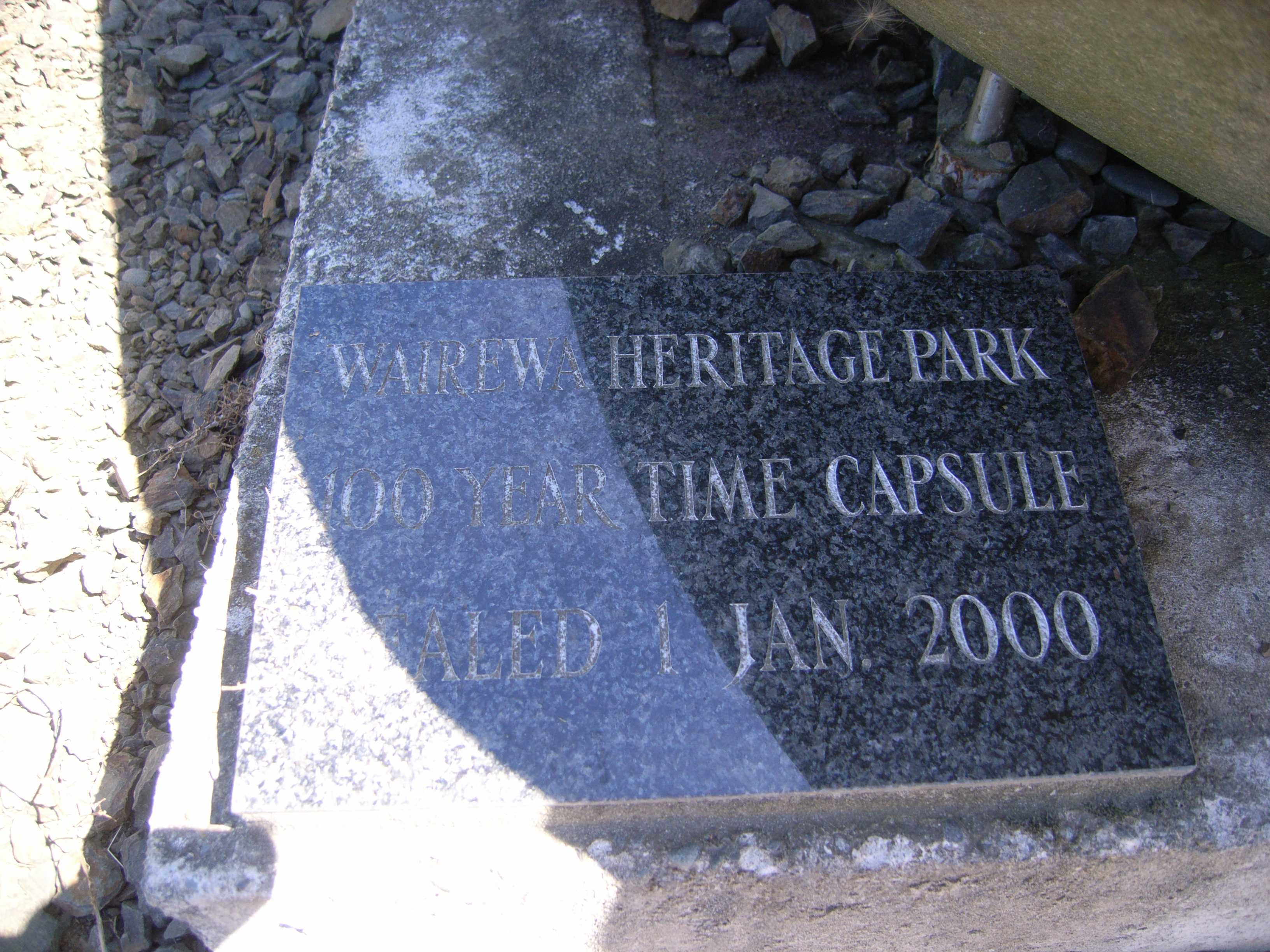 Wairewa Heritage Park 100 Year Time Capsule Sealed 1 Jan · 2008
The civic shelf inside
Libraries, toilets, courts and the rest whose point falls inside the park’s drawn outline, the ground in use, the way a register pin is the ground remembered.
- Little River Recycling Depot, Transfer station
The reports on this ground
66 reports pinned inside the park's drawn outline, most often Trees & parks and Water & drains, 46 with a photograph. A pin is where a reporter stood, not a claim about the whole park.
 Street Cleaning, 4237B Christchurch Akaroa Road, Little River 7591, New Zealand · 28 August 2026
 Water General, Canterbury, Little River 7591, New Zealand · 13 April 2026
 General Request, Canterbury, Little River 7591, New Zealand · 9 March 2026
 Flooding, Canterbury, Little River 7591, New Zealand · 1 March 2026
 Water Leak, Canterbury, Little River 7591, New Zealand · 13 January 2026
 Accessibility, 4235A Christchurch-Akaroa Rd, Canterbury, Little River 7591, New Zealand · 10 January 2026
 Water Leak, 4223 State Highway 75, Little River 7591, New Zealand · 9 January 2026
 Water Leak, 4223 State Highway 75, Little River 7591, New Zealand · 9 January 2026
 Rubbish and Bins - General, 4243A Christchurch Akaroa Road, Little River 7591, New Zealand · 30 December 2025
 Water Leak, Canterbury, Little River 7591, New Zealand · 1 December 2025
 Park - General Request, 4223 State Highway 75, Little River 7591, New Zealand · 31 October 2025
 Park - General Request, 10 Barclays Road, Little River 7591, New Zealand · 15 October 2025
Environment Canterbury / Canterbury Maps, Parks layer · refreshed 10 October 2026.
What stood on this ground before → · On the map →
Questions, answered briefly
5 hectares by the layer’s own polygon.
Its centre falls inside Little River, a centroid call, not a claim the whole park lies inside the outline.
A park or reserve.
Environment Canterbury’s open Parks layer, kind, size and suburb read straight from it.