4189 State Highway 75
1 council report since April 2022, 1 carrying a photograph. The street’s heaviest record is 4223 State Highway 75, 4 reports on file.
The green nearby
- Heritage Park Little River, 91 m to the edge · 5 ha · playground, 26 pieces
Parks within half a kilometre, measured to the boundary, the council’s open data. The whole roll is at /parks.
The civic shelf nearby
- Little River Recycling Depot, 221 m away · Transfer station
- Little River Library, 473 m away · Library
- Little River Service Cen, 474 m away · Service centre
Libraries, halls and the rest within half a kilometre, the council’s open data.
On the doorstep
- Challenge, 361 m away · Petrol stations
- Junction Coffee & Eats, 368 m away · Cafés
- Vetlife, 383 m away · Vets
Businesses within four hundred metres, measured at the pin, OpenStreetMap and the council directories.
The named ground
Named water within 500 m of this address, measured to the line or the edge; the council’s own structure register, bridges, boardwalks and steps standing nearby, the open map’s record.
What gets reported here
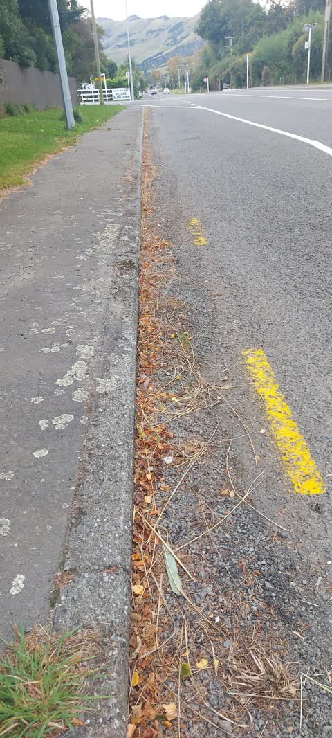
Photographed here 1 on record
What’s on record
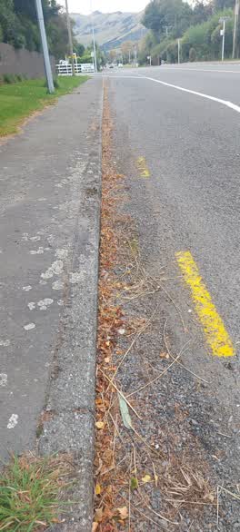 Roading/Streets, 16 Apr 2022
 Excess gravel from road surfacing on paths. I slipped whilst running and damaged knee 2 weeks ago. Very slippery and dangerous.
Elsewhere on State Highway 75
- 4223 State Highway 75, 4 reports
- 4230 State Highway 75, 2 reports
- 4097-4103 State Highway 75, 2 reports
- 4312 State Highway 75, 1 report
- 4165 State Highway 75, 1 report
The civic layer
This ground votes in Banks Peninsula ward, the Banks Peninsula community board is its local layer. Ward lines don’t always follow suburb lines; this one is measured at the pin, not the suburb’s centre. The whole roll is at /wards.
State Highway 75, the whole record → · Everything about Little River → · What stood on this ground → · On the map → · From the air, RetroLens holds the Crown’s aerials back to 1936; search the address there →
Questions, answered briefly
1 council report on record since April 2022, most often roading/streets (1).
Little River, Christchurch, on State Highway 75.
Nothing on the heritage register at this exact spot, the record around this ground →
Heritage Park Little River, 91 m to its edge, 5 ha.