4235A 4235A
2 council reports since January 2021, 2 carrying a photograph.
The green nearby
- Heritage Park Little River, you are in it · 5 ha · playground, 26 pieces
Parks within half a kilometre, measured to the boundary, the council’s open data. The whole roll is at /parks.
The civic shelf nearby
- Little River Library, 65 m away · Library
- Little River Service Cen, 66 m away · Service centre
- Little River Recycling Depot, 204 m away · Transfer station
Libraries, halls and the rest within half a kilometre, the council’s open data.
On the doorstep
- Craft Station, 7 m away · Museums
- Little River Information Museum, 16 m away · Gift shops
- Vetlife, 35 m away · Vets
- Junction Coffee & Eats, 49 m away · Cafés
Businesses within four hundred metres, measured at the pin, OpenStreetMap and the council directories.
The named ground
Named water within 500 m of this address, measured to the line or the edge; the council’s own structure register, bridges, boardwalks and steps standing nearby, the open map’s record.
The remembered names nearby
- In Memory of Tony Bashford 2001 Foundation Member Wairewa, 184 m away ·
In Memory of TONY BASHFORD 2001 Foundation Member Wairewa Heritage Park Trust
· 2008 - Planted in Gratitude to Jen Farge Founder of the Little, 224 m away ·
PLANTED IN GRATITUDE TO JEN FARGE FOUNDER OF THE LITTLE RIVER CRAFT STATION 1988
· 2008 - To Remember Graeme Reynish / Arohanui, 237 m away ·
TO REMEMBER GRAEME REYNISH / AROHANUI
· 2008
Inscribed plaques within two hundred and fifty metres, the register’s pins, not surveyed spots. The whole roll is at /plaques.
What gets reported here
- Parks, 2
Photographed here 2 on record
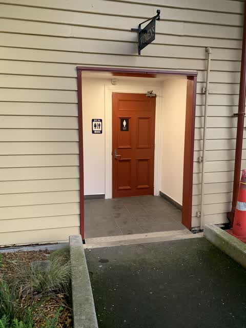
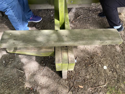
What’s on record
The civic layer
This ground votes in Banks Peninsula ward, the Banks Peninsula community board is its local layer. Ward lines don’t always follow suburb lines; this one is measured at the pin, not the suburb’s centre. The whole roll is at /wards.
Everything about Little River → · What stood on this ground → · On the map → · From the air, RetroLens holds the Crown’s aerials back to 1936; search the address there →
Questions, answered briefly
2 council reports on record since January 2021, most often parks (2).
Little River, Christchurch, on A.
Nothing on the heritage register at this exact spot, the record around this ground →
Heritage Park Little River, the address is inside it, 5 ha.