4313 Christchurch-Akaroa Road, Little River
11 reports on record since June 2022 · 6 with photographs. The street’s heaviest record is 4235A Christchurch Akaroa Road — 40 reports on file. Indicative rating valuation and school zones, hazards, bin day and what stood here before.
What gets reported here
- Vandalism - General — 4
- Water Leak — 2
- Playground Equipment — 1
- Parks — 1
- Park - General Request — 1
- Overgrown Vegetation — 1
Photographed here 6 on record



Reported here
 Playground Equipment —
 Kia ora, can the back board at the basketball half court in Little River get repainted please.
 Park - General Request —
 Attached is a photo of the fenced off area in Awa-it’s Domain, Little River where a couple of the historic Osage Orange tress have re seeded
 Water Leak —
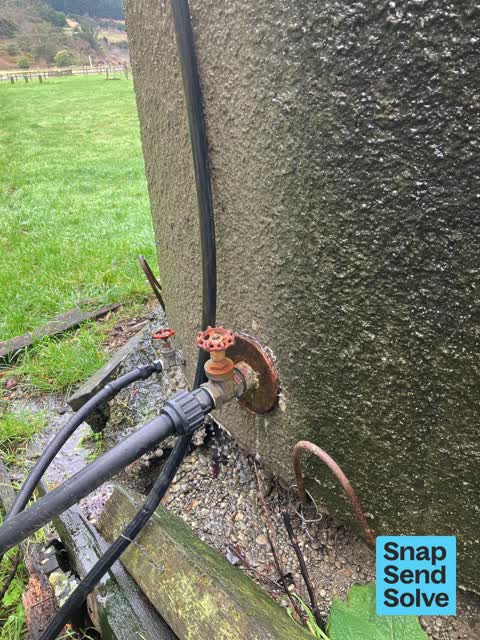
 Concrete water tank near sheep yards in behind little river coronation library is leaking.
 Vandalism - General —
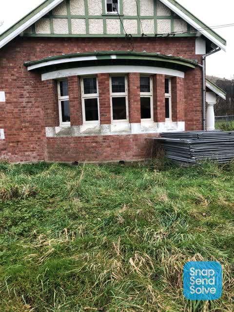
 Breaking glass window and door
- Vandalism - General —
- Vandalism - General —
- Overgrown Vegetation —
- Vandalism - General —
- Water Leak —
 Graffiti —
 Window smashed. Interior vandalised
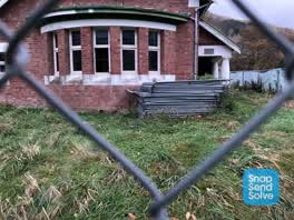 Parks —
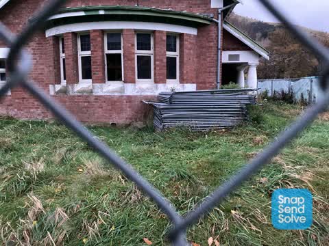
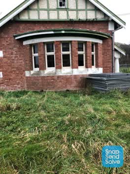
 Window open in disused Coronation Library historic building. Will smash or vandalism will occur
Also reported on Christchurch-Akaroa Road
- 4235A Christchurch Akaroa Road — 40 reports
- 4238 Christchurch Akaroa Road — 9 reports
- 4310 Christchurch Akaroa Road — 8 reports
- 4235 Christchurch Akaroa Road — 6 reports
- 4267 Christchurch Akaroa Road — 5 reports
- 4190 Christchurch Akaroa Road — 5 reports
- 4236 Christchurch Akaroa Road — 4 reports
- 4207 Christchurch Akaroa Road — 4 reports
The street’s crash record
NZTA’s record names Christchurch-Akaroa Road in 28 crashes that hurt somebody since 2006 — 3 people killed, 14 seriously hurt.
The green nearby
- Awa-Iti Domain — you are in it · 5 ha
- Heritage Park Little River — 278 m to the edge · 5 ha
- Western Valley Streamside Esplanade — 361 m to the edge
Parks within half a kilometre, measured to the boundary — the council’s open data.
On the doorstep
- Banks Peninsula Rugby Football Club — 166 m away · Clubs
- Mountain Road Outdoors — 249 m away · Bike shops
Businesses within four hundred metres, measured at the pin — OpenStreetMap and the council directories.
The named ground
Named water within 500 m of this address, measured to the line or the edge; the council’s own structure register — bridges, boardwalks and steps standing nearby — the open map’s record.
The remembered names nearby
- This Stone Was Laid by J. o. Coop — 34 m away ·
THIS STONE WAS LAID BY J. O. COOP. J. P. CHAIRMAN OF THE WAIREWA COUNTY COUNCIL ANZAC DAY
· 2008 - This Stone Commemorates the Public Spirit and Generosity — 40 m away ·
THIS STONE COMMEMORATES THE PUBLIC SPIRIT AND GENEROSITY OF THOMAS QUEALY FOR FIFTY YEARS
· 2008
Inscribed plaques within two hundred and fifty metres — the register’s pins, not surveyed spots. The whole roll is at /plaques.
The civic layer
This ground votes in Banks Peninsula ward — the Banks Peninsula community board. Ward lines don’t always follow suburb lines; this one is measured at the pin, not the suburb’s centre.
What stood on this ground → · On the map → · From the air — the Crown’s aerials back to 1936; search the address on RetroLens →
Questions, answered briefly
11 council reports on record since June 2022 — most often vandalism - general (4), water leak (2), playground equipment (1).
Little River, Christchurch — on Christchurch-Akaroa Road.
Nothing on the heritage register at this exact spot — the record around this ground →
Awa-Iti Domain — the address is inside it, 5 ha.