1 Ticehurst Road, Lyttelton
21 reports on record since August 2020 · 12 with photographs. The most-reported address on Ticehurst Road. Indicative rating valuation and school zones, hazards, bin day and what stood here before.
What gets reported here
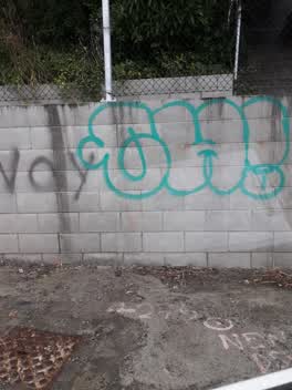
- Graffiti — 6
- Water Supply — 3
- Overgrown Vegetation — 2
- Litter — 2
- Flooding — 2
- Vandalism - General — 1
Photographed here 12 on record


Reported here
 Overgrown Vegetation —
 So much old man's beard. Just logging it for the record, all above the tunnel, perhaps NZTA land?
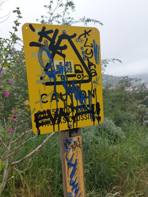
 Graffiti somewhere else —
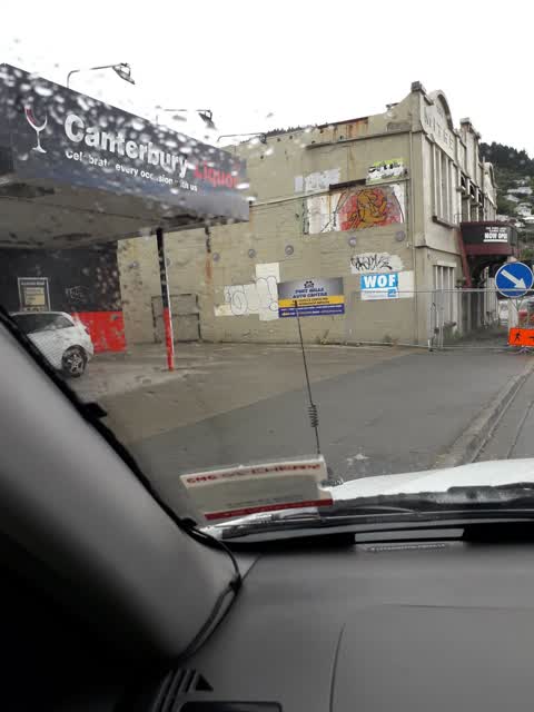
 Above the tunnel Lyttelton side hit once again by pro-Palastein.
 Vandalism - General —
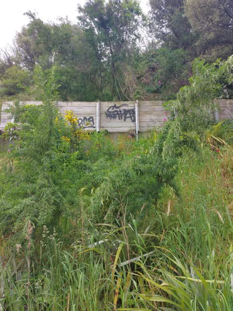
 Tagging on retaining wall, below Cunningham Tce, visible from the steps. Also temporary fencing and two road cones in the bushes.
 Pavement - Damaged —
 The wire next to a public bench is broken with a hole large enough for a child to fall through, the drop below is significant. New fencing
- Sewer - Leak / Blockage —
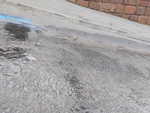
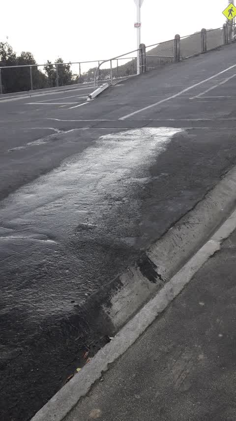
- Flooding —
- Street Gutters / Storm Water —
- Flooding —
- Graffiti —
- Sewer General —
- Litter —
- Overgrown Vegetation —
 Litter —
 Cunningham Tce above the tunnel - a dozen cans/bottles
 Graffiti —
  Graffiti —
 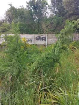 Graffiti —
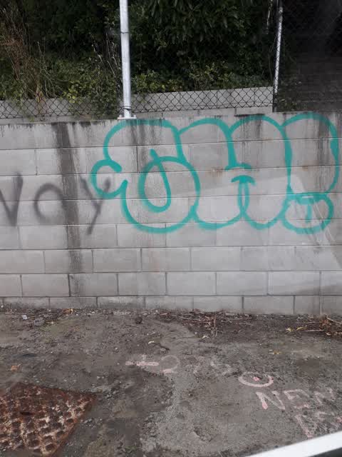
 Graffiti on ccc wall
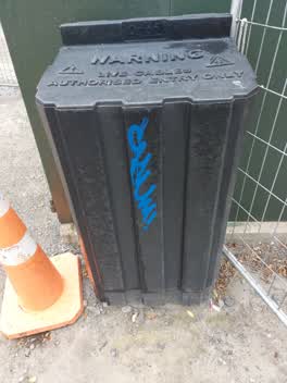 Graffiti —
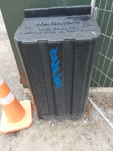
 Graffiti on Orion box
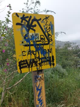 Graffiti —
 Graffiti on ccc sign
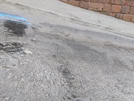 Water Supply —
 Been leaking for a few days
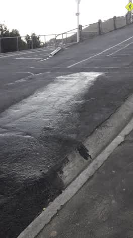 Water Supply —
 leaking pipe
- Water Supply —
pipe leak at the corner of Bridle Path & Cunningham Terrace, Lyttelton
Also reported on Ticehurst Road
- 8 Ticehurst Road — 11 reports
- 14 Ticehurst Road — 4 reports
- 34 Ticehurst Road — 3 reports
- 18 Ticehurst Road — 2 reports
- 5A Ticehurst Road — 1 report
- 39 Ticehurst Road — 1 report
- 32B Ticehurst Road — 1 report
- 29 Ticehurst Road — 1 report
The green nearby
- Lyttelton War Memorial — you are in it
- Simeon Quay Reserve — 101 m to the edge
- Sutton Reserve — 125 m to the edge · Botanic
- Albion Square — 319 m to the edge · Botanic
- Shackleton Reserve — 413 m to the edge
Parks within half a kilometre, measured to the boundary — the council’s open data.
The civic shelf nearby
- Lyttelton Library — 348 m away · Library · 29 Winchester St, Lyttelton 8082
- Lyttelton Service Centre — 371 m away · Service centre
Libraries, halls and the rest within half a kilometre — the council’s open data.
On the doorstep
- Ground Food Tours — 62 m away · Attractions
- Volo Jetski Adventures — 125 m away · Attractions
- Tissiman House Repairs — 128 m away · Carpenters
- Stark Brothers Engineering — 152 m away · Boatbuilder
Businesses within four hundred metres, measured at the pin — OpenStreetMap and the council directories.
The bus nearby
- Dublin St near Norwich Qy — 137 m away · route 8, route 155
- Norwich Qy near Dublin St — 204 m away · route 8, route 155
The closest Metro stops, within four hundred and fifty metres.
The tracks through here
- Walk and bike track through Lyttelton — 292 m to the line · walk · bike
Tracks whose line passes within half a kilometre, measured to the line itself — the council’s open data.
The named ground
Named places within 1.5 km of this address; the council’s own structure register — bridges, boardwalks and steps standing nearby — the open map’s record.
The remembered names nearby
- In Memory of Stanley James Helms 1947 - 1997 in Recognition — 149 m away ·
IN MEMORY OF STANLEY JAMES HELMS 1947 - 1997 IN RECOGNITION OF STAN'S LIFELONG COMMITMENT
· 2008 - In Memory — 159 m away ·
IN MEMORY OF (TEXT PARTIALLY OBSCURED)
· 2008 - ‘ohinehou’ / This Carving Represents ‘hinehouroko’ — 164 m away ·
‘Ohinehou’ / This carving represents ‘Hinehouroko’. / She along with her people inhabited
· 2012
Inscribed plaques within two hundred and fifty metres — the register’s pins, not surveyed spots. The whole roll is at /plaques.
Renting nearby
new bonds in Lyttelton ran about $600 a week — $50 above the city median of $550 — the suburb page keeps the rent record →.
What was here — Dwelling and Setting, Islay Cottage
22 m away · 1 Ticehurst Road · located to ±9 m · the place’s own record →
On the register. Nothing researched here yet.
What was here — Dwelling and Setting
87 m away · 2 Cunningham Terrace · located to ±11 m · the place’s own record →
On the register. Nothing researched here yet.
What was here — Dwelling and Setting
228 m away · 7 Coleridge Terrace · located to ±10 m · the place’s own record →
On the register. Nothing researched here yet.
What was here — Dwelling and Setting
243 m away · 6 Coleridge Terrace · located to ±11 m · the place’s own record →
On the register. Nothing researched here yet.
The civic layer
This ground votes in Banks Peninsula ward — the Banks Peninsula community board. Ward lines don’t always follow suburb lines; this one is measured at the pin, not the suburb’s centre.
What stood on this ground → · On the map → · From the air — the Crown’s aerials back to 1936; search the address on RetroLens →
Questions, answered briefly
21 council reports on record since August 2020 — most often graffiti (6), water supply (3), overgrown vegetation (2).
Lyttelton, Christchurch — on Ticehurst Road.
The heritage register names 4 places at or beside it — Dwelling and Setting, Islay Cottage, Dwelling and Setting.
Lyttelton War Memorial — the address is inside it.