15 London Street
9 council reports since May 2022, 8 carrying a photograph. The street’s heaviest record is 44A London Street, 21 reports on file.
On the register here
- Commercial Building and Setting, 15 London Street (9m)
- Commercial Building and Setting, 14 London Street (24m)
- Commercial Building and Setting, 18 London Street (24m)
- Commercial Building and Setting, Former Maher's Drapery, 31 London Street (60m)
- Commercial Building and Setting, 20 Oxford Street (86m)
From the air, then
Sourced from Canterbury Maps and partners. RNZAF, CC BY 3.0 NZ. Each frame is cut from Environment Canterbury’s historic imagery MapServer for that decade, only where the Footprints layer names a CC BY survey (NZAM-covered spots stay out). RetroLens holds more Crown aerials →
The green nearby
- Sumner Road Gardens, 80 m to the edge
- Baden Norris Reserve, 82 m to the edge
- Albion Square, 126 m to the edge · Botanic · playground, 2 pieces
- Oxford Street Reserve, 132 m to the edge · Botanic · playground, 4 pieces
- Sutton Reserve, 270 m to the edge · Botanic
Parks within half a kilometre, measured to the boundary, the council’s open data. The whole roll is at /parks.
The civic shelf nearby
- Lyttelton Service Centre, 70 m away · Service centre
- Lyttelton Library, 94 m away · Library
- Lyttelton Cemetery, 270 m away · Cemetery
- Lyttelton Anglican Cemetery, 431 m away · Cemetery
Libraries, halls and the rest within half a kilometre, the council’s open data.
On the doorstep
- The Lyttel Kiwi, 12 m away · Gift shops
- SuperValue Lyttelton, 13 m away · Supermarkets
- The Lyttelton Arms, 16 m away · Bars & pubs
- Bomba, 17 m away · Restaurants
Businesses within four hundred metres, measured at the pin, OpenStreetMap and the council directories.
The bus nearby
- Oxford Street near Winchester Street, 107 m away · route 8, route 155
- Norwich Quay near Canterbury St, 125 m away · route 8, route 155
The closest Metro stops, within four hundred and fifty metres.
The named ground
Named places within 1.5 km of this address; the council’s own structure register, bridges, boardwalks and steps standing nearby, the open map’s record.
The remembered names nearby
- J. C. Grubb Mayor S. R. Webb Ex-Mayor Chairman Fire, 91 m away ·
J. C. GRUBB MAYOR S. R. WEBB EX-MAYOR CHAIRMAN FIRE PREVENTION COMMITTEE 1902
· 2008 - Erected to Commemorate Coronation of King Edward VII August, 95 m away ·
ERECTED TO COMMEMORATE CORONATION OF KING EDWARD VII AUGUST 9 1902
· 2008 - Canterbury Centenary 1850 1950 on This Site Stood the House, 101 m away ·
CANTERBURY CENTENARY 1850 1950 ON THIS SITE STOOD THE HOUSE ERECTED BY THE CANTERBURY ASSO
· 2008
Inscribed plaques within two hundred and fifty metres, the register’s pins, not surveyed spots. The whole roll is at /plaques.
Renting nearby
new bonds in Lyttelton ran about $600 a week, $50 above the city median of $550, the suburb page keeps the rent record →.
What gets reported here
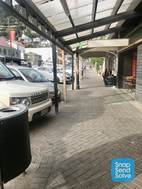
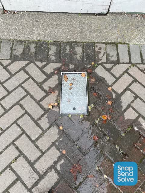
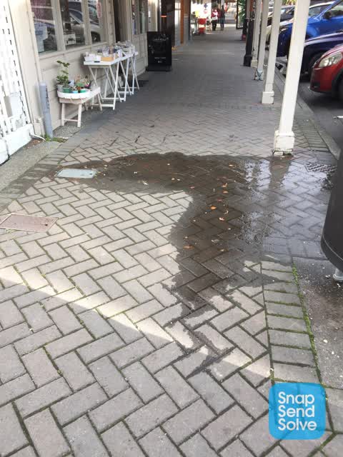
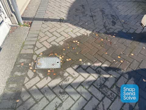
Photographed here 8 on record


What’s on record
 Sediment - Construction, 15 Jul 2026
Looks like little fertiliser pellets have been scattered on London St and lower Oxford Streets, Lyttelton. Quite extensive. Can CCC clean th
 Water Leak, 28 Feb 2026
Water leak
 Rubbish and Bins - General, 23 Nov 2025
 Graffiti on a fence, building or structure, 26 Dec 2024
Graffiti on Spark phone box.
- Dumped Rubbish, 28 May 2023
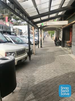 Roading/Streets, 17 Jun 2022
The Verandah posts supporting the overhead roof structure above the footpath kave been structurally damaged and there is potential for the r
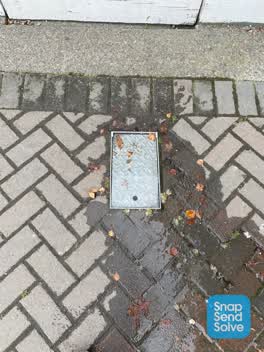 Roading/Streets, 5 Jun 2022
This continues to leak outside 15 London Street in Lyttelton despite you telling me you have fixed it. The water is leaking into the cellar
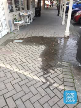 Roading/Streets, 2 Jun 2022
Will be dangerous if there is a frost
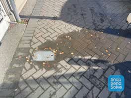 Roading/Streets, 27 May 2022
Water hydrant is overflowing outside Lyttel Kiwi on London Street
Elsewhere on London Street
- 44A London Street, 21 reports
- 44 London Street, 21 reports
- 19 London Street, 17 reports
- 24 London Street, 13 reports
- 47 London Street, 12 reports
- 40 London Street, 12 reports
- 2 London Street, 12 reports
- 20 London Street, 10 reports
The street’s crash record
NZTA’s record names London Street in 4 crashes that hurt somebody since 2006, 0 seriously hurt, nobody killed.
The civic layer
This ground votes in Banks Peninsula ward, the Banks Peninsula community board is its local layer. Ward lines don’t always follow suburb lines; this one is measured at the pin, not the suburb’s centre. The whole roll is at /wards.
London Street, the whole record → · Everything about Lyttelton → · What stood on this ground → · On the map → · From the air, RetroLens holds the Crown’s aerials back to 1936; search the address there →
Questions, answered briefly
9 council reports on record since May 2022, most often roading/streets (4), water leak (1), sediment - construction (1).
Lyttelton, Christchurch, on London Street.
The heritage register names 5 places at or beside it, Commercial Building and Setting, Commercial Building and Setting.
Sumner Road Gardens, 80 m to its edge.