18 Canterbury Street, Lyttelton
21 reports on record since February 2018 · 18 with photographs. The street’s heaviest record is 25 Canterbury Street — 36 reports on file. Indicative rating valuation and school zones, hazards, bin day and what stood here before.
What gets reported here
Photographed here 18 on record




Reported here
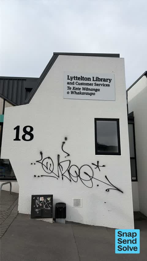
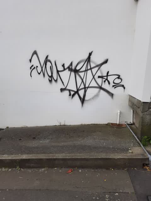
 Graffiti on a fence, building or structure —
Graffiti
 Graffiti on a fence, building or structure —
Graffiti
 Graffiti on a fence, building or structure —
Just graffiti in the Lyttelton library
 Graffiti on a fence, building or structure —
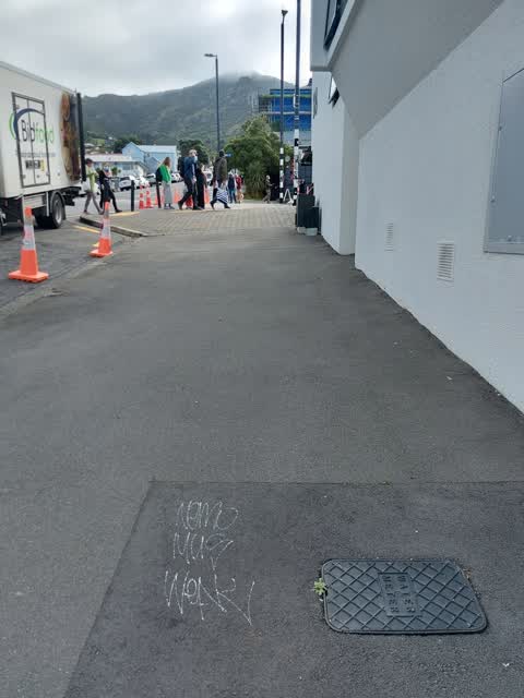
 Graffiti on a road, footpath or bridge —
 Graffiti on a fence, building or structure —
 Water Leak —
water pouring down London st lyttelton
 Poles and Signage - General —
This graffiti is just one example but is on all the back and white crossing poles as well as lampposts on London St Lyttelton - the township
 Damaged Road —
The yellow plastic tactiles at London Canterbury intersection are coming loose and one is a bit of a trip hazard.
- Graffiti —
- Graffiti —
- Vandalism - General —
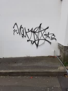 Graffiti —
Graffiti on 5 Canterbury Street
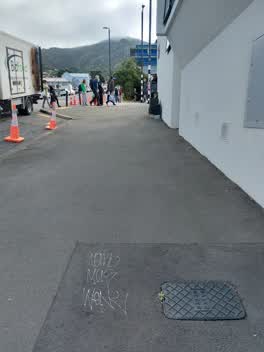 Graffiti —
Graffiti on footpath outside Lyttelton library on Canterbury St
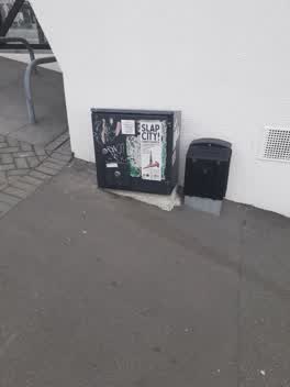 Graffiti —
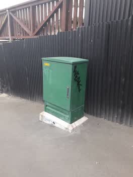 Graffiti —
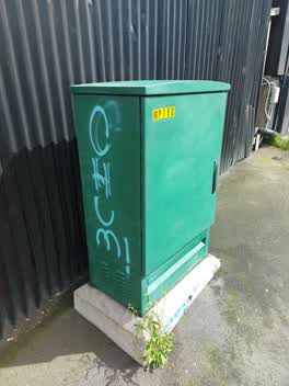 Graffiti —
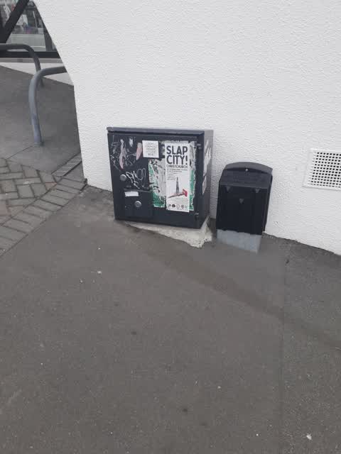
Graffiti on unknown box
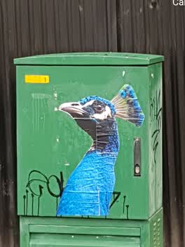 Graffiti —
Graffiti —
Graffiti —
Also reported on Canterbury Street
- 25 Canterbury Street — 36 reports
- 79 Canterbury Street — 15 reports
- 33B Canterbury Street — 11 reports
- 33 Canterbury Street — 11 reports
- 31 Canterbury Street — 9 reports
- 93 Canterbury Street — 7 reports
- 7 Canterbury Street — 7 reports
- 10 Canterbury Street — 7 reports
The street’s crash record
NZTA’s record names Canterbury Street in 6 crashes that hurt somebody since 2006 — 1 seriously hurt, nobody killed.
The green nearby
- Albion Square — 30 m to the edge · Botanic
- Sutton Reserve — 179 m to the edge · Botanic
- Sumner Road Gardens — 185 m to the edge
- Baden Norris Reserve — 186 m to the edge
- Oxford Street Reserve — 216 m to the edge · Botanic
Parks within half a kilometre, measured to the boundary — the council’s open data.
The civic shelf nearby
- Lyttelton Library — 16 m away · Library · 29 Winchester St, Lyttelton 8082
- Lyttelton Service Centre — 39 m away · Service centre
- Lyttelton Cemetery — 370 m away · Cemetery
- Lyttelton Anglican Cemetery — 438 m away · Cemetery
Libraries, halls and the rest within half a kilometre — the council’s open data.
On the doorstep
- Nom Nom Kitchen — 27 m away · Restaurants
- Port Hole Bar — 29 m away · Restaurants
- Kungfu Chicken — 31 m away · Restaurants
- Ray White — 32 m away · Estate Agent
Businesses within four hundred metres, measured at the pin — OpenStreetMap and the council directories.
The bus nearby
- Norwich Quay near Canterbury St — 136 m away · route 8, route 155
- Norwich Qy near Dublin St — 157 m away · route 8, route 155
The closest Metro stops, within four hundred and fifty metres.
The named ground
Named places within 1.5 km of this address; the council’s own structure register — bridges, boardwalks and steps standing nearby — the open map’s record.
The remembered names nearby
- Sled Dog / New Zealand Antarctic Society — 7 m away ·
Sled Dog / New Zealand Antarctic Society / Sculptor – Mark Whyte 2010 / This statue celebr
· 2016 - ‘ohinehou’ / This Carving Represents ‘hinehouroko’ — 193 m away ·
‘Ohinehou’ / This carving represents ‘Hinehouroko’. / She along with her people inhabited
· 2012 - In Memory — 195 m away ·
IN MEMORY OF (TEXT PARTIALLY OBSCURED)
· 2008
Inscribed plaques within two hundred and fifty metres — the register’s pins, not surveyed spots. The whole roll is at /plaques.
Renting nearby
new bonds in Lyttelton ran about $600 a week — $50 above the city median of $550 — the suburb page keeps the rent record →.
What was here — Commercial Building and Setting
27 m away · 47 London Street · located to ±16 m · the place’s own record →
On the register. Nothing researched here yet.
What was here — Commercial Building and Setting, Former Maher's Drapery
47 m away · 31 London Street · located to ±10 m · the place’s own record →
On the register. Nothing researched here yet.
What was here — Former Kilwinning Lodge and Setting
69 m away · 26 Canterbury Street · located to ±13 m · the place’s own record →
On the register. Nothing researched here yet.
What was here — Commercial Building and Setting
103 m away · 18 London Street · located to ±12 m · the place’s own record →
On the register. Nothing researched here yet.
What was here — Commercial Building and Setting
108 m away · 15 London Street · located to ±13 m · the place’s own record →
On the register. Nothing researched here yet.
The civic layer
This ground votes in Banks Peninsula ward — the Banks Peninsula community board. Ward lines don’t always follow suburb lines; this one is measured at the pin, not the suburb’s centre.
What stood on this ground → · On the map → · From the air — the Crown’s aerials back to 1936; search the address on RetroLens →
Questions, answered briefly
21 council reports on record since February 2018 — most often graffiti (11), graffiti on a fence, building or structure (5), water leak (1).
Lyttelton, Christchurch — on Canterbury Street.
The heritage register names 5 places at or beside it — Commercial Building and Setting, Commercial Building and Setting, Former Maher's Drapery.
Albion Square — 30 m to its edge.