20 Harmans Road
10 council reports since August 2019, 8 carrying a photograph. The most-reported address on Harmans Road.
From the air, then
Sourced from Canterbury Maps and partners. RNZAF, CC BY 3.0 NZ. Each frame is cut from Environment Canterbury’s historic imagery MapServer for that decade, only where the Footprints layer names a CC BY survey (NZAM-covered spots stay out). RetroLens holds more Crown aerials →
The green nearby
- Voelas Playground, 8 m to the edge
- Whakaraupo Reserve, 168 m to the edge · Regional · 88 ha
- Cressy Terrace Tennis Courts, 450 m to the edge
Parks within half a kilometre, measured to the boundary, the council’s open data. The whole roll is at /parks.
The bus nearby
The closest Metro stops, within four hundred and fifty metres.
The tracks through here
- Walk and bike track through Lyttelton, 350 m to the line · walk · bike
Tracks whose line passes within half a kilometre, the council’s open data.
The named ground
Named places within 1.5 km of this address; the council’s own structure register, bridges, boardwalks and steps standing nearby, the open map’s record.
The remembered names nearby
- Whakaraupo Pou plaque, 183 m away ·
(multi-organisation commemorative plaque – dense text largely illegible) / (visible elemen
· 2000
Inscribed plaques within two hundred and fifty metres, the register’s pins, not surveyed spots. The whole roll is at /plaques.
Renting nearby
new bonds in Lyttelton ran about $600 a week, $50 above the city median of $550, the suburb page keeps the rent record →.
What gets reported here
Photographed here 8 on record


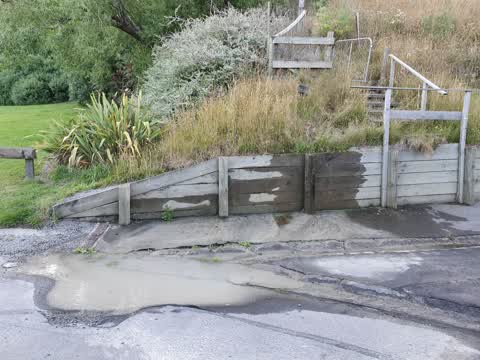
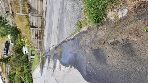
What’s on record
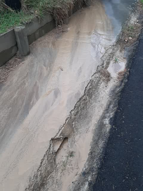
 Street Gutters / Storm Water, 25 Feb 2025
 A lot of very fine clay has drained down part of Harmans Road and onto Dalleys Lane rain gutters causing a massive block that will eventuall
 Water Leak, 30 Dec 2024
 Water leak coming from under road
 Water Leak, 28 Dec 2024
 There seems to be a water leak coming from under the road. It has been like this for at least a few weeks and constant. The big puddle is
 Water Leak, 17 Dec 2024
 Broken water pipe again in same spot as before. Corner Herman's road and dalleys lane in lyttelton
- Water Leak, 11 Nov 2022
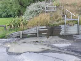 Water Leak, 4 Jan 2021
 note says already reported
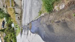 Water Leak, 3 Jan 2021
- Water Leak, 1 Jan 2021
Wastewater/Stormwater, 27 Mar 2020
running down from section and also out the pipe
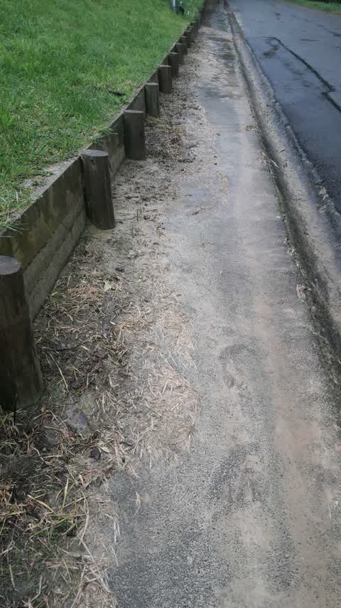
Roading/Streets, 26 Aug 2019
the lawn mower let's the grass clippings cover the foot path which makes it really slippery
Elsewhere on Harmans Road
- 21 Harmans Road, 9 reports
- 7 Harmans Road, 6 reports
- 4 Harmans Road, 5 reports
- 3 Harmans Road, 4 reports
- 16 Harmans Road, 3 reports
- 9 Harmans Road, 1 report
- 8A Harmans Road, 1 report
- 8 Harmans Road, 1 report
The civic layer
This ground votes in Banks Peninsula ward, the Banks Peninsula community board is its local layer. Ward lines don’t always follow suburb lines; this one is measured at the pin, not the suburb’s centre. The whole roll is at /wards.
Harmans Road, the whole record → · Everything about Lyttelton → · What stood on this ground → · On the map → · From the air, RetroLens holds the Crown’s aerials back to 1936; search the address there →
Questions, answered briefly
10 council reports on record since August 2019, most often water leak (7), wastewater/stormwater (1), street gutters / storm water (1).
Lyttelton, Christchurch, on Harmans Road.
Nothing on the heritage register at this exact spot, the record around this ground →
Voelas Playground, 8 m to its edge.