3 Donald Street, Lyttelton
13 reports on record since April 2019 · 10 with photographs. The most-reported address on Donald Street. Indicative rating valuation and school zones, hazards, bin day and what stood here before.
What gets reported here
Photographed here 10 on record

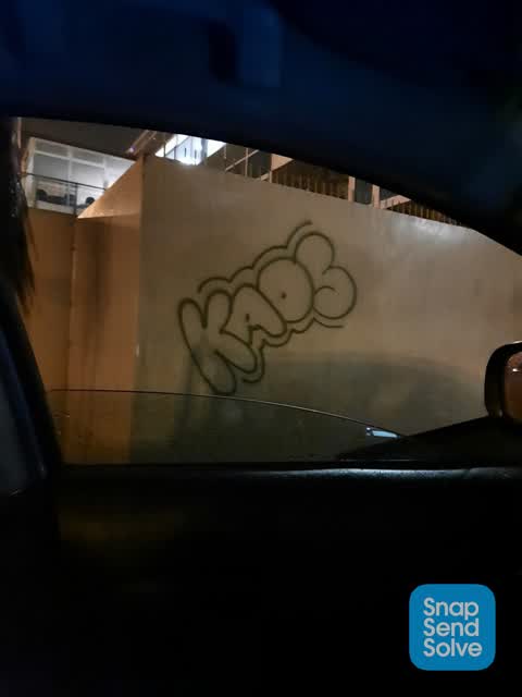
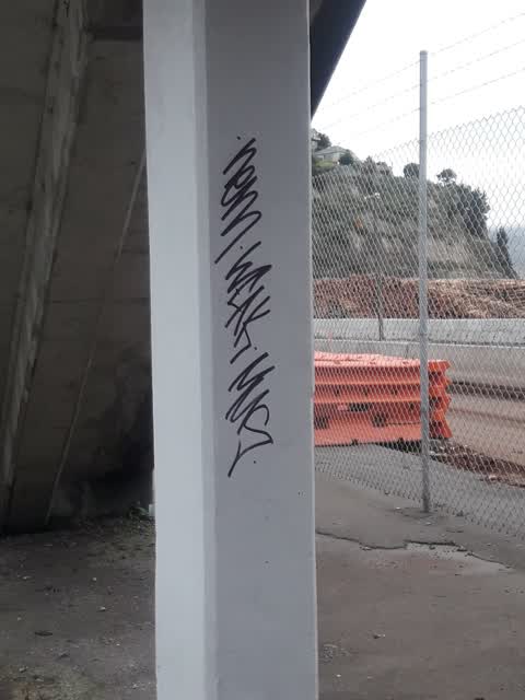
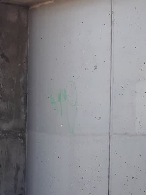
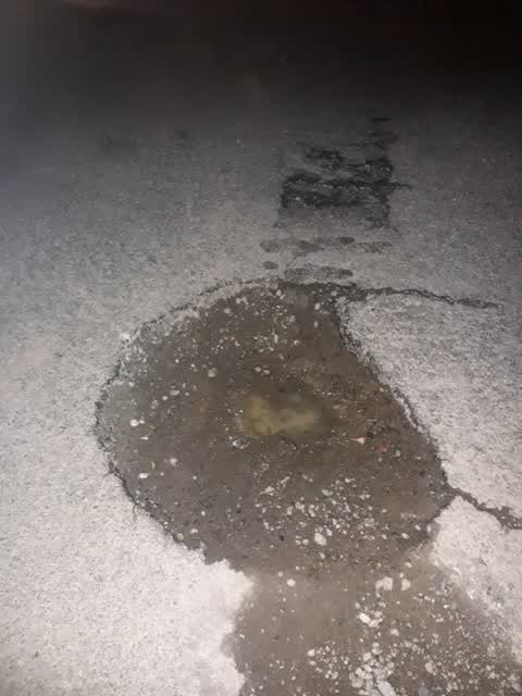
Reported here
 Graffiti somewhere else —
 "The holy trinity. The father, son, and holy ghost" None of who traditionally lived under a bridge. That was reserved for the troll in the
- Street Light Outage —
- Pavement - Damaged —
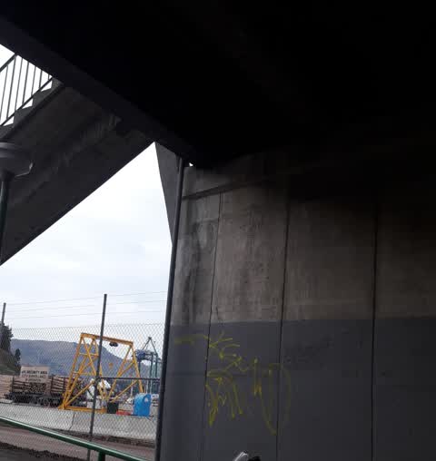
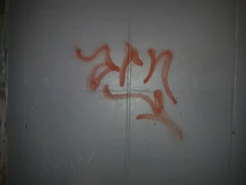
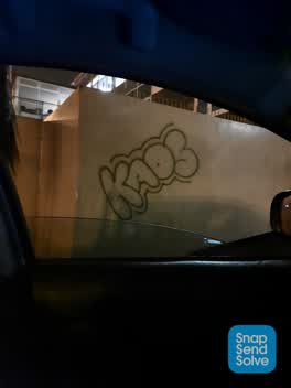 Graffiti —
 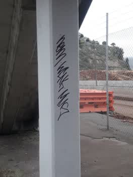 Graffiti —
 - Graffiti —
Graffiti under bridge
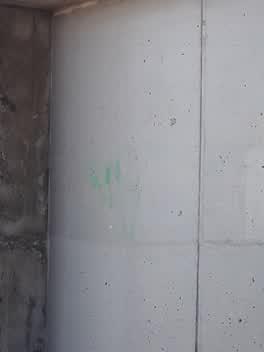 Graffiti —
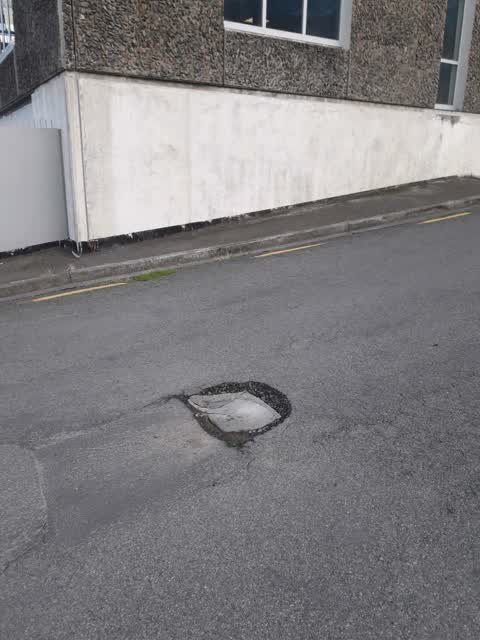
  Roading/Streets —
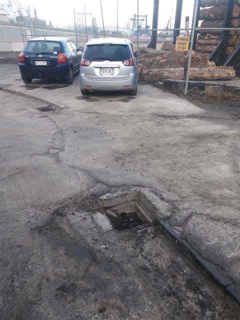
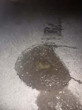
 deep pothole in middle of road
Graffiti —
Graffiti —
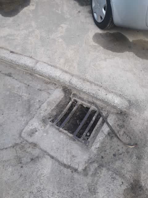
Wastewater/Stormwater —
behind pilgrims rock on donald street
Wastewater/Stormwater —
on donald street behind pilgrims rock
Roading/Streets —
Also reported on Donald Street
- 2–4 Donald Street — 13 reports
- 4 Donald Street — 5 reports
- 2 Donald Street — 3 reports
The green nearby
- Baden Norris Reserve — 75 m to the edge
- Sumner Road Gardens — 134 m to the edge
- Oxford Street Reserve — 269 m to the edge · Botanic
- Albion Square — 285 m to the edge · Botanic
- Sutton Reserve — 333 m to the edge · Botanic
Parks within half a kilometre, measured to the boundary — the council’s open data.
The civic shelf nearby
- Lyttelton Service Centre — 221 m away · Service centre
- Lyttelton Library — 240 m away · Library · 29 Winchester St, Lyttelton 8082
- Lyttelton Cemetery — 319 m away · Cemetery
Libraries, halls and the rest within half a kilometre — the council’s open data.
On the doorstep
- Black Cat - MNZ 126264 — 19 m away · Business
- Canterbury Cat - MNZ 100691 — 19 m away · Business
- Spirit - MNZ 105837 — 19 m away · Business
- Super — 34 m away · Restaurants
Businesses within four hundred metres, measured at the pin — OpenStreetMap and the council directories.
The bus nearby
- Lyttelton Jetty — 90 m away · the Diamond Harbour ferry
- Lyttelton Wharf — 119 m away · route 8, route 155
The closest Metro stops, within four hundred and fifty metres.
The named ground
Named places within 1.5 km of this address; the council’s own structure register — bridges, boardwalks and steps standing nearby — the open map’s record.
The remembered names nearby
- Presented to the People of Lyttelton and the Canterbury — 141 m away ·
Presented to the people of Lyttelton and the Canterbury Province by the Canterbury Pilgrim
· 2008 - Kate Sheppard Camellia Commemorating 100 Years of Womens — 143 m away ·
KATE SHEPPARD CAMELLIA Commemorating 100 years of Womens Suffrage Planted by Noeline Allan
· 2008 - Canterbury Centenary 1850 1950 on This Site Stood the House — 157 m away ·
CANTERBURY CENTENARY 1850 1950 ON THIS SITE STOOD THE HOUSE ERECTED BY THE CANTERBURY ASSO
· 2008
Inscribed plaques within two hundred and fifty metres — the register’s pins, not surveyed spots. The whole roll is at /plaques.
Renting nearby
new bonds in Lyttelton ran about $600 a week — $50 above the city median of $550 — the suburb page keeps the rent record →.
What was here — Former Harbour Board Office and Setting
35 m away · 5 Norwich Quay · located to ±13 m · the place’s own record →
On the register. Nothing researched here yet.
What was here — Signal Box and Setting
44 m away · 1 Norwich Quay · located to ±7 m · the place’s own record →
On the register. Nothing researched here yet.
What was here — Pilgrims Landing Site and Setting
46 m away · 7 Norwich Quay · located to ±8 m · the place’s own record →
On the register. Nothing researched here yet.
What was here — 2 Norwich Quay
65 m away · 2 Norwich Quay · located to ±12 m · the place’s own record →
On the register. Nothing researched here yet.
What was here — Former British Hotel and Setting
70 m away · 10 Oxford Street · located to ±16 m · the place’s own record →
On the register. Nothing researched here yet.
The civic layer
This ground votes in Banks Peninsula ward — the Banks Peninsula community board. Ward lines don’t always follow suburb lines; this one is measured at the pin, not the suburb’s centre.
What stood on this ground → · On the map → · From the air — the Crown’s aerials back to 1936; search the address on RetroLens →
Questions, answered briefly
13 council reports on record since April 2019 — most often graffiti (6), wastewater/stormwater (2), roading/streets (2).
Lyttelton, Christchurch — on Donald Street.
The heritage register names 5 places at or beside it — Former Harbour Board Office and Setting, Signal Box and Setting.
Baden Norris Reserve — 75 m to its edge.