7 Simeon Quay, Lyttelton
13 reports on record since December 2019 · 10 with photographs. The street’s heaviest record is 2 Simeon Quay — 33 reports on file. Indicative rating valuation and school zones, hazards, bin day and what stood here before.
What gets reported here
- Graffiti — 3
- Water Leak — 2
- Damaged Road — 2
- Roading/Streets — 1
- Pit and Equipment - General — 1
- Pavement - General — 1
Photographed here 10 on record



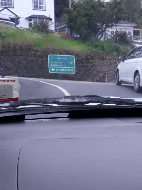
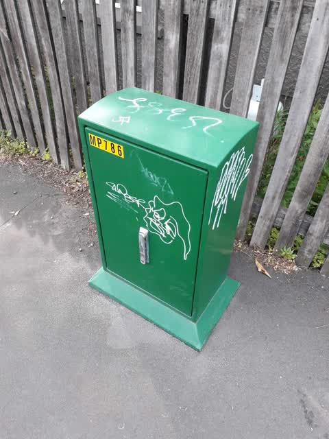
Reported here
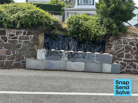
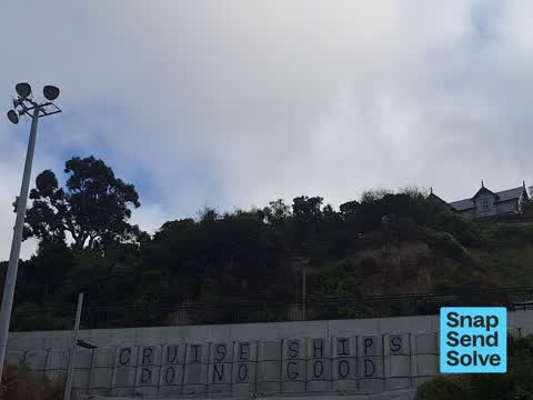
 Graffiti on a fence, building or structure —
 Graffiti on road barrier
 Damaged Road —
 Retaining wall still awaiting repair.
 Damaged Road —
 This landslip happened years ago now and damaged this wall, we were told repair would start beginning of 2025. When will repairs start?? Res
 Damaged Street Sign —
 Its been months now since a car crashed into the sign on the corner of Brittan Terrace and Simeon Quay. Can it please be replaced.
 Water Leak —
 Water running over footpath and it’s very slippery. An older woman fell.
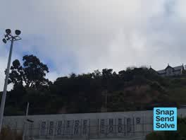 Graffiti somewhere else —
 - Pavement - General —
- Water Leak —
- Graffiti —
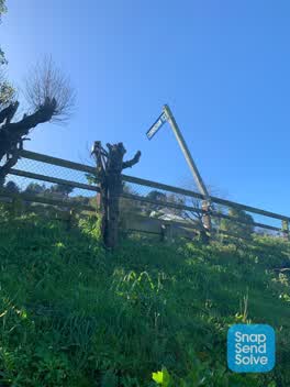 Pit and Equipment - General —
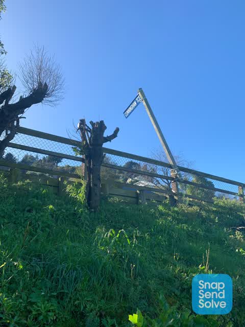
 I'm concerned about this post with street sign this will fall over and land on parked cars or someone walking past it's on a real list and c
 Roading/Streets —
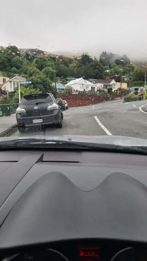
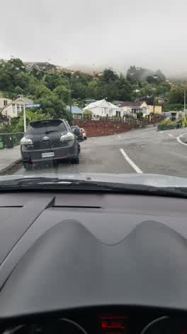
 It's like to suggest that a yellow line be painted on the left side of Simeon Quay - cars park here frequently, and with the rise in the roa
 Graffiti —
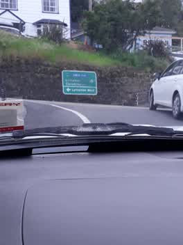
 Graffiti —
Also reported on Simeon Quay
- 2 Simeon Quay — 33 reports
- 8 Simeon Quay — 14 reports
- 6 Simeon Quay — 12 reports
- 2B Simeon Quay — 10 reports
- 18 Simeon Quay — 7 reports
- 10 Simeon Quay — 7 reports
- 1 Simeon Quay — 7 reports
- 36 Simeon Quay — 6 reports
The street’s crash record
NZTA’s record names Simeon Quay in 9 crashes that hurt somebody since 2006 — 1 seriously hurt, nobody killed.
The green nearby
- Simeon Quay Reserve — 212 m to the edge
- Cressy Terrace Tennis Courts — 274 m to the edge
- Lyttelton War Memorial — 277 m to the edge
- Whakaraupo Reserve — 316 m to the edge · Regional · 88 ha
- Voelas Playground — 362 m to the edge
Parks within half a kilometre, measured to the boundary — the council’s open data.
On the doorstep
- Dalcroy House — 117 m away · Guest houses
- Te Ana Marina Office — 169 m away · Business
- Whakaraupo Carving Centre Trust — 231 m away · Education & tutoring
- Lyttelton Engineering — 319 m away · Boatbuilder
Businesses within four hundred metres, measured at the pin — OpenStreetMap and the council directories.
The bus nearby
The closest Metro stops, within four hundred and fifty metres.
The tracks through here
- Walk and bike track through Lyttelton — 277 m to the line · walk · bike
Tracks whose line passes within half a kilometre, measured to the line itself — the council’s open data.
The named ground
Named places within 1.5 km of this address — the open map’s record.
The remembered names nearby
- In Memory of John Richard Webb — 176 m away ·
IN MEMORY OF JOHN RICHARD WEBB
· 2000
Inscribed plaques within two hundred and fifty metres — the register’s pins, not surveyed spots. The whole roll is at /plaques.
Renting nearby
new bonds in Lyttelton ran about $600 a week — $50 above the city median of $550 — the suburb page keeps the rent record →.
What was here — Dwelling and Setting/ Former St Saviour's Vicarage
58 m away · 2 Brittan Terrace · located to ±12 m · the place’s own record →
On the register. Nothing researched here yet.
What was here — Dwelling and Setting
74 m away · 6 Godley Quay · located to ±12 m · the place’s own record →
On the register. Nothing researched here yet.
What was here — Dwelling and Setting, Lochranza
106 m away · 14 Godley Quay · located to ±14 m · the place’s own record →
On the register. Nothing researched here yet.
What was here — Dwelling and Setting, Dalcroy House
117 m away · 16 Godley Quay · located to ±14 m · the place’s own record →
On the register. Nothing researched here yet.
What was here — Dwelling and Setting
187 m away · 26 Godley Quay · located to ±13 m · the place’s own record →
On the register. Nothing researched here yet.
The civic layer
This ground votes in Banks Peninsula ward — the Banks Peninsula community board. Ward lines don’t always follow suburb lines; this one is measured at the pin, not the suburb’s centre.
What stood on this ground → · On the map → · From the air — the Crown’s aerials back to 1936; search the address on RetroLens →
Questions, answered briefly
13 council reports on record since December 2019 — most often graffiti (3), water leak (2), damaged road (2).
Lyttelton, Christchurch — on Simeon Quay.
The heritage register names 5 places at or beside it — Dwelling and Setting/ Former St Saviour's Vicarage, Dwelling and Setting.
Simeon Quay Reserve — 212 m to its edge.