10 Shirley Road, Mairehau
34 reports on record since April 2017 · 25 with photographs. The most-reported address on Shirley Road. Indicative rating valuation and school zones, hazards, bin day and what stood here before.
What gets reported here
- Parks — 9
- Graffiti — 8
- Water Leak — 2
- Wastewater/Stormwater — 2
- Trees - General — 2
- Roading/Streets — 2
Photographed here 25 on record


Reported here
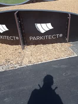
 Playground Equipment —
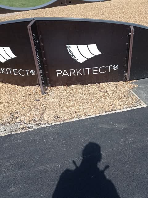
 pump track has panels missing. needs repair.it also has graffiti on it and general signs of wear and tear. needs attention
 Trees - General —
 Large rotting hole at base of tree next to basketball court at Shirley Community Park
 Graffiti on a traffic light pole or cabinet, or wa —
 graffiti on traffic control cabinet
 Fallen Tree —
 large broken branch in the old shirley community centre park
 General Request —
 Pedestrian lights turning red. Nobody around
 Overgrown Vegetation —
 Hedge growing over footpath
 Graffiti —
 - Graffiti —
- Graffiti —
- Dumped Rubbish —
- Trees - General —
- Rubbish and Bins - General —
- Water Leak —
- Water Leak —
- Litter —
- Graffiti —
 Graffiti —
 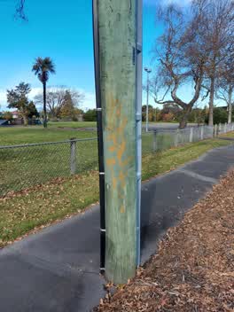 Graffiti —
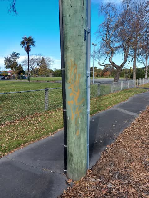
 Large orange tag on wooden power pole ID E1558 Corner of Shirley Community Centre park on corner of Shirley Rd and Slater St
Parks —
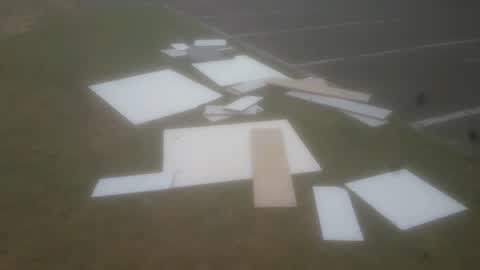
pile of wood dumped in shirley community reserve
 Graffiti - Public Property —
 Parks —
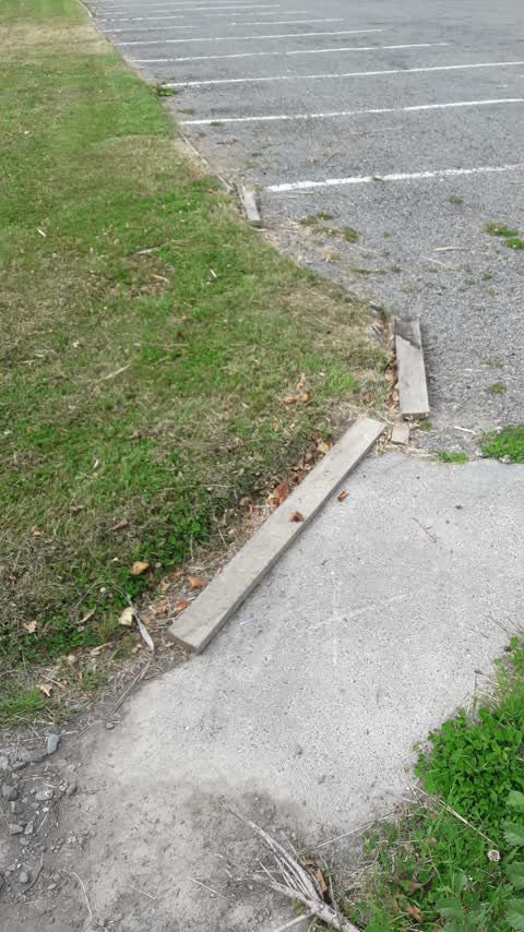
Shirley Community Centre Reserve broken boards along grass verge of carpark
Parks —
more holes and humps in this path...very uneven
Parks —
another hole same path
Parks —
big hump in the path here
Parks —
the paths are very uneven and damaged at this address
Graffiti —
Shirley Village Graffiti Cleanup. Graffiti on signs and basketball hoop in park
Graffiti —
Shirley Village Project Graffiti Clean up. On Shirley Community Centre sign at walking entrance to old community centre site.
Parks —
A big pile of liquefaction has been here for 8 years! Can it get removed please?
Roading/Streets —
Bus finder been broken for a number of mouths
Parks —
This morning it is thank you notes thank you for getting rid of the unrequired traffic management that is appreciated
Parks —
Random traffic management still an hour Park I expect traffic management collected within 24 hours we have enough traffic management patrol
Roading/Streets —
More abandoned random traffic management that needs collecting And broken signage that is clearly now rubbish
Wastewater/Stormwater —
Block drang
Wastewater/Stormwater —
Block drang
Also reported on Shirley Road
- 11 Shirley Road — 28 reports
- 4 Shirley Road — 21 reports
- 7 Shirley Road — 12 reports
- 1 Shirley Road — 11 reports
- 9 Shirley Road — 8 reports
- 3 Shirley Road — 8 reports
- 13 Shirley Road — 8 reports
- 8 Shirley Road — 7 reports
The street’s crash record
NZTA’s record names Shirley Road in 25 crashes that hurt somebody since 2006 — 6 seriously hurt, nobody killed.
The green nearby
- Shirley Community Reserve — you are in it
- Dudley Creek Esplanade Reserve — 79 m to the edge
- Petrie Park — 353 m to the edge · 1 ha
Parks within half a kilometre, measured to the boundary — the council’s open data.
On the doorstep
- Crazy Horse — 109 m away · Restaurants
- Bridgestone Tyre Centre — 116 m away · Tyre shops
- Crazy Horse Hammersley — 130 m away · Restaurants
- Shirley Bakery — 132 m away · Bakeries
Businesses within four hundred metres, measured at the pin — OpenStreetMap and the council directories.
The bus nearby
- Shirley Rd near Slater St — 46 m away · route 7, route 100, the Orbiter (anticlockwise)
- Shirley Rd near Slater St — 57 m away · route 7, route 100, the Orbiter (clockwise)
The closest Metro stops, within four hundred and fifty metres.
The tracks through here
- Walk and bike track through Mairehau — 19 m to the line · walk · bike
- Walk and bike track through Mairehau — 171 m to the line · walk · bike
- Walk and bike track through Mairehau — 347 m to the line · walk · bike
Tracks whose line passes within half a kilometre, measured to the line itself — the council’s open data.
The named ground
Named water within 500 m of this address, measured to the line or the edge; the council’s own structure register — bridges, boardwalks and steps standing nearby — the open map’s record.
Renting nearby
new bonds in Mairehau ran about $409 a week — $141 below the city median of $550 — the suburb page keeps the rent record →.
What was here — Dwelling and Setting
75 m away · 72 Chancellor Street · located to ±9 m · the place’s own record →
On the register. Nothing researched here yet.
What was here — Dwelling and Setting
82 m away · 70 Chancellor Street · located to ±9 m · the place’s own record →
On the register. Nothing researched here yet.
What was here — Dwelling and Setting
88 m away · 66 Chancellor Street · located to ±8 m · the place’s own record →
On the register. Nothing researched here yet.
The civic layer
This ground votes in Central ward — the Papanui-Innes-Central community board. Ward lines don’t always follow suburb lines; this one is measured at the pin, not the suburb’s centre.
What stood on this ground → · On the map → · From the air — the Crown’s aerials back to 1936; search the address on RetroLens →
Questions, answered briefly
34 council reports on record since April 2017 — most often parks (9), graffiti (8), water leak (2).
Mairehau, Christchurch — on Shirley Road.
The heritage register names 3 places at or beside it — Dwelling and Setting, Dwelling and Setting.
Shirley Community Reserve — the address is inside it.