271 Westminster Street, Mairehau
11 reports on record since October 2018 · 7 with photographs. The street’s heaviest record is 272 Westminster Street — 35 reports on file. Indicative rating valuation and school zones, hazards, bin day and what stood here before.
What gets reported here
- Water Leak — 2
- Trees - General — 2
- Facility - General Request — 2
- Playground Equipment — 1
- Parks — 1
- Park - General Request — 1
Photographed here 7 on record


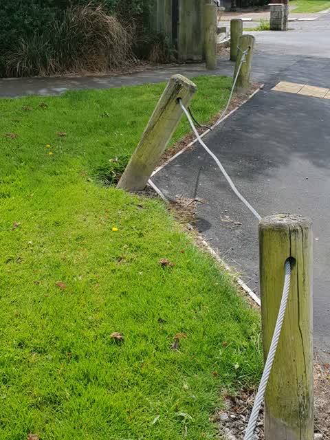
Reported here
 Water Leak —
  Trees - General —
 Hazardous dying tree is continuing to deteriorate, posing a public safety hazard. Tree overhangs road reserve & footpath, and potentially tr
 Water Leak —
 The water toby outside my house has begun to leak, and requires attention. There is also another leaking toby directly across the street (f
 Trees - General —
 The large tree adjacent to my house is showing significant signs of Ill health, especially the larger branch hanging directly over the house
 Facility - General Request —
 Rubbish dumped near bin by toilet block at Westminster park
 Fallen Tree —
 Part of a tree has broken off in Mahars Playground Park, close to Westminster Street
- Facility - General Request —
- Park - General Request —
- Dumped Rubbish —
- Playground Equipment —
Parks —
Also reported on Westminster Street
- 272 Westminster Street — 35 reports
- 274 Westminster Street — 30 reports
- 278 Westminster Street — 22 reports
- 264 Westminster Street — 15 reports
- 280 Westminster Street — 12 reports
- 263 Westminster Street — 11 reports
- 214 Westminster Street — 10 reports
- 270 Westminster Street — 9 reports
The street’s crash record
NZTA’s record names Westminster Street in 24 crashes that hurt somebody since 2006 — 3 seriously hurt, nobody killed.
The green nearby
- Mahars Playground — 21 m to the edge
- Westminster Park — 38 m to the edge · Sports ground · 6 ha
- Fernbrook Playground — 309 m to the edge
- Edgeware Tennis Club — 374 m to the edge
Parks within half a kilometre, measured to the boundary — the council’s open data.
On the doorstep
- Christchurch Park Accommodation — 202 m away · Motels
- Manuka Medical Centre — 296 m away · Doctors & clinics
- Christchurch Football Club — 310 m away · Clubs
- Christchurch Football Squash Club — 310 m away · Clubs
Businesses within four hundred metres, measured at the pin — OpenStreetMap and the council directories.
The bus nearby
- Innes Rd near Mahars Rd — 375 m away · route 44, the Orbiter (clockwise)
- Innes Rd near Mahars Rd — 381 m away · route 44, the Orbiter (anticlockwise)
The closest Metro stops, within four hundred and fifty metres.
The tracks through here
- Walk and bike track through Mairehau — 29 m to the line · walk · bike
Tracks whose line passes within half a kilometre, measured to the line itself — the council’s open data.
The named ground
Named water within 500 m of this address, measured to the line or the edge; the council’s own structure register — bridges, boardwalks and steps standing nearby — the open map’s record.
Renting nearby
new bonds in Mairehau ran about $409 a week — $141 below the city median of $550 — the suburb page keeps the rent record →.
The civic layer
This ground votes in Innes ward — the Papanui-Innes-Central community board. Ward lines don’t always follow suburb lines; this one is measured at the pin, not the suburb’s centre.
What stood on this ground → · On the map → · From the air — the Crown’s aerials back to 1936; search the address on RetroLens →
Questions, answered briefly
11 council reports on record since October 2018 — most often water leak (2), trees - general (2), facility - general request (2).
Mairehau, Christchurch — on Westminster Street.
Nothing on the heritage register at this exact spot — the record around this ground →
Mahars Playground — 21 m to its edge.