155 Metehau Street, Marshland
19 reports on record since May 2021 · 13 with photographs. The most-reported address on Metehau Street. Indicative rating valuation and school zones, hazards, bin day and what stood here before.
What gets reported here
- Park - General Request, 5
- Facility - General Request, 3
- Graffiti on a fence, building or structure, 2
- Dumped Rubbish, 2
- Vandalism - General, 1
- Trees - General, 1
Photographed here 13 on record






Reported here
 General Request,
 Thank you to everyone on the council involved in sorting out this fence. We appreciate your hard work! Thanks Michelle
 Park - General Request,
 section of fence missing, and remaining fence looks unstable. Safety risk as there is a long fall to channel below.
 Litter,
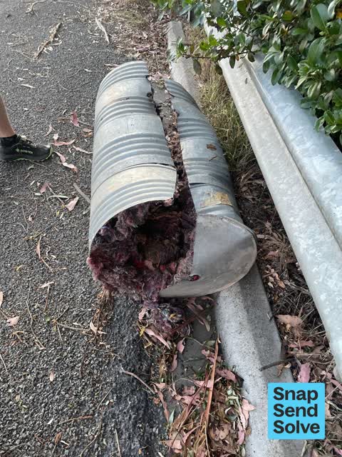
 Pillow by road
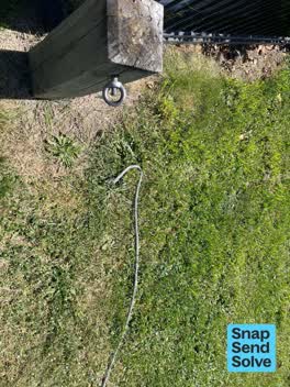 Graffiti on a fence, building or structure,
 Wire barrier broken . Thanks Michelle
 Dumped Rubbish,
 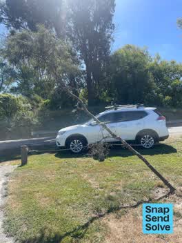 Trees - General,
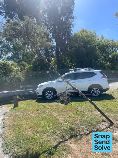
 Kowhai at a precarious angle. Thanks Michelle
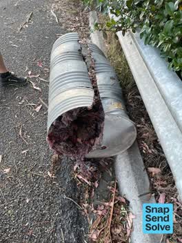 Dumped Rubbish,
 Please pick up
 Graffiti on a fence, building or structure,
 Graffiti on drain
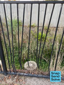 Vandalism - General,
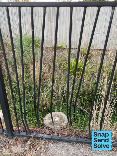
 Hacksawed fence rails :-(
 Facility - General Request,
 The pool fencing has been bent and kicked in. Now unsafe.
 Facility - General Request,
 Metal fence in reserve at the end of Metehau St Preston’s, Marshland damage. Damage caused by lawn mowing contractor several months ago. I
- Facility - General Request,
- Park - General Request,
- Park - General Request,
- Park - General Request,
- Pavement - Damaged,
- Park - General Request,
 Overgrown Vegetation,
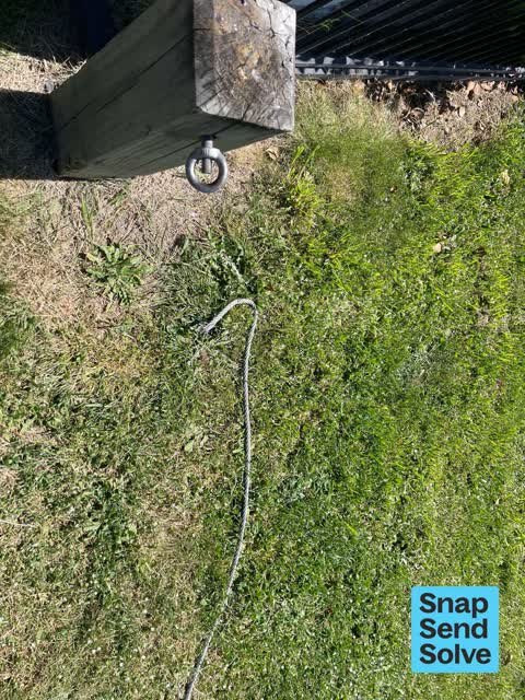
 Gorse and Broom growing drain along fence line. Section of fence stolen allowing access to drain.
 Rubbish/Recycling,
 Advertising fliers dumped on side of walkway between Lower Styx Road and the end of Metehau St.
Also reported on Metehau Street
- 134 Metehau Street, 5 reports
- 85 Metehau Street, 4 reports
- 158 Metehau Street, 4 reports
- 71 Metehau Street, 3 reports
- 64 Metehau Street, 3 reports
- 60 Metehau Street, 2 reports
- 127 Metehau Street, 2 reports
- 118 Metehau Street, 2 reports
From the air, then
Sourced from Canterbury Maps and partners. LINZ, CC BY 3.0 NZ. Each frame is cut from Environment Canterbury’s historic imagery MapServer for that decade, only where the Footprints layer names a CC BY survey (NZAM-covered spots stay out). RetroLens holds more Crown aerials →
The street’s crash record
NZTA’s record names Metehau Street in 1 crash that hurt somebody since 2006, 1 seriously hurt, nobody killed.
The green nearby
- Janet Stewart Reserve, 39 m to the edge · 3 ha
- Kaputone Confluence Conservation Park, 417 m to the edge · Regional · 3 ha
- Styx River Reserve No. 2, 495 m to the edge · Regional · 8 ha
Parks within half a kilometre, measured to the boundary, the council’s open data.
The bus nearby
The closest Metro stops, within four hundred and fifty metres.
The named ground
Named water within 500 m of this address, measured to the line or the edge; the council’s own structure register, bridges, boardwalks and steps standing nearby, the open map’s record.
Renting nearby
new bonds in Marshland ran about $689 a week, $139 above the city median of $550, the suburb page keeps the rent record →.
The civic layer
This ground votes in Burwood ward, the Coastal-Burwood-Linwood community board. Ward lines don’t always follow suburb lines; this one is measured at the pin, not the suburb’s centre.
What stood on this ground → · On the map → · From the air, the Crown’s aerials back to 1936; search the address on RetroLens →
Questions, answered briefly
19 council reports on record since May 2021, most often park - general request (5), facility - general request (3), graffiti on a fence, building or structure (2).
Marshland, Christchurch, on Metehau Street.
Nothing on the heritage register at this exact spot, the record around this ground →
Janet Stewart Reserve, 39 m to its edge, 3 ha.