16 Lower Styx Road, Marshland
15 reports on record since July 2017 · 15 with photographs. The street’s heaviest record is 9 Lower Styx Road — 62 reports on file. Indicative rating valuation and school zones, hazards, bin day and what stood here before.
What gets reported here
- Dumped Rubbish — 4
- Roading/Streets — 3
- Parks — 3
- Rubbish/Recycling — 2
- Sewer General — 1
- Roads - General — 1
Photographed here 15 on record


Reported here
 Sewer General —
 tress rotten and down over drain
 Dumped Rubbish —
  Roads - General —
 Shoulder of road is not properly formed, creates a somewhat hidden slope that is potentially dangerous for cyclists and vehicles not expecti
 Dumped Rubbish —
 Approx 5 rubbish bags
 Graffiti somewhere else —
 Graffiti on several lampost heading down lower styx rd
 Dumped Rubbish —
 Several large full rubbish bags dumped in grass berm to the right of the entry into Janet Stewart Reserve
 Dumped Rubbish —
 Bag of rubbish opposite Janet Stewart Reserve. Lower Styx road.
Parks —
illegal dumping
 Rubbish/Recycling —
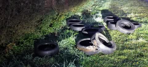
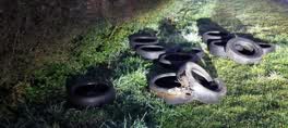
 dumped tyres by road.
Rubbish/Recycling —
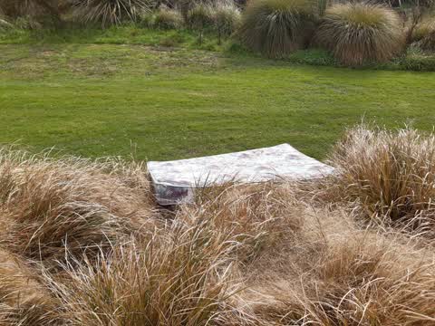
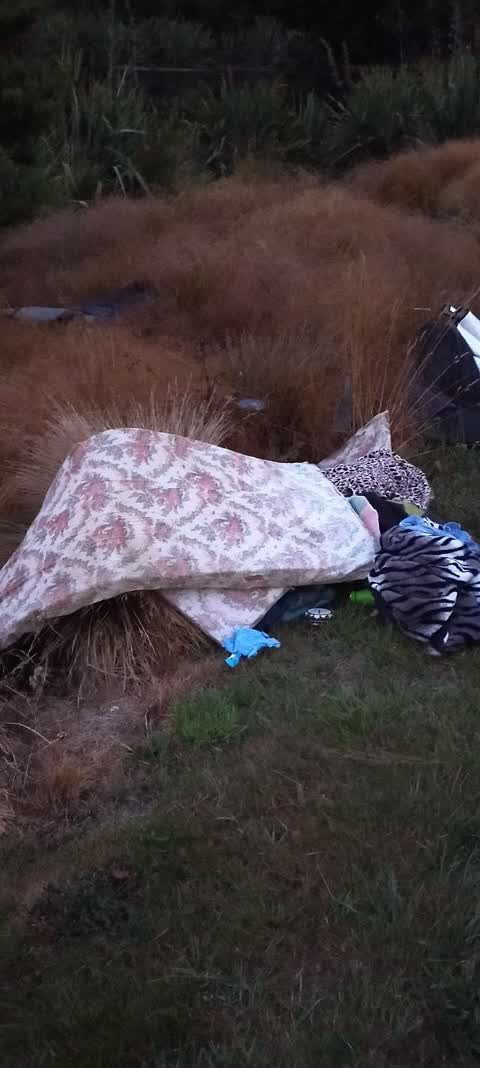
Old mattress and rubbish dumped on river side just past Janet Stewart Reserve. Towards Spencerpark. Can we put up signs or cameras to catch
Parks —
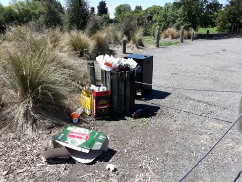
Rubbish bin overflowing and dumped rubbish at Janet Stewart Reserve. Please instruct contractors to remove rubbish ASAP. Thanks
Parks —
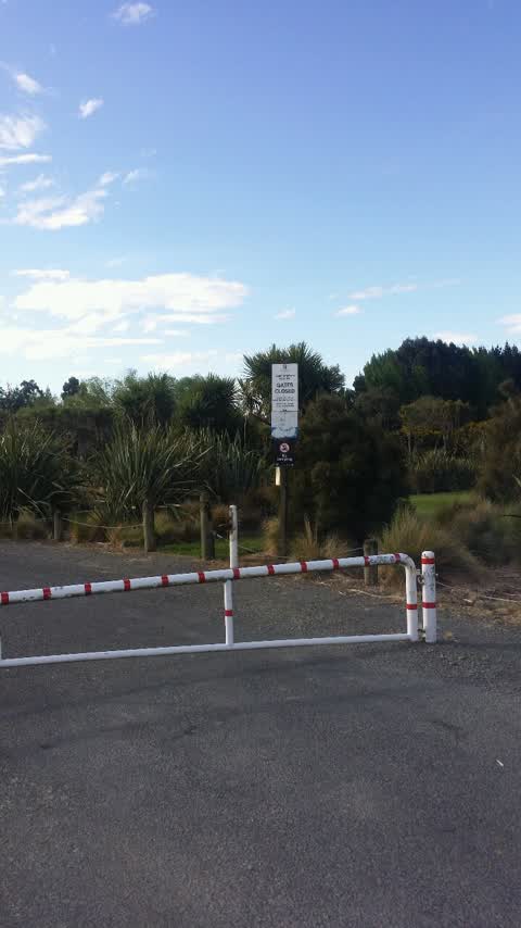
Janet Stewart Reserve locked up at time of this message. Not the 1st time this has happened. Sign clearly shows should be open a lot layer.
Roading/Streets —
Stop sign, sped limit sign and bus stop sign all obscured as approaching.
Roading/Streets —
Obscured signs, particularly apparent at night time
Roading/Streets —
Obscured signs, particularly apparent at night time
Also reported on Lower Styx Road
- 9 Lower Styx Road — 62 reports
- 9R Lower Styx Road — 18 reports
- 40E Lower Styx Road — 10 reports
- 46 Lower Styx Road — 4 reports
- 26 Lower Styx Road — 4 reports
- 44R Lower Styx Road — 3 reports
- 44 Lower Styx Road — 1 report
- 34–42 Lower Styx Road — 1 report
The street’s crash record
NZTA’s record names Lower Styx Road in 9 crashes that hurt somebody since 2006 — 1 person killed, 6 seriously hurt.
The green nearby
- Janet Stewart Reserve — 24 m to the edge · 3 ha
- Kaputone Confluence Conservation Park — 210 m to the edge · Regional · 3 ha
- Styx River Reserve No. 2 — 254 m to the edge · Regional · 8 ha
Parks within half a kilometre, measured to the boundary — the council’s open data.
The bus nearby
The closest Metro stops, within four hundred and fifty metres.
The tracks through here
- Walk and bike track through Marshland — 265 m to the line · walk · bike
Tracks whose line passes within half a kilometre, measured to the line itself — the council’s open data.
The named ground
Named water within 500 m of this address, measured to the line or the edge; the council’s own structure register — bridges, boardwalks and steps standing nearby — the open map’s record.
Renting nearby
new bonds in Marshland ran about $689 a week — $139 above the city median of $550 — the suburb page keeps the rent record →.
The civic layer
This ground votes in Burwood ward — the Coastal-Burwood-Linwood community board. Ward lines don’t always follow suburb lines; this one is measured at the pin, not the suburb’s centre.
What stood on this ground → · On the map → · From the air — the Crown’s aerials back to 1936; search the address on RetroLens →
Questions, answered briefly
15 council reports on record since July 2017 — most often dumped rubbish (4), roading/streets (3), parks (3).
Marshland, Christchurch — on Lower Styx Road.
Nothing on the heritage register at this exact spot — the record around this ground →
Janet Stewart Reserve — 24 m to its edge, 3 ha.