548 Marshland Road, Marshland
21 reports on record since September 2019 · 18 with photographs. The street’s heaviest record is 251F Marshland Road — 22 reports on file. Indicative rating valuation and school zones, hazards, bin day and what stood here before.
What gets reported here
Photographed here 18 on record


Reported here
 Graffiti somewhere else —
 On two lamp post with lights on this corner
 Graffiti on a fence, building or structure —
  Graffiti somewhere else —
 Graffiti on back of signage
 Graffiti on a cabinet, pole or railway asset —
 Most of the signs/poles at this intersection have been tagged
 Graffiti on a cabinet, pole or railway asset —
 There are about 5 poles Tagged
 Poles and Signage - General —
 Speed limit sign on Lower Styx Road is taped over. Sign on other side of road is clear.
 Dumped Rubbish —
  Overgrown Vegetation —
 Potentially got some great willow herb in Janet stuart pa harakeke. Back corner close to the waterway and the main road bridge
 Overgrown Vegetation —
 This intersection is heavily overgrown and a potential fire risk On-The-Go coming months.
- Overgrown Vegetation —
- Overgrown Vegetation —
- Graffiti —
Rubbish/Recycling —
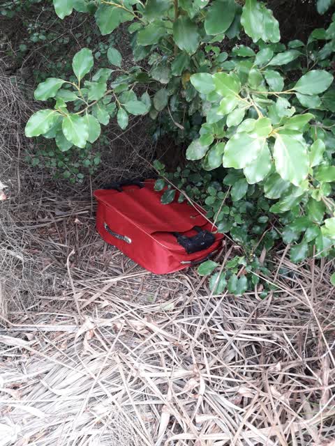
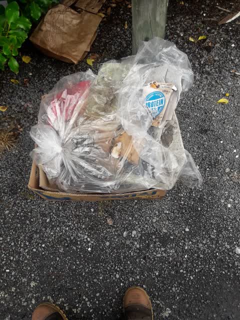
Illegal Dumping at Janet Stewart Reserve.
Rubbish/Recycling —
illegal dumping at Janet Stewart
Rubbish/Recycling —
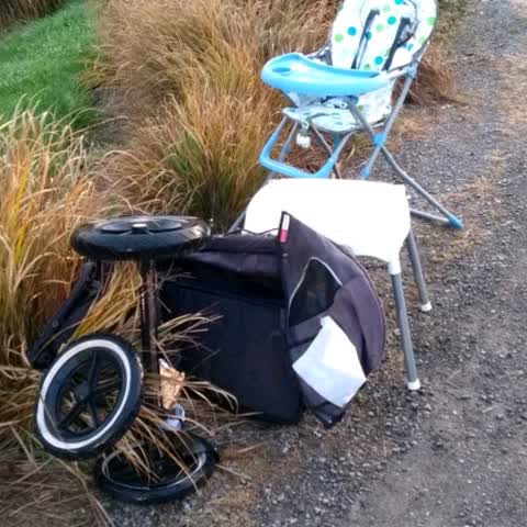
Baby stuff
Rubbish/Recycling —
rubbish - Janet Stewart reserve
Parks —
Rubbish/Recycling —
in car park illegal dumping couch n clothing
Rubbish/Recycling —
illegal dumping of four tyres
Rubbish/Recycling —
just off side of road illegal dumping
Rubbish/Recycling —
on side of road illegal dumping
Also reported on Marshland Road
- 251F Marshland Road — 22 reports
- 287 Marshland Road — 17 reports
- 247 Marshland Road — 10 reports
- 289 Marshland Road — 9 reports
- 241F Marshland Road — 8 reports
- 420 Marshland Road — 7 reports
- 310 Marshland Road — 5 reports
- 220 Marshland Road — 5 reports
The street’s crash record
NZTA’s record names Marshland Road in 202 crashes that hurt somebody since 2006 — 4 people killed, 49 seriously hurt.
The green nearby
- Janet Stewart Reserve — 14 m to the edge · 3 ha
- Kaputone Confluence Conservation Park — 97 m to the edge · Regional · 3 ha
- Styx River Reserve No. 2 — 106 m to the edge · Regional · 8 ha
Parks within half a kilometre, measured to the boundary — the council’s open data.
The tracks through here
- Walk and bike track through Marshland — 112 m to the line · walk · bike
Tracks whose line passes within half a kilometre, measured to the line itself — the council’s open data.
The named ground
Named water within 500 m of this address, measured to the line or the edge; the council’s own structure register — bridges, boardwalks and steps standing nearby — the open map’s record.
Renting nearby
new bonds in Marshland ran about $689 a week — $139 above the city median of $550 — the suburb page keeps the rent record →.
The civic layer
This ground votes in Burwood ward — the Coastal-Burwood-Linwood community board. Ward lines don’t always follow suburb lines; this one is measured at the pin, not the suburb’s centre.
What stood on this ground → · On the map → · From the air — the Crown’s aerials back to 1936; search the address on RetroLens →
Questions, answered briefly
21 council reports on record since September 2019 — most often rubbish/recycling (8), overgrown vegetation (4), graffiti somewhere else (2).
Marshland, Christchurch — on Marshland Road.
Nothing on the heritage register at this exact spot — the record around this ground →
Janet Stewart Reserve — 14 m to its edge, 3 ha.