27 Wroxton Terrace, Merivale
11 reports on record since February 2020 · 11 with photographs. The street’s heaviest record is 29 Wroxton Terrace — 27 reports on file. Indicative rating valuation and school zones, hazards, bin day and what stood here before.
What gets reported here
- Water Leak — 4
- Pavement - Damaged — 4
- Roading/Streets — 1
- Pavement - General — 1
- Graffiti — 1
Photographed here 11 on record


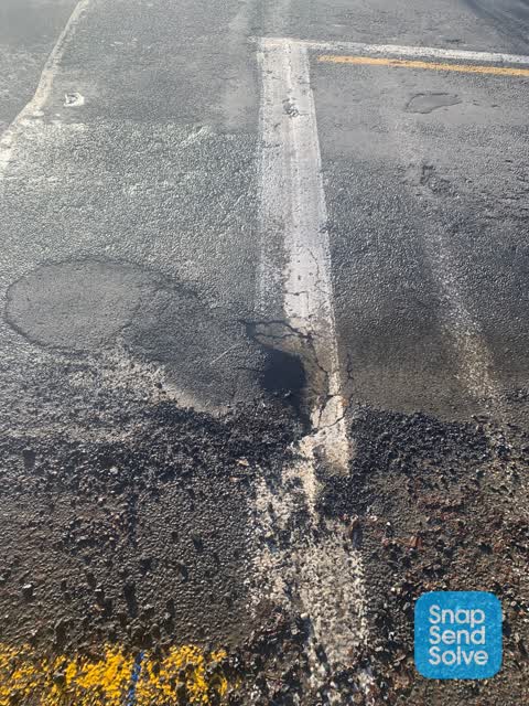
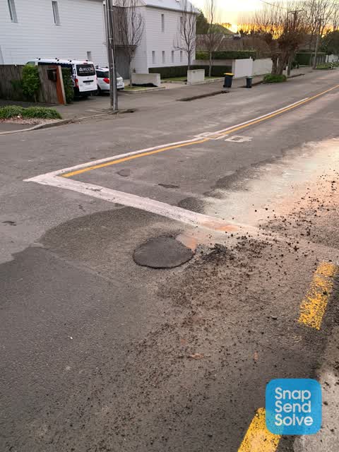
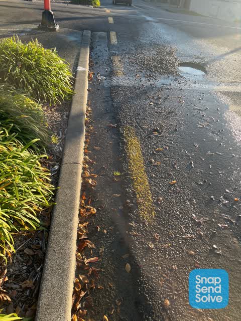
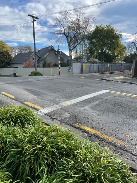
Reported here
 Pavement - Damaged —
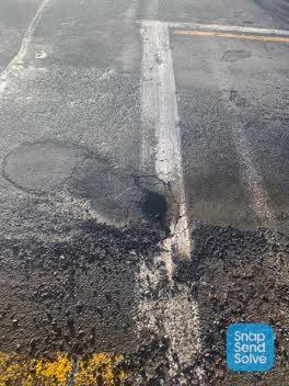
 There’s a really big dip in the pavement, not safe when eg walking a pram over it. Also noticed a hole right by it in the asphalt today.
 Water Leak —
 Water bubbling out from the plantings beside the railway line on Wroxton Tce
 Pavement - Damaged —
 Hidden dip in pavement is tripping risk.
 Pavement - Damaged —
 Lost balance while walking on footpath . Area of depression has been marked out for two years but not repaired yet - thx
 Pavement - Damaged —
 Ground underneath footpath has sunken. Perhaps an old trench
 Pavement - General —
 HEB construction did work last week in Wroxton Terrace and have left the roadside drain full of shingle and shingle spread over the pavement
 Roading/Streets —
  Water Leak —
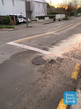
 Plugging hasn’t worked
 Water Leak —
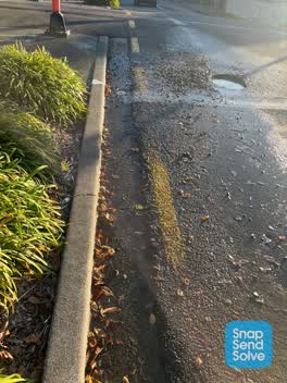
 Not currently flowing but has been earlier this week
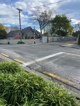 Water Leak —
 Watermain leaking on Wroxton Terrace only about 3m from the railway line
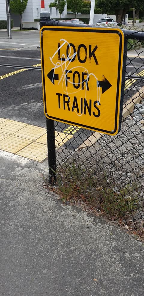
Graffiti —
on yellow look for trains sign SW side of level crossing
Also reported on Wroxton Terrace
- 29 Wroxton Terrace — 27 reports
- 34 Wroxton Terrace — 14 reports
- 32 Wroxton Terrace — 13 reports
- 34E Wroxton Terrace — 10 reports
- 36A Wroxton Terrace — 8 reports
- 30A Wroxton Terrace — 8 reports
- 34A Wroxton Terrace — 7 reports
- 33 Wroxton Terrace — 7 reports
The green nearby
- Clifford Reserve — 328 m to the edge
- Plynlimon Park — 367 m to the edge · Sports ground · 1 ha
- Mona Vale — 445 m to the edge · Botanic · 5 ha
- Elmwood Park — 462 m to the edge · Sports ground · 7 ha
Parks within half a kilometre, measured to the boundary — the council’s open data.
On the doorstep
- Alexanders Digital Marketing — 156 m away · Advertising Agency
- House Of Huia — 281 m away · Business
Businesses within four hundred metres, measured at the pin — OpenStreetMap and the council directories.
The bus nearby
The closest Metro stops, within four hundred and fifty metres.
The tracks through here
- Walk and bike track through Merivale — 42 m to the line · walk · bike
- Walk and bike track through Merivale — 51 m to the line · walk · bike
- Walk and bike track through Merivale — 262 m to the line · walk · bike
- Walk and bike track through Merivale — 304 m to the line · walk · bike
- Walk and bike track through Merivale — 401 m to the line · walk · bike
Tracks whose line passes within half a kilometre, measured to the line itself — the council’s open data.
The named ground
Named water within 500 m of this address, measured to the line or the edge; Named places within 1.5 km of this address — the open map’s record.
Renting nearby
new bonds in Merivale ran about $604 a week — $54 above the city median of $550 — the suburb page keeps the rent record →.
The civic layer
This ground votes in Fendalton ward — the Fendalton-Waimairi-Harewood community board. Ward lines don’t always follow suburb lines; this one is measured at the pin, not the suburb’s centre.
What stood on this ground → · On the map → · From the air — the Crown’s aerials back to 1936; search the address on RetroLens →
Questions, answered briefly
11 council reports on record since February 2020 — most often water leak (4), pavement - damaged (4), roading/streets (1).
Merivale, Christchurch — on Wroxton Terrace.
Nothing on the heritage register at this exact spot — the record around this ground →
Clifford Reserve — 328 m to its edge.