34 Wroxton Terrace, Merivale
14 reports on record since August 2017 · 9 with photographs. The street’s heaviest record is 29 Wroxton Terrace — 27 reports on file. Indicative rating valuation and school zones, hazards, bin day and what stood here before.
What gets reported here
- Roading/Streets — 3
- Graffiti — 3
- Damaged Street Sign — 2
- Water Leak — 1
- Roads - General — 1
- Road Signage — 1
Photographed here 9 on record


Reported here
 Graffiti on a fence, building or structure —
 Tag on fence
 Roads - General —
 This very narrow cycleway needs to have leaves etc removed regularly can it be cleaned up please as there isn't the space for this.
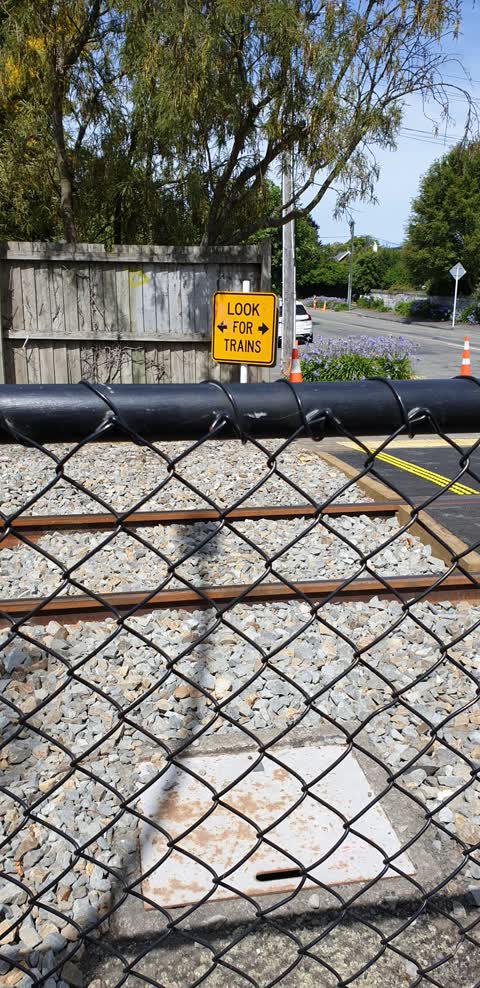
 Graffiti —
 Warning sign at Wroxton tce level crossing
- Damaged Street Sign —
Snap ID - 3859809 To whom it may concern. The Wroxton Terrace street name plate, which was dangerous, has been removed rather than secured
 Pavement - Damaged —
 Multiple layers of overlay are starting to break up on the west side of the railway and cycle way crossing on Wroxton Terrace. The camber is
- Overgrown Vegetation —
- Road Signage —
- Damaged Street Sign —
- Water Leak —
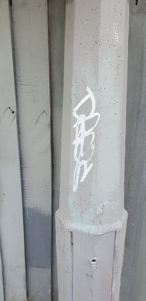
Graffiti —
on lamppost walkway just north of level crossing
Graffiti —
sign and lamppost on northern side of railway crossing
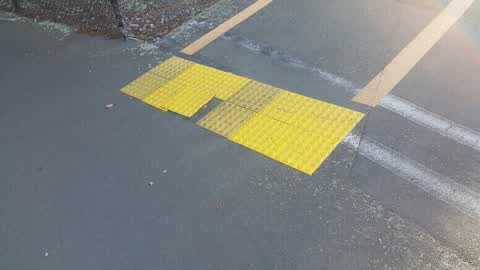
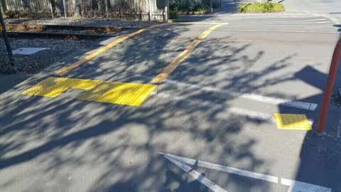
Roading/Streets —
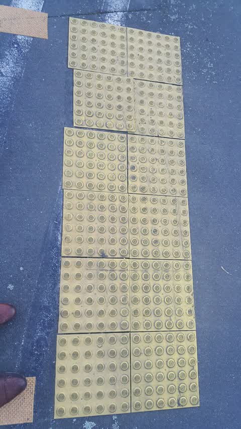
Loose pedestrian tile
Roading/Streets —
Loose pedestrian nonslip tile
Roading/Streets —
Loose nonslip pedestrian tile
Also reported on Wroxton Terrace
- 29 Wroxton Terrace — 27 reports
- 32 Wroxton Terrace — 13 reports
- 27 Wroxton Terrace — 11 reports
- 34E Wroxton Terrace — 10 reports
- 36A Wroxton Terrace — 8 reports
- 30A Wroxton Terrace — 8 reports
- 34A Wroxton Terrace — 7 reports
- 33 Wroxton Terrace — 7 reports
The green nearby
- Plynlimon Park — 343 m to the edge · Sports ground · 1 ha
- Clifford Reserve — 350 m to the edge
- Elmwood Park — 456 m to the edge · Sports ground · 7 ha
- Mona Vale — 467 m to the edge · Botanic · 5 ha
Parks within half a kilometre, measured to the boundary — the council’s open data.
On the doorstep
- Alexanders Digital Marketing — 175 m away · Advertising Agency
- House Of Huia — 280 m away · Business
Businesses within four hundred metres, measured at the pin — OpenStreetMap and the council directories.
The bus nearby
The closest Metro stops, within four hundred and fifty metres.
The tracks through here
- Walk and bike track through Merivale — 25 m to the line · walk · bike
- Walk and bike track through Merivale — 47 m to the line · walk · bike
- Walk and bike track through Merivale — 238 m to the line · walk · bike
- Walk and bike track through Merivale — 282 m to the line · walk · bike
- Walk and bike track through Merivale — 395 m to the line · walk · bike
Tracks whose line passes within half a kilometre, measured to the line itself — the council’s open data.
The named ground
Named water within 500 m of this address, measured to the line or the edge; Named places within 1.5 km of this address — the open map’s record.
Renting nearby
new bonds in Merivale ran about $604 a week — $54 above the city median of $550 — the suburb page keeps the rent record →.
The civic layer
This ground votes in Fendalton ward — the Fendalton-Waimairi-Harewood community board. Ward lines don’t always follow suburb lines; this one is measured at the pin, not the suburb’s centre.
What stood on this ground → · On the map → · From the air — the Crown’s aerials back to 1936; search the address on RetroLens →
Questions, answered briefly
14 council reports on record since August 2017 — most often roading/streets (3), graffiti (3), damaged street sign (2).
Merivale, Christchurch — on Wroxton Terrace.
Nothing on the heritage register at this exact spot — the record around this ground →
Plynlimon Park — 343 m to its edge, 1 ha.