17 Birmingham Drive, Middleton
11 reports on record since February 2018 · 10 with photographs. The street’s heaviest record is 11 Birmingham Drive — 38 reports on file. Indicative rating valuation and school zones, hazards, bin day and what stood here before.
What gets reported here
Photographed here 10 on record


Reported here
 Graffiti on a fence, building or structure —
 our fence has been cut by a person over the weekend
 Sewer General —
 Awful smell coming from the park (Validation Park) next door...it fills the office with the smell and gives people headaches... this has bee
 Graffiti on a fence, building or structure —
 Tagged street light (fence, building or structure)
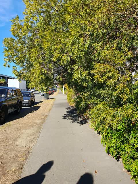
- Overgrown Vegetation —
 Roading/Streets —
 still not resolved. reference 92514066
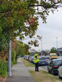
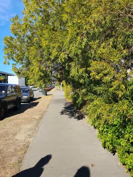 Roading/Streets —
 low hanging branches on trees. staff reported it as health and safety hazard
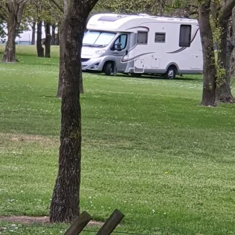
Parks —
Possible illegal Freedom Camping in the dog park
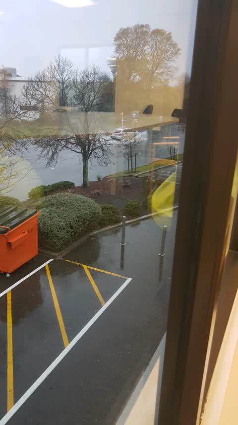
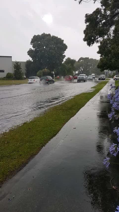
Flooding —
waves entering property
Flooding —
Severe flooding
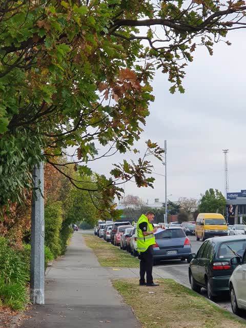
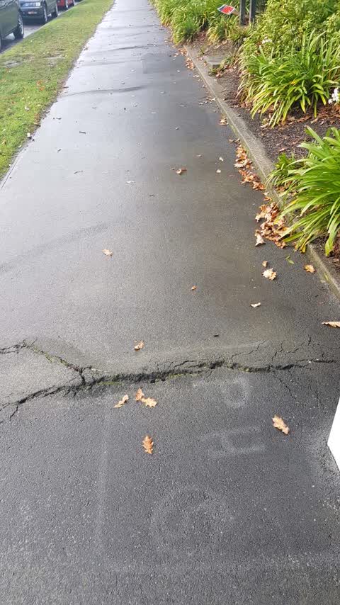
Roading/Streets —
Broken asphalt caused a tripping accident with me this morning
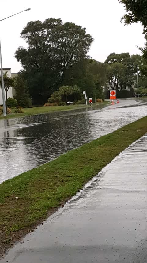
Flooding —
Entire width of street
Also reported on Birmingham Drive
- 11 Birmingham Drive — 38 reports
- 19E Birmingham Drive — 16 reports
- 6 Birmingham Drive — 15 reports
- 33E Birmingham Drive — 14 reports
- 33 Birmingham Drive — 14 reports
- 26 Birmingham Drive — 13 reports
- 41D Birmingham Drive — 11 reports
- 36 Birmingham Drive — 11 reports
The street’s crash record
NZTA’s record names Birmingham Drive in 10 crashes that hurt somebody since 2006 — 1 person killed, 1 seriously hurt.
The green nearby
- Marylands Reserve — 51 m to the edge · Sports ground · 6 ha
- Torrens Reserve — 487 m to the edge
Parks within half a kilometre, measured to the boundary — the council’s open data.
On the doorstep
- Car Clinic Ch-Ch Ltd — 167 m away · Car repair
- Switch Expresso - Roastery — 187 m away · Delis
- Industrie — 190 m away · Cafés
- CJ's Takeways — 229 m away · Fast food
Businesses within four hundred metres, measured at the pin — OpenStreetMap and the council directories.
The bus nearby
- Birmingham Dr near Halls Pl — 77 m away · route 140
- Birmingham Dr near Halls Pl — 176 m away · route 140
The closest Metro stops, within four hundred and fifty metres.
The tracks through here
- Walk and bike track through Middleton — 103 m to the line · walk · bike
- Walk and bike track through Middleton — 143 m to the line · walk · bike
- Walk and bike track through Middleton — 433 m to the line · walk · bike
- Walk and bike track through Middleton — 447 m to the line · walk · bike
- Walk and bike track through Middleton — 460 m to the line · walk · bike
Tracks whose line passes within half a kilometre, measured to the line itself — the council’s open data.
The civic layer
This ground votes in Spreydon ward — the Spreydon-Cashmere-Heathcote community board. Ward lines don’t always follow suburb lines; this one is measured at the pin, not the suburb’s centre.
What stood on this ground → · On the map → · From the air — the Crown’s aerials back to 1936; search the address on RetroLens →
Questions, answered briefly
11 council reports on record since February 2018 — most often roading/streets (3), flooding (3), graffiti on a fence, building or structure (2).
Middleton, Christchurch — on Birmingham Drive.
Nothing on the heritage register at this exact spot — the record around this ground →
Marylands Reserve — 51 m to its edge, 6 ha.