218 Main Road, Moncks Bay
11 reports on record since December 2018 · 3 with photographs. The street’s heaviest record is 243 Main Road — 14 reports on file. Indicative rating valuation and school zones, hazards, bin day and what stood here before.
What gets reported here
Photographed here 3 on record


Reported here
- Hazard — vehicle —
There is a skip outside 1 Bay View Road that has been there for about 6 months, it is over flowing and has loads of full doggie bags in it.
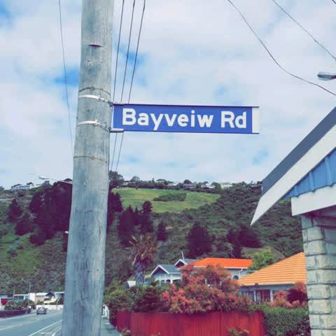
 Damaged Street Sign —
 Strap on Street sign is broken
 Facility - General Request —
 A lot of seaweed / algae etc around Sumner beaches, can it be treated/ removed?
- Damaged Street Sign —
- Road Signage —
- Poles and Signage - General —
- Water Leak —
- Vandalism - General —
- Water Leak —
- Water Leak —
Roading/Streets —
Also reported on Main Road
- 243 Main Road — 14 reports
- 239 Main Road — 12 reports
- 260 Main Road — 7 reports
- 234 Main Road — 7 reports
- 224 Main Road — 6 reports
- 202 Main Road — 6 reports
- 200B Main Road — 6 reports
- 157 Main Road — 6 reports
The street’s crash record
NZTA’s record names Main Road in 6 crashes that hurt somebody since 2006 — 4 seriously hurt, nobody killed.
The green nearby
- Yacht Club Reserve — 152 m to the edge
- Barnett Park Sports Grounds — 173 m to the edge · Sports ground · 8 ha
- Moncks Cave Reserve — 326 m to the edge
Parks within half a kilometre, measured to the boundary — the council’s open data.
The bus nearby
The closest Metro stops, within four hundred and fifty metres.
The tracks through here
- Walk and bike track through Moncks Bay — 11 m to the line · walk · bike
Tracks whose line passes within half a kilometre, measured to the line itself — the council’s open data.
The named ground
Named places within 1.5 km of this address; the council’s own structure register — bridges, boardwalks and steps standing nearby — the open map’s record.
The remembered names nearby
- We Remember With Love our Precious — 22 m away ·
We remember with love our precious / husband, father & grandfather / JAMES COYLE / 1931 -
· 2010 - Moncks Bay Tram Stop 1934 — 89 m away ·
MONCKS BAY TRAM STOP 1934 / BUILT IN 1934 BY STONEMASON WILLIAM VAUGHAN FOR / THE CHRISTCH
· 1998 - Moncks Bay Gun Emplacement / Circa 1940 — 112 m away ·
MONCKS BAY GUN EMPLACEMENT / circa 1940 / (body text illegible due to glare and water)
· 2010
Inscribed plaques within two hundred and fifty metres — the register’s pins, not surveyed spots. The whole roll is at /plaques.
Renting nearby
new bonds in Moncks Bay ran about $700 a week — $150 above the city median of $550 — the suburb page keeps the rent record →.
What was here — Redcliffs Tram/Bus Shelter, Wall and Setting
87 m away · located to ±19 m · the place’s own record →
On the register. Nothing researched here yet.
The civic layer
This ground votes in Heathcote ward — the Spreydon-Cashmere-Heathcote community board. Ward lines don’t always follow suburb lines; this one is measured at the pin, not the suburb’s centre.
What stood on this ground → · On the map → · From the air — the Crown’s aerials back to 1936; search the address on RetroLens →
Questions, answered briefly
11 council reports on record since December 2018 — most often water leak (3), damaged street sign (2), vandalism - general (1).
Moncks Bay, Christchurch — on Main Road.
The heritage register names a place at or beside it — Redcliffs Tram/Bus Shelter, Wall and Setting.
Yacht Club Reserve — 152 m to its edge.