239 Main Road, Moncks Bay
12 reports on record since October 2017 · 7 with photographs. The street’s heaviest record is 243 Main Road — 14 reports on file. Indicative rating valuation and school zones, hazards, bin day and what stood here before.
What gets reported here
- Noise - General — 3
- Roading/Streets — 2
- General Request — 2
- Water Leak — 1
- Street Cleaning — 1
- Rubbish and Bins - General — 1
Photographed here 7 on record


Reported here
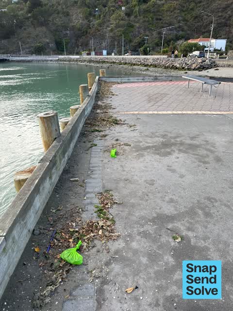
 Pavement - Damaged —
 path has dropped away into the estuary. Been this way for over a year now.
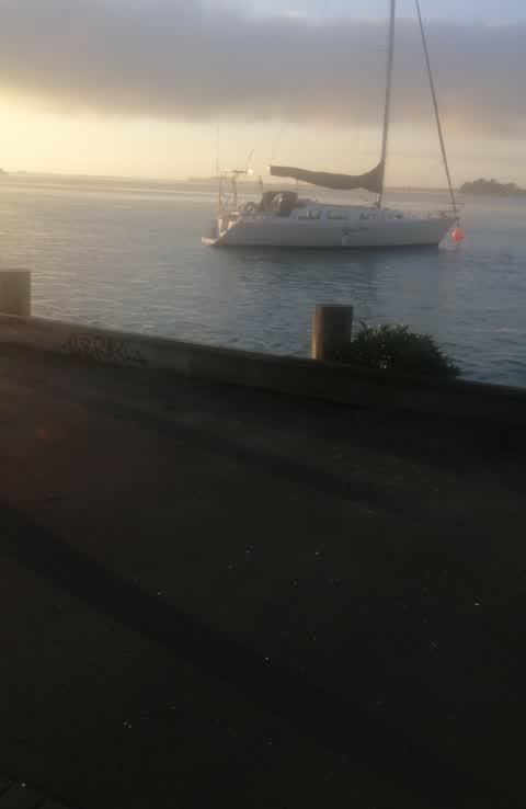
 General Request —
 The bracing wall of the Christchurch Yacht Club shared with the coastal pathway is breaking away and becoming unsafe. If this fails someone
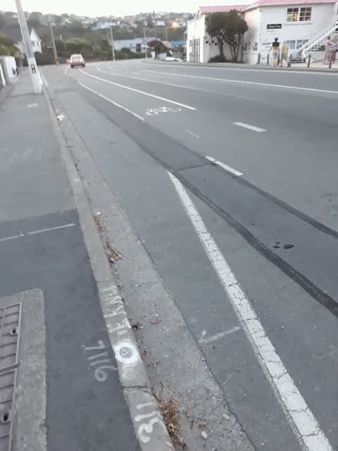
 Street Cleaning —
 Oil spilled all along Main Road in Moncks Bay, leading all the way into Sumner. Just cycled here, it's dangerous and smelly. You can see the
 Rubbish and Bins - General —
 Since the coastal pathway has been built there are no bins. This needs sorting the rangers don’t think so but they wouldn’t like it if if wa
- Noise - General —
- General Request —
- Noise - General —
- Noise - General —
- Water Leak —
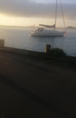 Graffiti —
 Roading/Streets —
Street needs sweeping
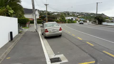
Roading/Streets —
Bus stop sign missing unable to enforce car park on bus stop
Also reported on Main Road
- 243 Main Road — 14 reports
- 218 Main Road — 11 reports
- 260 Main Road — 7 reports
- 234 Main Road — 7 reports
- 224 Main Road — 6 reports
- 202 Main Road — 6 reports
- 200B Main Road — 6 reports
- 157 Main Road — 6 reports
The street’s crash record
NZTA’s record names Main Road in 6 crashes that hurt somebody since 2006 — 4 seriously hurt, nobody killed.
The green nearby
- Yacht Club Reserve — you are in it
- Barnett Park Sports Grounds — 369 m to the edge · Sports ground · 8 ha
- Shag Rock — 460 m to the edge · Regional
- Shag Rock Reserve — 481 m to the edge
- Sumner Beach — 490 m to the edge · Regional · 8 ha
Parks within half a kilometre, measured to the boundary — the council’s open data.
On the doorstep
- Casamassima Italian Fare — 396 m away · Bottle stores
Businesses within four hundred metres, measured at the pin — OpenStreetMap and the council directories.
The bus nearby
The closest Metro stops, within four hundred and fifty metres.
The tracks through here
- Walk and bike track through Moncks Bay — 19 m to the line · walk · bike
Tracks whose line passes within half a kilometre, measured to the line itself — the council’s open data.
The named ground
Named places within 1.5 km of this address; the council’s own structure register — bridges, boardwalks and steps standing nearby — the open map’s record.
The remembered names nearby
- In Memory of Peter Mander Yachting Nz’S 1st Olympic Gold — 9 m away ·
IN MEMORY OF PETER MANDER Yachting NZ’s 1st Olympic Gold Medal Winner Melbourne 1956 Life
· 2009 - Moncks Bay Gun Emplacement / Circa 1940 — 86 m away ·
MONCKS BAY GUN EMPLACEMENT / circa 1940 / (body text illegible due to glare and water)
· 2010 - We Remember With Love our Precious — 180 m away ·
We remember with love our precious / husband, father & grandfather / JAMES COYLE / 1931 -
· 2010
Inscribed plaques within two hundred and fifty metres — the register’s pins, not surveyed spots. The whole roll is at /plaques.
Renting nearby
new bonds in Moncks Bay ran about $700 a week — $150 above the city median of $550 — the suburb page keeps the rent record →.
The civic layer
This ground votes in Heathcote ward — the Spreydon-Cashmere-Heathcote community board. Ward lines don’t always follow suburb lines; this one is measured at the pin, not the suburb’s centre.
What stood on this ground → · On the map → · From the air — the Crown’s aerials back to 1936; search the address on RetroLens →
Questions, answered briefly
12 council reports on record since October 2017 — most often noise - general (3), roading/streets (2), general request (2).
Moncks Bay, Christchurch — on Main Road.
Nothing on the heritage register at this exact spot — the record around this ground →
Yacht Club Reserve — the address is inside it.