14 Bridge Street, New Brighton
14 reports on record since October 2020 · 9 with photographs. The street’s heaviest record is 143 Bridge Street — 133 reports on file. Indicative rating valuation and school zones, hazards, bin day and what stood here before.
What gets reported here
Photographed here 9 on record



Reported here
- Dumped Rubbish —
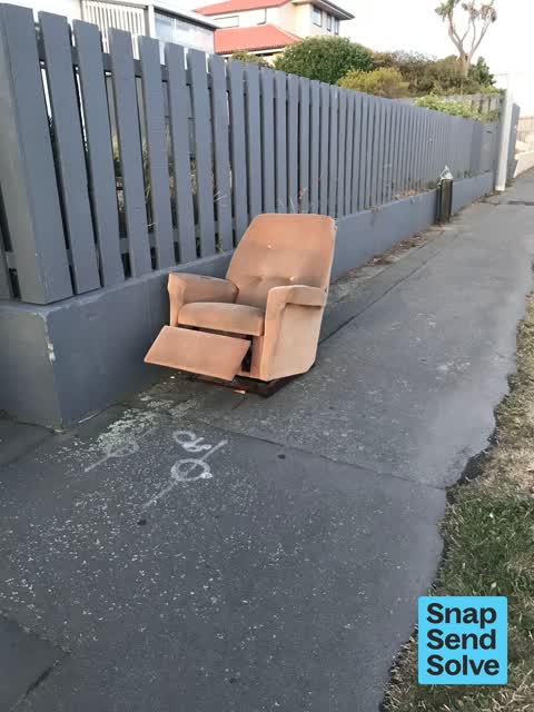
Furniture on side of road
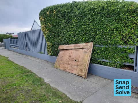
 Dumped Rubbish —
 Single mattress. It’s been here for about 2 weeks. No one wants it.
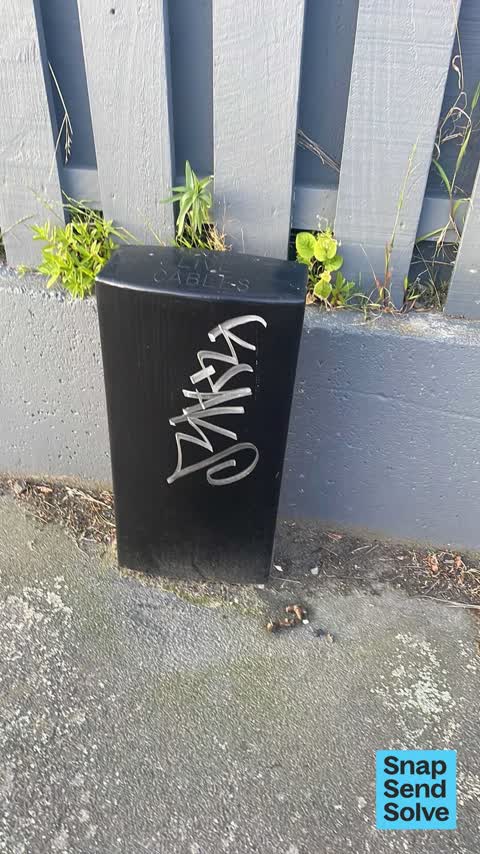
 Graffiti somewhere else —
 On black cable box
- Damaged Street Light —
Central Light is not working. Had someone replacing Iight last week but it's still not working
 Dumped Rubbish —
  Dumped Rubbish —
 An old chair that has now been sitting in the rain for 2 days
 Dumped Rubbish —
 This mattress and other detritus has been here for days. It is rubbish- no one wants this crap
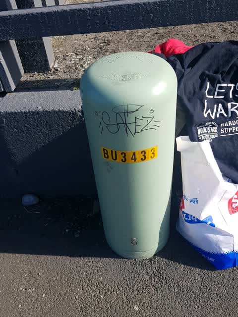
 Graffiti —
 On the street lamp
 Graffiti —
 More
 Graffiti —
 More
- Dumped Rubbish —
- Dumped Rubbish —
- Dumped Rubbish —
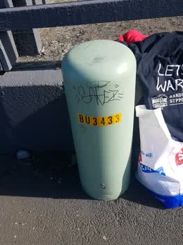 Graffiti —
Also reported on Bridge Street
- 143 Bridge Street — 133 reports
- 114 Bridge Street — 44 reports
- 200 Bridge Street — 26 reports
- 116 Bridge Street — 18 reports
- 124–156 Bridge Street — 10 reports
- 62A Bridge Street — 9 reports
- 127 Bridge Street — 9 reports
- 65 Bridge Street — 8 reports
The street’s crash record
NZTA’s record names Bridge Street in 8 crashes that hurt somebody since 2006 — 1 seriously hurt, nobody killed.
The green nearby
- South New Brighton Beach — 97 m to the edge · Regional · 37 ha
- Te Karoro Karoro Reserve — 111 m to the edge · 2 ha
- Blighs Garden — 491 m to the edge · 6 ha
Parks within half a kilometre, measured to the boundary — the council’s open data.
On the doorstep
- Common Ground - South Brighton — 191 m away · Fast food
- Dune Cafe — 191 m away · Cafés
- Green Bear Coffee — 192 m away · Coffee roasters
- Challenge — 256 m away · Petrol stations
Businesses within four hundred metres, measured at the pin — OpenStreetMap and the council directories.
The bus nearby
The closest Metro stops, within four hundred and fifty metres.
The named ground
Named places within 1.5 km of this address; the council’s own structure register — bridges, boardwalks and steps standing nearby — the open map’s record.
The remembered names nearby
- In Recognition of the Assistance Given to the Christchurch — 144 m away ·
IN RECOGNITION OF THE ASSISTANCE GIVEN TO THE CHRISTCHURCH CITY COUNCIL BY BILL JARMAN IN
· 2003 - In Loving Memory of / Paula Marie Bobby — 189 m away ·
IN LOVING MEMORY OF / PAULA MARIE BOBBY
· 2000
Inscribed plaques within two hundred and fifty metres — the register’s pins, not surveyed spots. The whole roll is at /plaques.
Renting nearby
new bonds in New Brighton ran about $520 a week — $30 below the city median of $550 — the suburb page keeps the rent record →.
The civic layer
This ground votes in Coastal ward — the Coastal-Burwood-Linwood community board. Ward lines don’t always follow suburb lines; this one is measured at the pin, not the suburb’s centre.
What stood on this ground → · On the map → · From the air — the Crown’s aerials back to 1936; search the address on RetroLens →
Questions, answered briefly
14 council reports on record since October 2020 — most often dumped rubbish (8), graffiti (4), graffiti somewhere else (1).
New Brighton, Christchurch — on Bridge Street.
Nothing on the heritage register at this exact spot — the record around this ground →
South New Brighton Beach — 97 m to its edge, 37 ha.